MyTopo
Center Point Arkansas US Topo Map
Couldn't load pickup availability
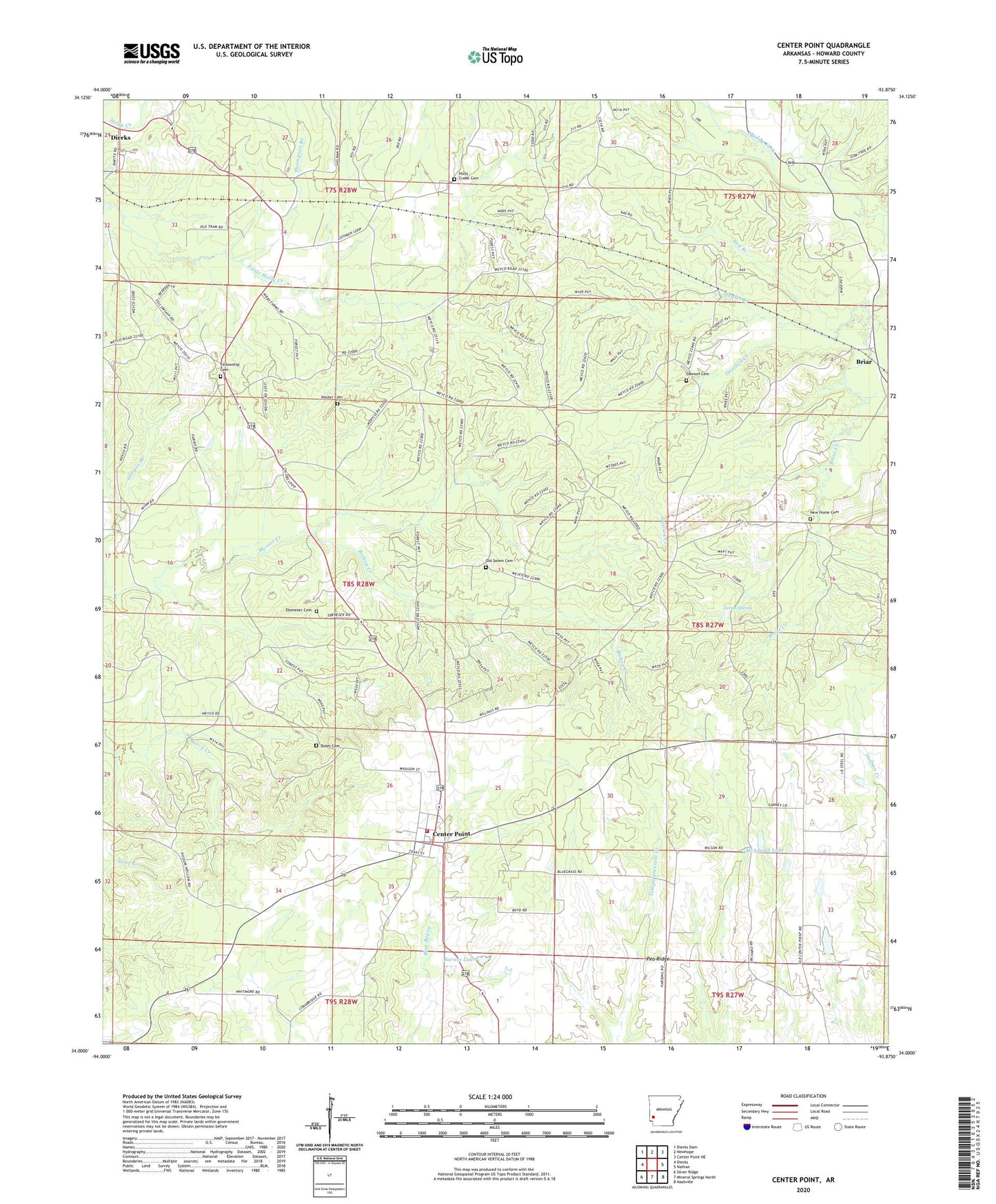
2024 topographic map quadrangle Center Point in the state of Arkansas. Scale: 1:24000. Based on the newly updated USGS 7.5' US Topo map series, this map is in the following counties: Howard. The map contains contour data, water features, and other items you are used to seeing on USGS maps, but also has updated roads and other features. This is the next generation of topographic maps. Printed on high-quality waterproof paper with UV fade-resistant inks.
Quads adjacent to this one:
West: Dierks
Northwest: Dierks Dam
North: Newhope
Northeast: Center Point NE
East: Nathan
Southeast: Nashville
South: Mineral Springs North
Southwest: Silver Ridge
This map covers the same area as the classic USGS quad with code o34093a8.
Contains the following named places: Antioch Church, Barnes Lake, Barnes Lake Dam, Bishop Creek, Boles Cemetery, Camp Ebenezer, Center Point, Center Point Census Designated Place, Center Point Volunteer Fire Department, Dawson Cemetery, Dawson Creek, Ebenezer Cemetery, Fellowship Cemetery, Fellowship Church, Hagler Creek, Hester Cemetery, Holly Creek Cemetery, Howard County, Independence Hall School, James Spring, McAdams Lake, McAdams Lake Dam, Mount Olive Church, New Bethel Church, New Home Cemetery, New View Church, Old Salem Cemetery, Oregon Branch, Pea Ridge, Red Branch, Salem School, Shaws Store, Thompson Branch, Township of Center Point, Township of Holly Creek, Wesley Chapel