MyTopo
Chalybeate Mountain East Arkansas US Topo Map
Couldn't load pickup availability
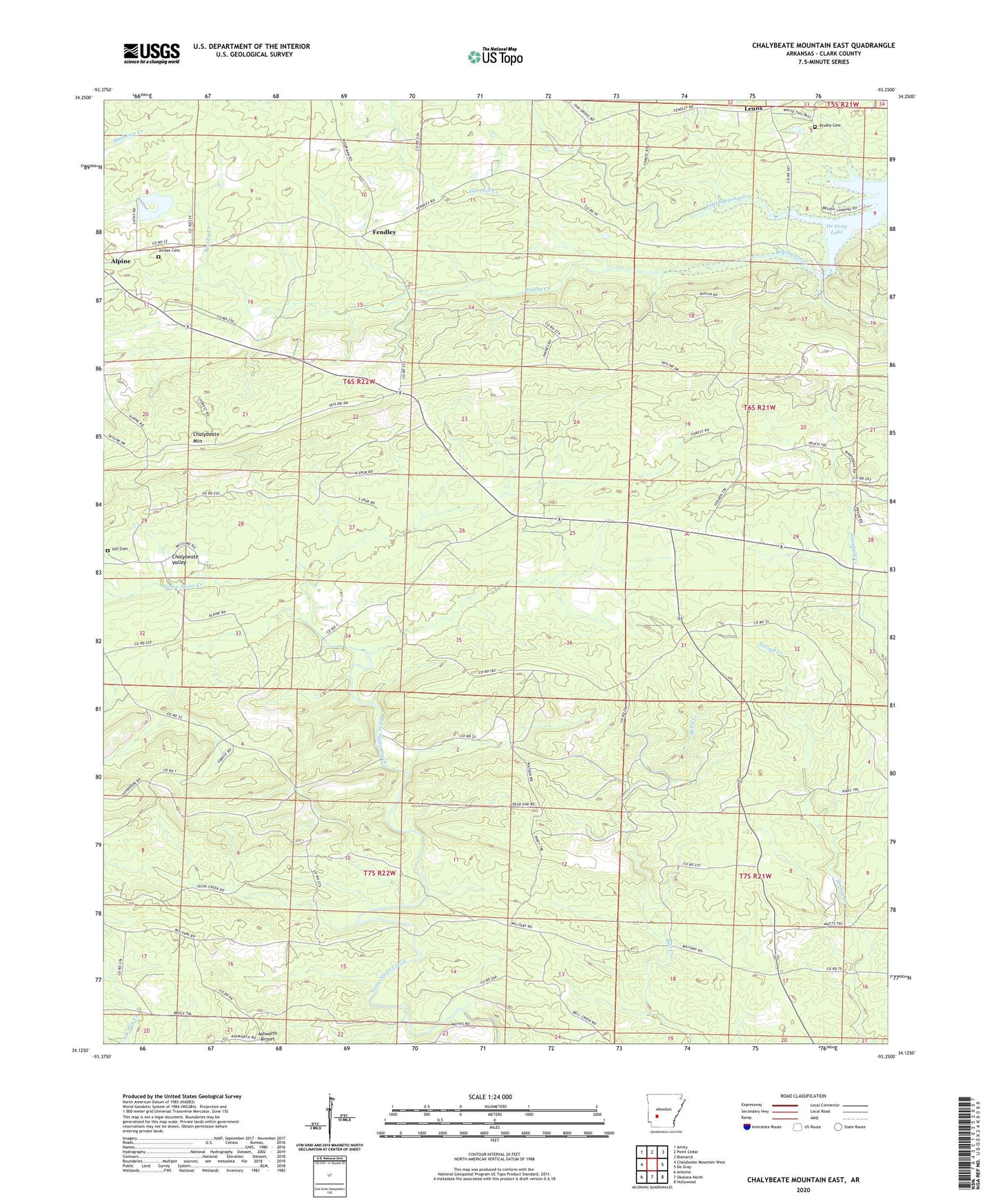
2024 topographic map quadrangle Chalybeate Mountain East in the state of Arkansas. Scale: 1:24000. Based on the newly updated USGS 7.5' US Topo map series, this map is in the following counties: Clark. The map contains contour data, water features, and other items you are used to seeing on USGS maps, but also has updated roads and other features. This is the next generation of topographic maps. Printed on high-quality waterproof paper with UV fade-resistant inks.
Quads adjacent to this one:
West: Chalybeate Mountain West
Northwest: Amity
North: Point Cedar
Northeast: Bismarck
East: De Gray
Southeast: Hollywood
South: Okolona North
Southwest: Antoine
This map covers the same area as the classic USGS quad with code o34093b3.
Contains the following named places: Alpine Lookout Tower, Ashworth Airport, Barksdale Lake Dam, Brushy Cemetery, Brushy Creek Access Point, Chalybeate Mountain, Chalybeate Valley, Chalybeate Valley Church, Fendley, Fendley School, Gus Still Creek, Hill Cemetery, Jordan Cemetery, Lake Barksdale, Lenox, Little Brushy Creek, Oak Grove Church, Township of Amity, Township of Leard, Union Church