MyTopo
Culler Arkansas US Topo Map
Couldn't load pickup availability
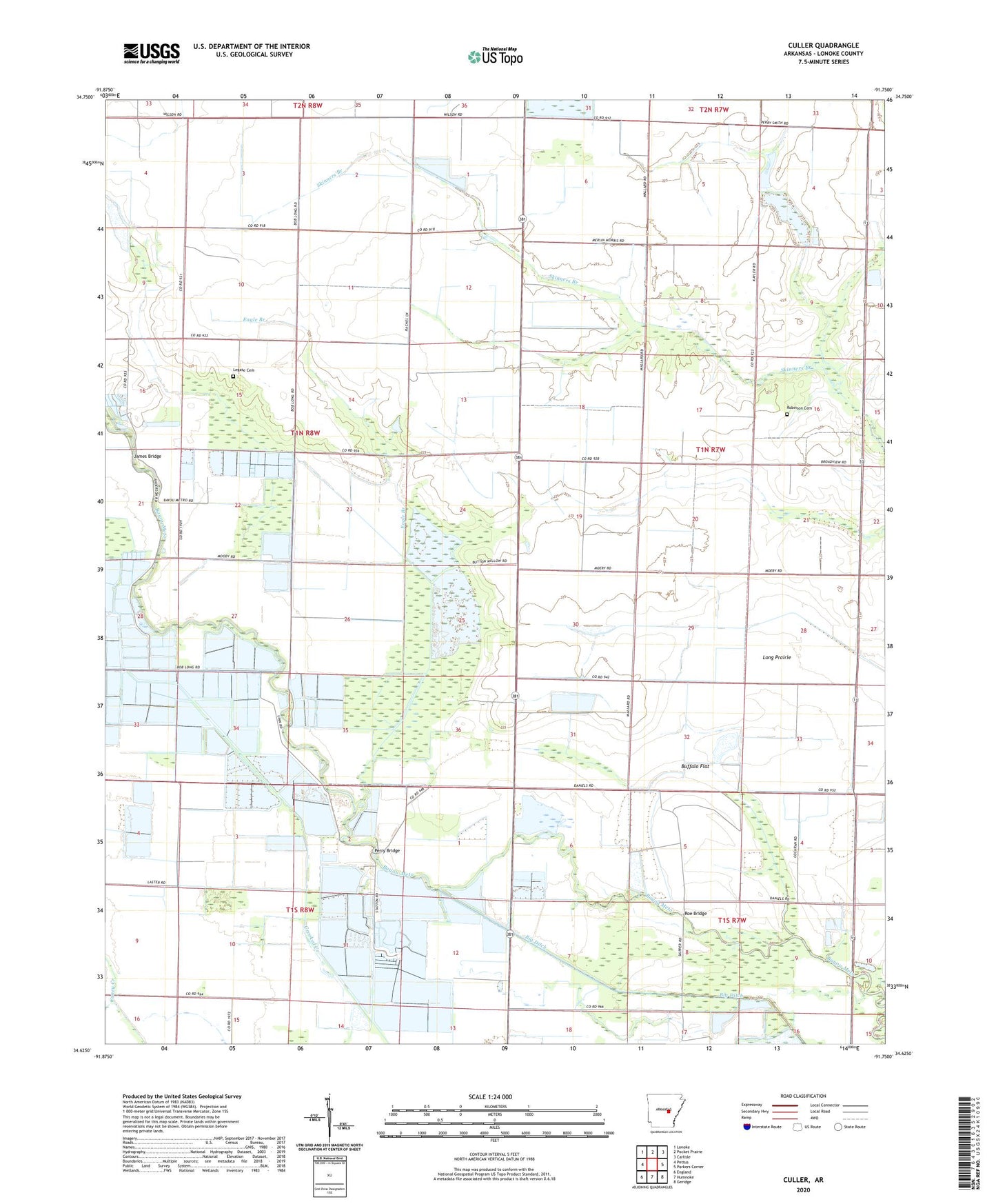
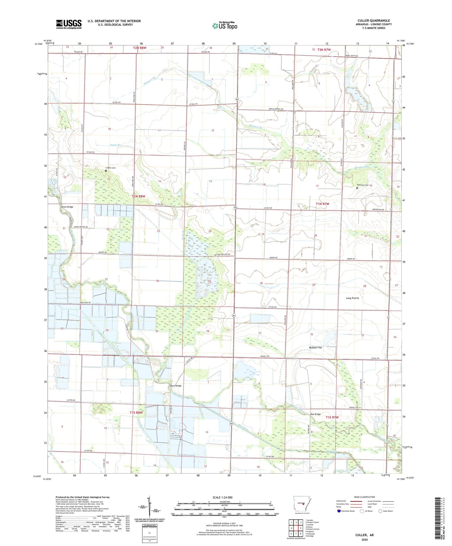
2024 topographic map quadrangle Culler in the state of Arkansas. Scale: 1:24000. Based on the newly updated USGS 7.5' US Topo map series, this map is in the following counties: Lonoke. The map contains contour data, water features, and other items you are used to seeing on USGS maps, but also has updated roads and other features. This is the next generation of topographic maps. Printed on high-quality waterproof paper with UV fade-resistant inks.
Quads adjacent to this one:
West: Pettus
Northwest: Lonoke
North: Pocket Prairie
Northeast: Carlisle
East: Parkers Corner
Southeast: Geridge
South: Humnoke
Southwest: England
This map covers the same area as the classic USGS quad with code o34091f7.
Contains the following named places: Bayou Meto, Bayou Meto Church, Beechwood School, Broadview School, Buffalo Flat, Caney School, Cottonwood School, Culler, Eagle Branch, Fishtrap Slough, James Bridge, James School, Legate Cemetery, Long Prairie, Perry Bridge, Pinewood School, Pleasant Grove Church, Polecat Slough, Prairie Longue School, Richwood Church, Robinson Cemetery, Roe Bridge, Scotts School, Shiloh Church, Township of Scott