MyTopo
Etowah Arkansas US Topo Map
Couldn't load pickup availability
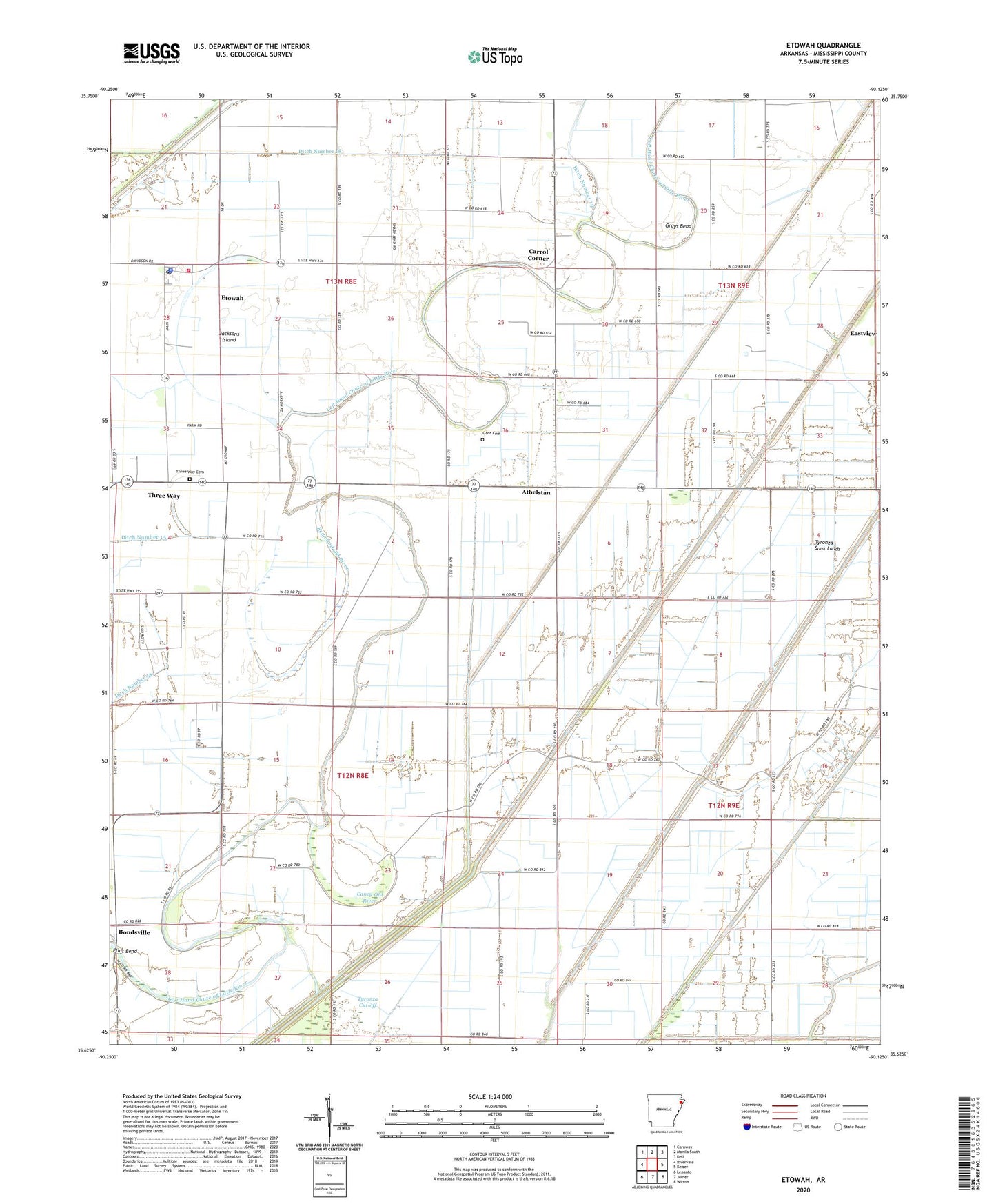
2024 topographic map quadrangle Etowah in the state of Arkansas. Scale: 1:24000. Based on the newly updated USGS 7.5' US Topo map series, this map is in the following counties: Mississippi. The map contains contour data, water features, and other items you are used to seeing on USGS maps, but also has updated roads and other features. This is the next generation of topographic maps. Printed on high-quality waterproof paper with UV fade-resistant inks.
Quads adjacent to this one:
West: Rivervale
Northwest: Caraway
North: Manila South
Northeast: Dell
East: Keiser
Southeast: Wilson
South: Joiner
Southwest: Lepanto
This map covers the same area as the classic USGS quad with code o35090f2.
Contains the following named places: Athelstan, Bondsville, Bondsville Landing Strip, Bowman Landing Strip, Brinkleys Chapel Baptist Church, Caney Old River, Carrol Corner, Church of Christ, Church of God, Ditch Number 1, Ditch Number 18, Ditch Number 19, Ditch Number 40b, Ditch Number 5, Ditch Number 58, Ditch Number 8, Eastview, Etowah, Etowah Baptist Church, Etowah Police Department, Etowah Post Office, Etowah Volunteer Fire Department, Flint Bend, Gant Cemetery, Garden Point United Methodist Church, Grays Bend, Hatcher School, Jacksons Island, Kochtitzky Ditch Number 1, Lilly Robertson Store, McGinnis Landing Strip, New Bethel Church, Pentecostal Church, Red Line School, Redmond Old River, Shady Bend School, Stillman School, The Church of God, Three Way, Three Way Cemetery, Town of Etowah, Township of Little River, Tyronza Cut-off, Tyronza Sunk Lands, ZIP Code: 72428