MyTopo
Wilson Arkansas US Topo Map
Couldn't load pickup availability
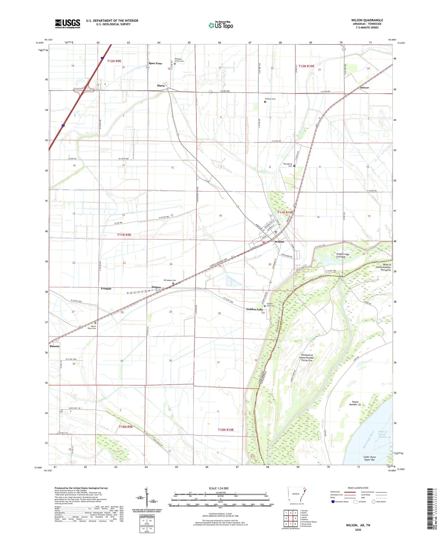
2024 topographic map quadrangle Wilson in the states of Arkansas, Tennessee. Scale: 1:24000. Based on the newly updated USGS 7.5' US Topo map series, this map is in the following counties: Mississippi, Tipton. The map contains contour data, water features, and other items you are used to seeing on USGS maps, but also has updated roads and other features. This is the next generation of topographic maps. Printed on high-quality waterproof paper with UV fade-resistant inks.
Quads adjacent to this one:
West: Joiner
Northwest: Etowah
North: Keiser
Northeast: Osceola
East: Nodena
Southeast: Drummonds
South: Pecan Point
Southwest: Frenchmans Bayou
Contains the following named places: Bend of island 35 Revetment, Bethlehem Church, Cedar Point Upper Bar, City of Wilson, Davis Church, Delpro, Ditch A, Ditch E, Ditch Number 1, Ditch Number 19, Ditch Number 2, Ditch Number 21, Ditch Number 22, Ditch Number 23, Ditch Number 24, Ditch Number 24A, Ditch Number 3, Ditch Number 33, Ditch Number 34, Ditch Number 4, Ditch Number 9, Driver, Driver Post Office, Evadale, First Baptist Church of Wilson, Golden Lake, Golden Lake Cemetery, Golden Lake Church, Golden Lake Crevasse, Golden Lake Landing, Golden Lake Revetment, Holt, Howards Landing, Island Number 35, Lowrance Airport, Macedonia Cemetery, Macedonia Church, Marie, McFadden Cemetery, Mount Olive Cemetery, Mount Olive Church, New Mount Zion Church, Nodena Memorial Baptist Church, Pilgrims Rest Church, Pittman Cemetery, Pleasant Grove Cemetery, Pleasant Grove Church, Rivercrest High School, Rivercrest Junior High, Spur Four, Towhead of Island Number Thirty-five, Town of Marie, Township of Carson, Township of Carson Lake, Township of Golden Lake, Wilson, Wilson Elementary School, Wilson Landing Strip, Wilson Lodge, Wilson Middle School, Wilson Post Office, Wilson School, Wilson Volunteer Fire Department, ZIP Code: 72395


