MyTopo
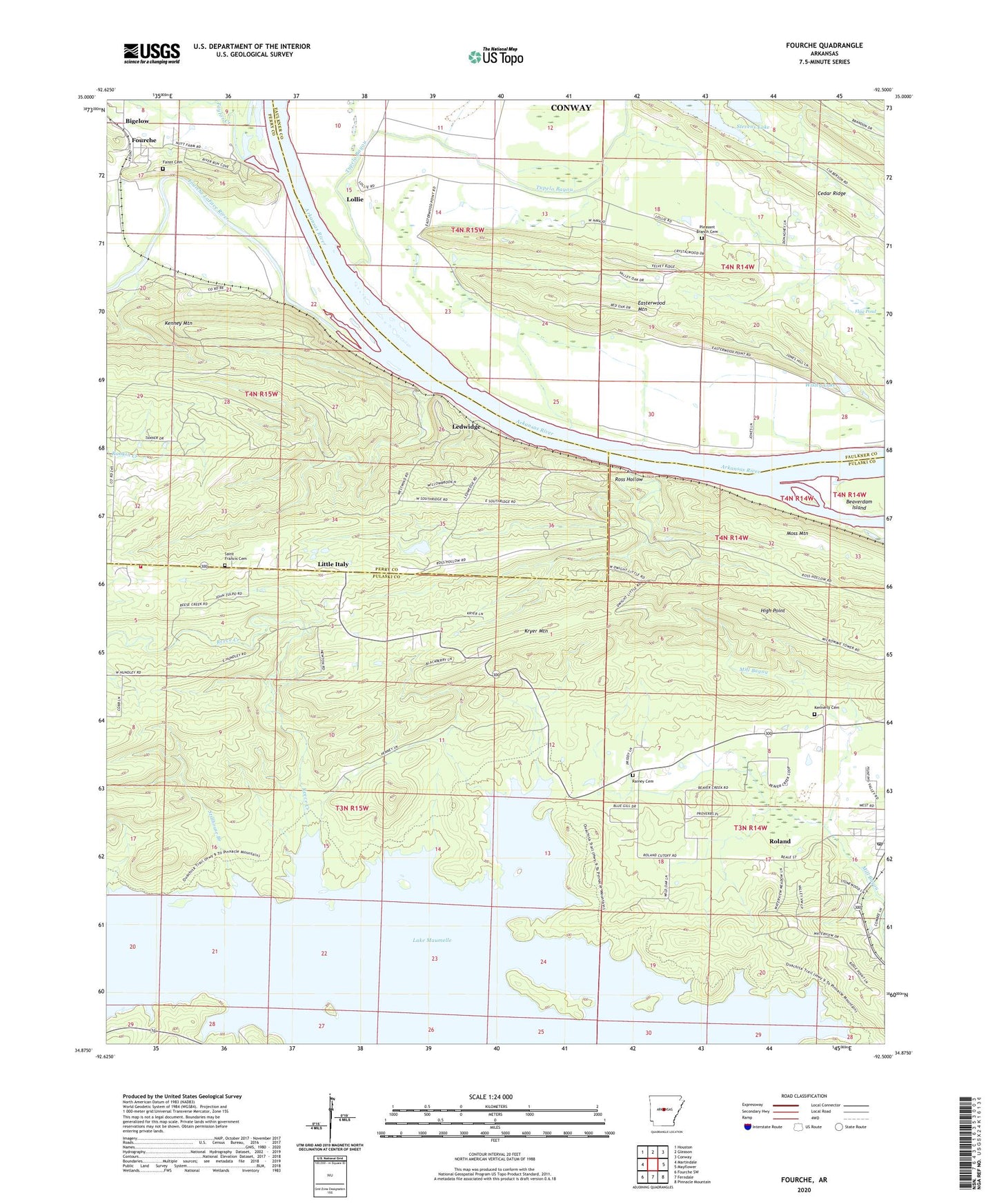
Fourche Arkansas US Topo Map
Couldn't load pickup availability
2024 topographic map quadrangle Fourche in the state of Arkansas. Scale: 1:24000. Based on the newly updated USGS 7.5' US Topo map series, this map is in the following counties: Pulaski, Faulkner, Perry. The map contains contour data, water features, and other items you are used to seeing on USGS maps, but also has updated roads and other features. This is the next generation of topographic maps. Printed on high-quality waterproof paper with UV fade-resistant inks.
Quads adjacent to this one:
West: Martindale
Northwest: Houston
North: Gleason
Northeast: Conway
East: Mayflower
Southeast: Pinnacle Mountain
South: Ferndale
Southwest: Fourche SW
This map covers the same area as the classic USGS quad with code o34092h5.
Contains the following named places: Browns Lake, Browns Lake Dam, Campbell Lake Dam, Dead Horse Branch, Easterwood Mountain, Faisst Cemetery, Fourche, Fourche LaFave River, High Point, Jolly Roger Landing, Kennerly Cemetery, Kenney, Kenney Mountain, Kryer Mountain, Lake Maumelle, Lawson Ferry, Ledwidge, Ledwidge School, Little Italy, Lollie, Lollie School, Lundsford Corner, Moss Mountain, Mount Moriah Church, Open Pond, Pleasant Branch Cemetery, Pleasant Branch Church, Providence, Providence Church, Rainey Cemetery, Reece Creek, Roland Census Designated Place, Roland Post Office, Ross Hollow, Saint Francis Cemetery, Stevens Lake, Stevens Lake Dam, Stillhouse Branch, Taylor Creek, The Campbells Lake, Town of Fourche, Township of Benedict, Township of Ledwidge, Township of Wye, Troutman Chapel, Tupelo Bayou, Twin Creek, West Pulaski Fire Department Station 4, Wisley Lake, Wisley Lake Dam, ZIP Codes: 72106, 72135


