MyTopo
Georgetown Arkansas US Topo Map
Couldn't load pickup availability
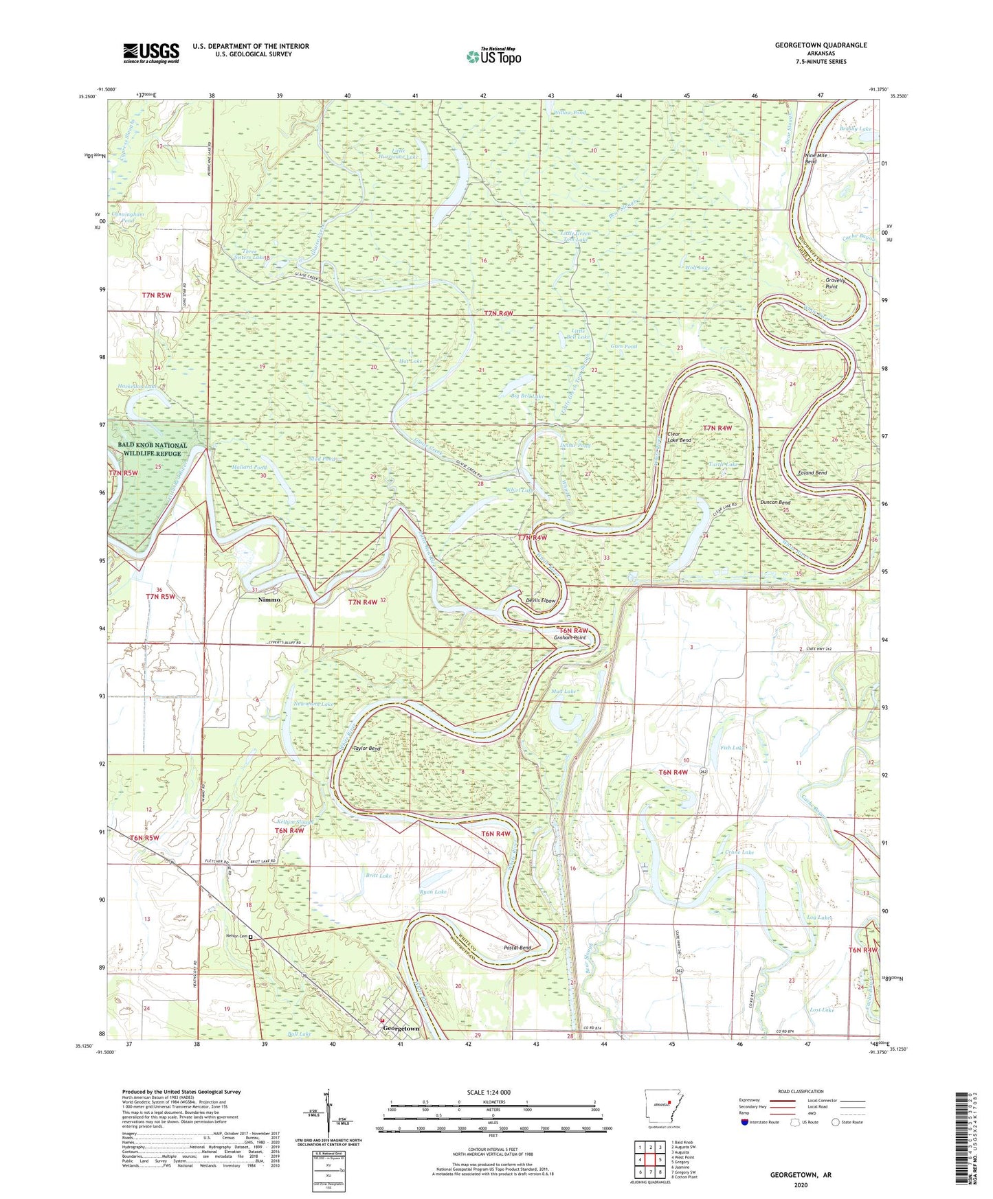
2024 topographic map quadrangle Georgetown in the state of Arkansas. Scale: 1:24000. Based on the newly updated USGS 7.5' US Topo map series, this map is in the following counties: White, Woodruff. The map contains contour data, water features, and other items you are used to seeing on USGS maps, but also has updated roads and other features. This is the next generation of topographic maps. Printed on high-quality waterproof paper with UV fade-resistant inks.
Quads adjacent to this one:
West: West Point
Northwest: Bald Knob
North: Augusta SW
Northeast: Augusta
East: Gregory
Southeast: Cotton Plant
South: Gregory SW
Southwest: Jasmine
This map covers the same area as the classic USGS quad with code o35091b4.
Contains the following named places: Bayou Missionary Baptist Church, Bear Slough, Big Bell Lake, Big Hurricane Lake, Britt Lake, Brushy Lake, Clear Lake, Clear Lake Bend, Crane Lake, Cunningham Pond, Devils Elbow, Dollar Pond, Duncan Bend, Ealand Bend, Faith Assembly Church, Fish Lake, Georgetown, Georgetown Fire Department, Georgetown Post Office, Glaise Creek, Graham Point, Gravelly Point, Gum Pond, Hackelton Lake, Hat Lake, Honey Lake, Hurricane Lake State Game Area, Kellum Slough, Little Bell Lake, Little Green Tom Lake, Little Green Tom Slough, Little Hurricane Lake, Little Red River, Log Lake, Lone Star Baptist Church, Lost Lake, Mallard Pond, Mitchell Corner, Mud Lake, Mud Pond, Nelson Cemetery, Newmann Lake, Nimmo, Nine Mile Bend, Postal Bend, Postal Landing, Princeton Landing, Ryan Lake, Sevenmile Lake, Taylor Bend, Three Sisters Lake, Town of Georgetown, Township of Francure, Turtle Lake, Whirl Creek, Whirl Lake, Wolf Lake