MyTopo
Hartman Arkansas US Topo Map
Couldn't load pickup availability
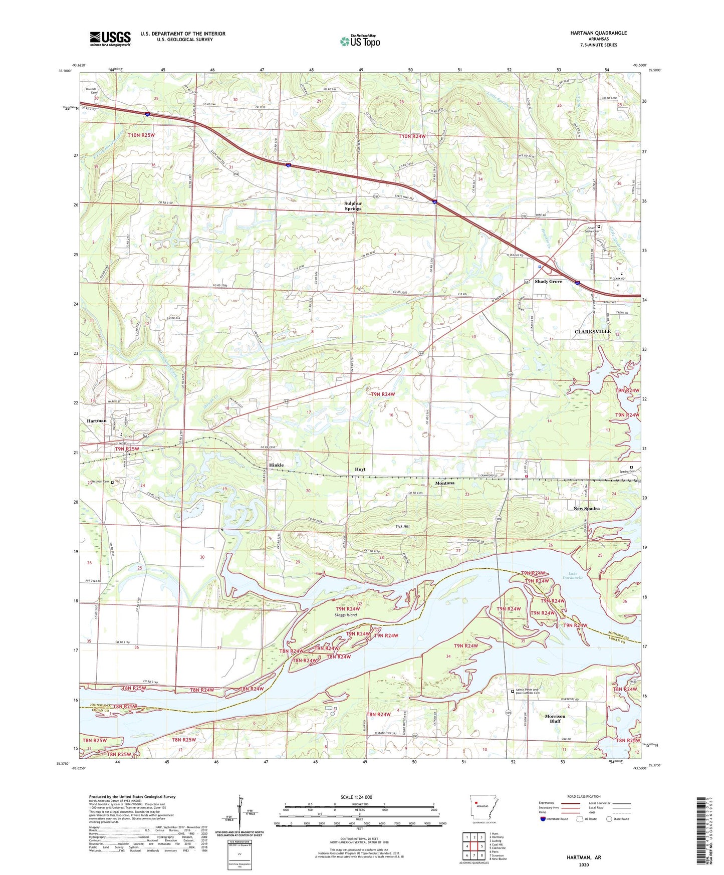
2024 topographic map quadrangle Hartman in the state of Arkansas. Scale: 1:24000. Based on the newly updated USGS 7.5' US Topo map series, this map is in the following counties: Johnson, Logan. The map contains contour data, water features, and other items you are used to seeing on USGS maps, but also has updated roads and other features. This is the next generation of topographic maps. Printed on high-quality waterproof paper with UV fade-resistant inks.
Quads adjacent to this one:
West: Coal Hill
Northwest: Hunt
North: Harmony
Northeast: Ludwig
East: Clarksville
Southeast: New Blaine
South: Scranton
Southwest: Paris
This map covers the same area as the classic USGS quad with code o35093d5.
Contains the following named places: Arkansas State Police, Arkansas State Police Highway Patrol Troop J, Burt Creek, Bushtown, Cane Creek, Cane Creek Public Use Area, City of Hartman, Clarksville High School, Clarksville Primary School, Fernwood Assembly of God Church, First Baptist Church of Hartman, Goose Camp, Hartman, Hartman Cemetery, Hartman Post Office, Hartman United Methodist Church, Hays Chapel, Hays Chapel United Methodist Church, Hinkle, Hogskin Creek, Horse Head Public Use Area, Horsehead Creek, Hoyt, Johnson County Landfill, Johnson County Rural Fire Department Station 9 Spadra, Johnson County Rural Fire District 4, Kendall Cemetery, Kendall Church, KGMR Radio Tower, KGMR-FM (Clarksville), KLYR Radio Tower, KLYR-FM (Clarksville), Montana, Morrison Bluff, New Life Christian School, New Spadra, Sacred Heart, Sacred Heart Catholic Church, Saint's Peter and Paul Catholic Cemetery, Saints Peter and Paul Catholic Church, Scranton Gas Field, Shady Grove, Shady Grove Cemetery, Sixmile Creek, Skaggs Island, Slough Creek, Spadra Cemetery, Sulphur Springs, Tick Hill, Town of Morrison Bluff, Township of Prairie, Township of River, Township of Ward, Union City, Union City Gas Field, Union Grove Baptist Church, West Mount Zion Church, Westside Elementary School, Westside School, ZIP Code: 72840


