MyTopo
Monticello South Arkansas US Topo Map
Couldn't load pickup availability
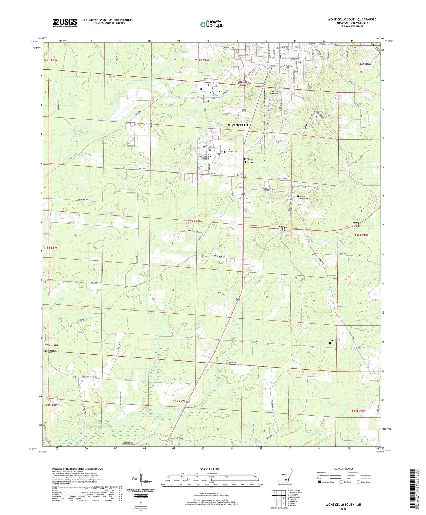
2024 topographic map quadrangle Monticello South in the state of Arkansas. Scale: 1:24000. Based on the newly updated USGS 7.5' US Topo map series, this map is in the following counties: Drew. The map contains contour data, water features, and other items you are used to seeing on USGS maps, but also has updated roads and other features. This is the next generation of topographic maps. Printed on high-quality waterproof paper with UV fade-resistant inks.
Quads adjacent to this one:
West: Wilmar South
Northwest: Wilmar North
North: Monticello North
Northeast: Collins NW
East: Cominto
Southeast: Mist NW
South: Ladelle
Southwest: Longview
This map covers the same area as the classic USGS quad with code o33091e7.
Contains the following named places: Arkansas Game and Fish Commission Law Enforcement Southeast Regional Office, Baker Cemetery, Bowser, Brooks Chapel Baptist Church, College Heights, Drew Central Elementary School, Drew Central High School, Drew High School, Drew Memorial Health System, Drew Memorial Hospital Heliport, First Assembly of God Church, Friendship Baptist Church, Friendship Cemetery, Gethsemane Baptist Church, KHBM-AM (Monticello), KHBM-FM (Monticello), McCloy Park, Monticello Elementary School, Monticello Farm, Monticello Fire Department Station 2, Monticello High School, Monticello Intermediate School, Monticello Junior High School, Monticello Kindergarten, Monticello Middle School, New Light Baptist Church, Oakwoods, Ozmont Bluff, Paradise, Pine Grove Church, Red Neck, Reed Settlement, Rough and Ready, Rough and Ready Cemetery, Scrouge Out, Shady Grove Church, South Fork Clear Creek, Township of Marion, Union Ridge Cemetery, University of Arkansas at Monticello, University of Arkansas at Monticello Post Office, University of Arkansas Monticello Campus Police, Wood Creek


