MyTopo
Needham Arkansas US Topo Map
Couldn't load pickup availability
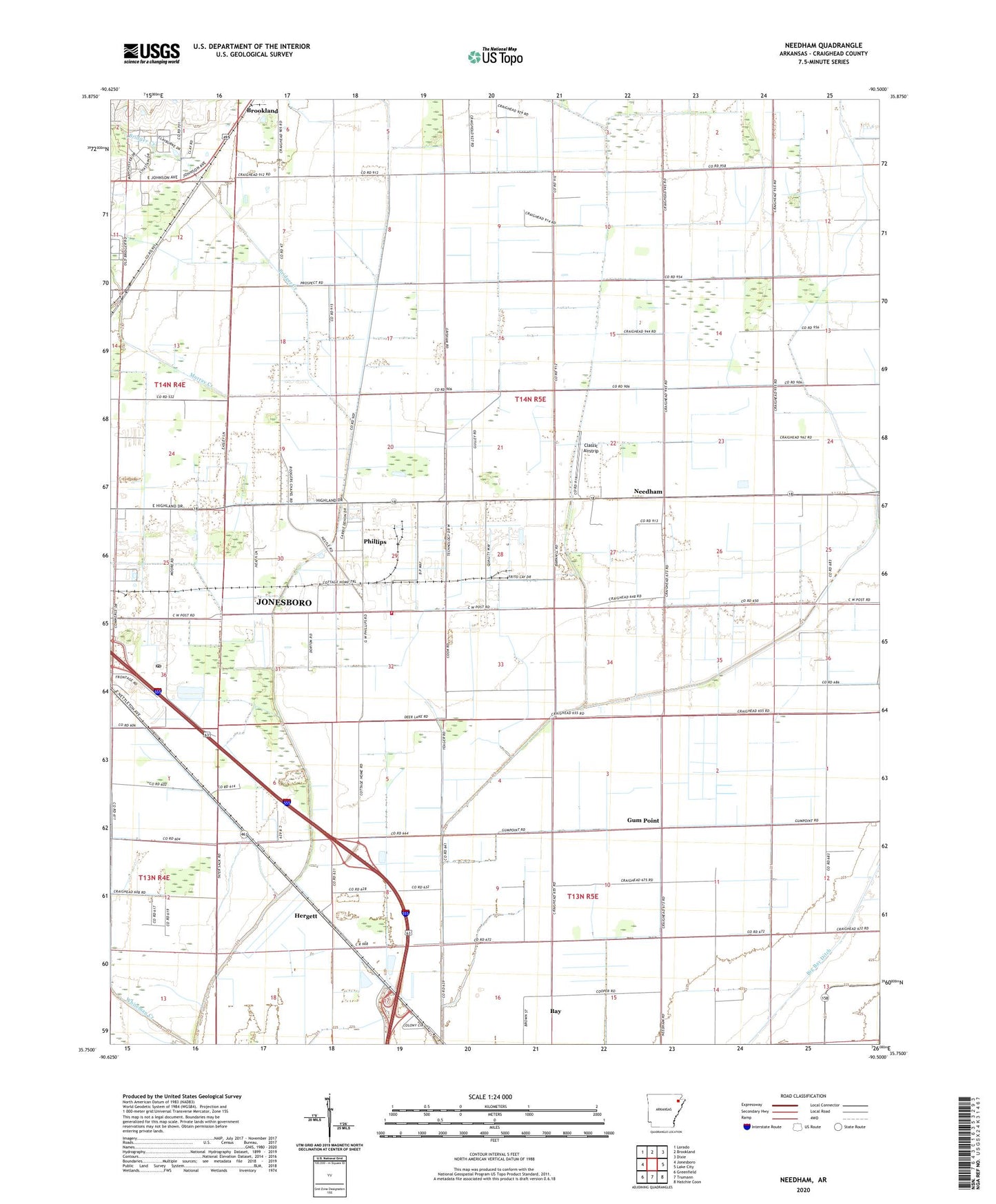
2024 topographic map quadrangle Needham in the state of Arkansas. Scale: 1:24000. Based on the newly updated USGS 7.5' US Topo map series, this map is in the following counties: Craighead. The map contains contour data, water features, and other items you are used to seeing on USGS maps, but also has updated roads and other features. This is the next generation of topographic maps. Printed on high-quality waterproof paper with UV fade-resistant inks.
Quads adjacent to this one:
West: Jonesboro
Northwest: Lorado
North: Brookland
Northeast: Dixie
East: Lake City
Southeast: Hatchie Coon
South: Trumann
Southwest: Greenfield
This map covers the same area as the classic USGS quad with code o35090g5.
Contains the following named places: Air - Evacuation Lifeteam 2, Bridger Creek, Brown Church, Brown School, Butler Ditch, Classic Airstrip, Cottage Home Church, Cross Roads Church, Disinger-Farrville Landing Strip, Ditch Number 2, Ditch Number 3, Ditch Number 7, Farrville, Gum Point, Gum Point School, Gum Slough Ditch, Herget Chapel, Hergett, John Parker Strip, Jonesboro Industrial Development Corporation Industrial Park, Lateral Number 1, Lateral Number 2, Lateral Number 2 Moores Ditch, Lateral Number 3, Liberty Church, Little Bay Ditch, Main Ditch, Maple Slough Ditch, Mount Olive Church, Murray Creek, Needham, Needham Church, Northeast Arkansas Post Office, Pekin, Phillips, Phillips School, Pleasant Valley School, Pleasant Valley United Methodist Church, Providence Gum Point Church, Rogers CHapel, Rogers School, Township of Nettleton, Webbs Mill, Whitburg