MyTopo
Ogden Arkansas US Topo Map
Couldn't load pickup availability
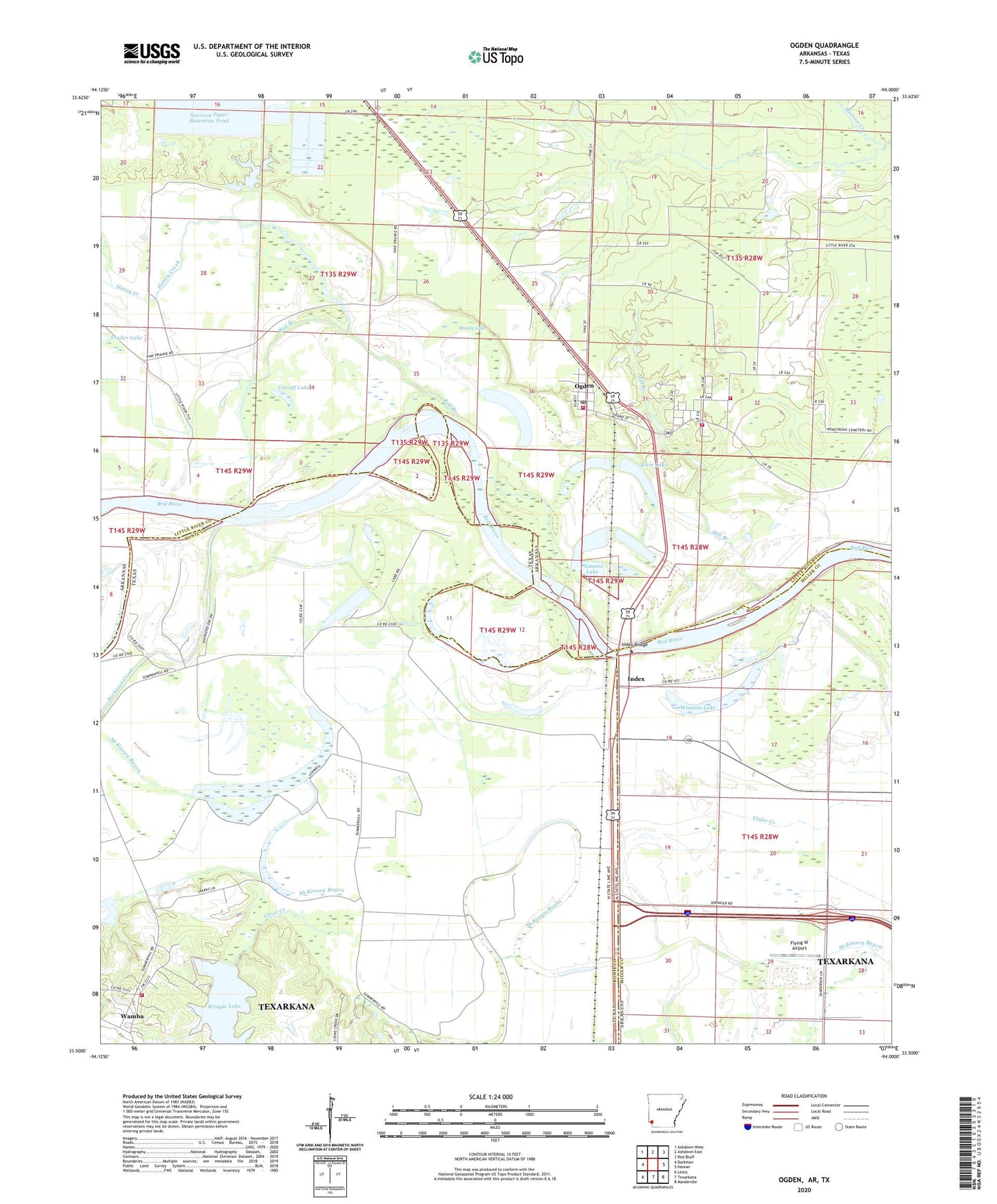
2024 topographic map quadrangle Ogden in the states of Arkansas, Texas. Scale: 1:24000. Based on the newly updated USGS 7.5' US Topo map series, this map is in the following counties: Little River, Bowie, Miller. The map contains contour data, water features, and other items you are used to seeing on USGS maps, but also has updated roads and other features. This is the next generation of topographic maps. Printed on high-quality waterproof paper with UV fade-resistant inks.
Quads adjacent to this one:
West: Barkman
Northwest: Ashdown West
North: Ashdown East
Northeast: Red Bluff
East: Homan
Southeast: Mandeville
South: Texarkana
Southwest: Leary
Contains the following named places: Bringle Lake, Bringle Lake Dam, Brushy Lake, City of Ogden, Clear Creek, Clear Lake School, Cut-off Lake, East Ogden Volunteer Fire Department, First Baptist Church of Ogden, First Lake, Fish Lake, Flying W Airport, Haney Creek, Index, Index Bridge, KTFS-FM (Ashdown), McKinney Bayou, Mill Branch, Mill Lake, Nacoosa Paper Retention Pond Levee, New Zion Church, Oak Grove School, Ogden, Ogden Post Office, Ogden Volunteer Fire Department, Pine Prairie Airport, Pleasant Grove Volunteer Fire Department, Pleasant Lake, Red Branch, Red Lake, Rosenwald School, Saint Johns Church, Summer Hill Lake, Washington School, Winham Lake