MyTopo
Ozone Arkansas US Topo Map
Couldn't load pickup availability
Also explore the Ozone Forest Service Topo of this same quad for updated USFS data
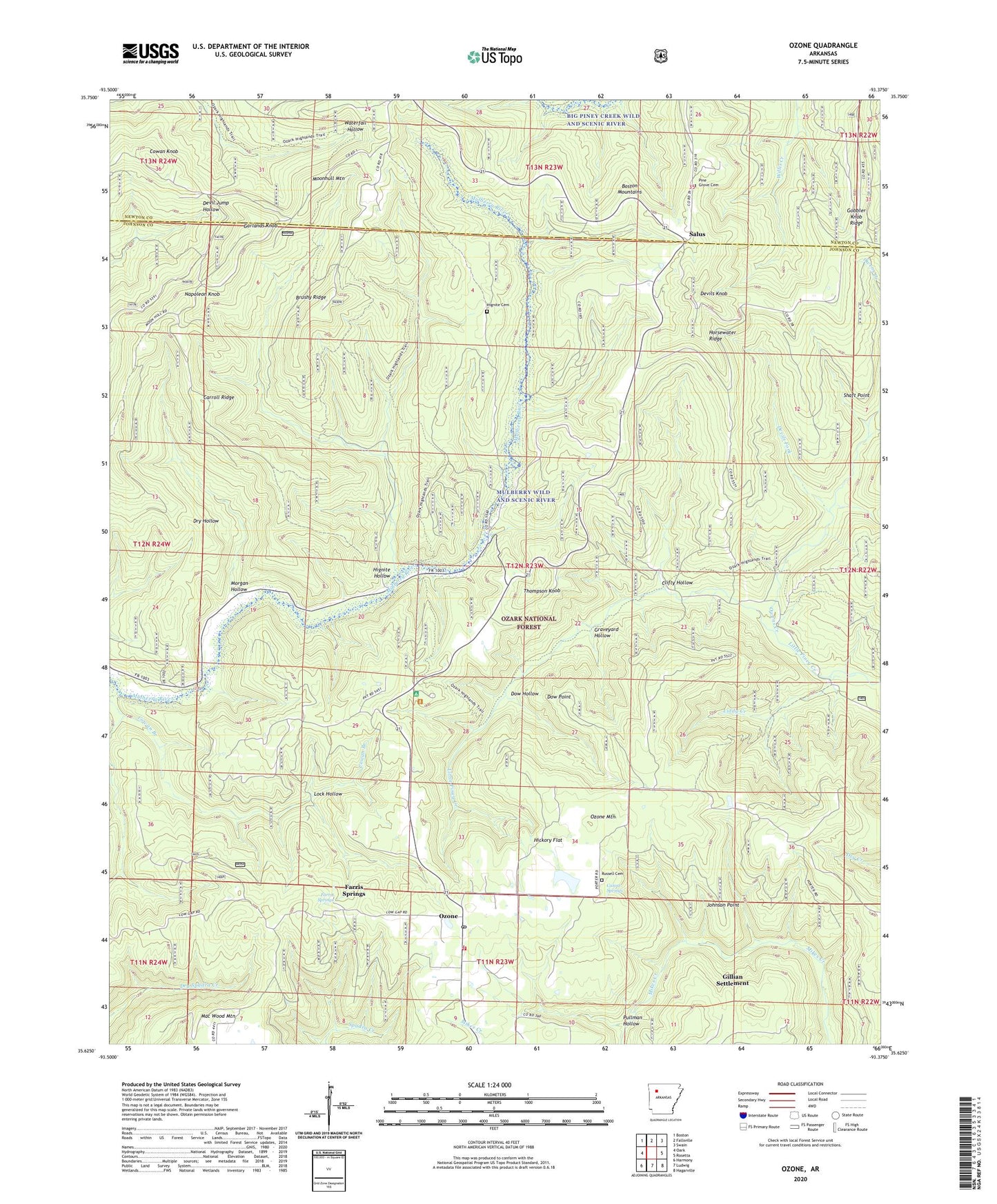
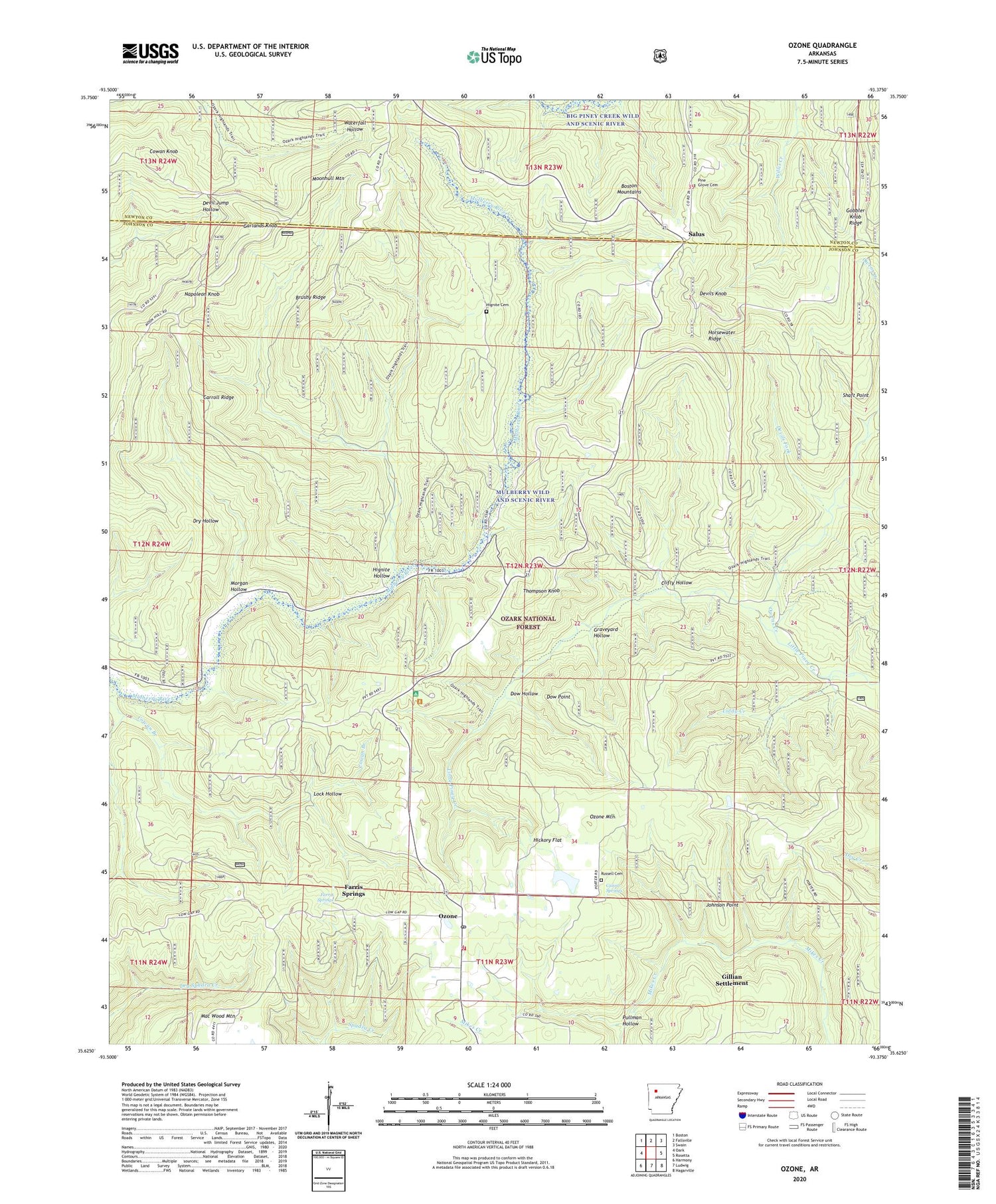
2024 topographic map quadrangle Ozone in the state of Arkansas. Scale: 1:24000. Based on the newly updated USGS 7.5' US Topo map series, this map is in the following counties: Johnson, Newton. The map contains contour data, water features, and other items you are used to seeing on USGS maps, but also has updated roads and other features. This is the next generation of topographic maps. Printed on high-quality waterproof paper with UV fade-resistant inks.
Quads adjacent to this one:
West: Oark
Northwest: Boston
North: Fallsville
Northeast: Swain
East: Rosetta
Southeast: Hagarville
South: Ludwig
Southwest: Harmony
This map covers the same area as the classic USGS quad with code o35093f4.
Contains the following named places: Boston Cutoff, Brushy Ridge, Carroll Ridge, Cazort Springs, Clifty Hollow, Cowan Knob, Devils Fork, Devils Knob, Devils Knob Lookout Tower, Dow Hollow, Dow Point, Farris Springs, Free Holiness Church, Garlands Knob, Gillian Settlement, Gobbler Knob Ridge, Graveyard Hollow, Hickory Flat, Hignite Cemetery, Hignite Hollow, Horsewater Ridge, Johnson County Rural Fire Department Station 6, Johnson Point, Lake Ozone, Lake Ozone Dam, Liddy Creek, Lock Hollow, Miracle Temple Church, Moonhull Mountain, Morgan Hollow, Mount Pleasant School, Mountain Hall School, Mulberry Grove School, Napoleon Knob, Oak Grove School, Owens Creek, Ozone, Ozone Baptist Church, Ozone Census Designated Place, Ozone Gas Field, Ozone Mountain, Ozone Post Office, Ozone Recreation Area, Peggy Steep Trail, Pine Crest Camp, Pine Grove Cemetery, Pullman Hollow, Russell Cemetery, Salus, Shaft Point, Thompson Knob, Township of Sherman, ZIP Code: 72854


