MyTopo
Redfield Arkansas US Topo Map
Couldn't load pickup availability
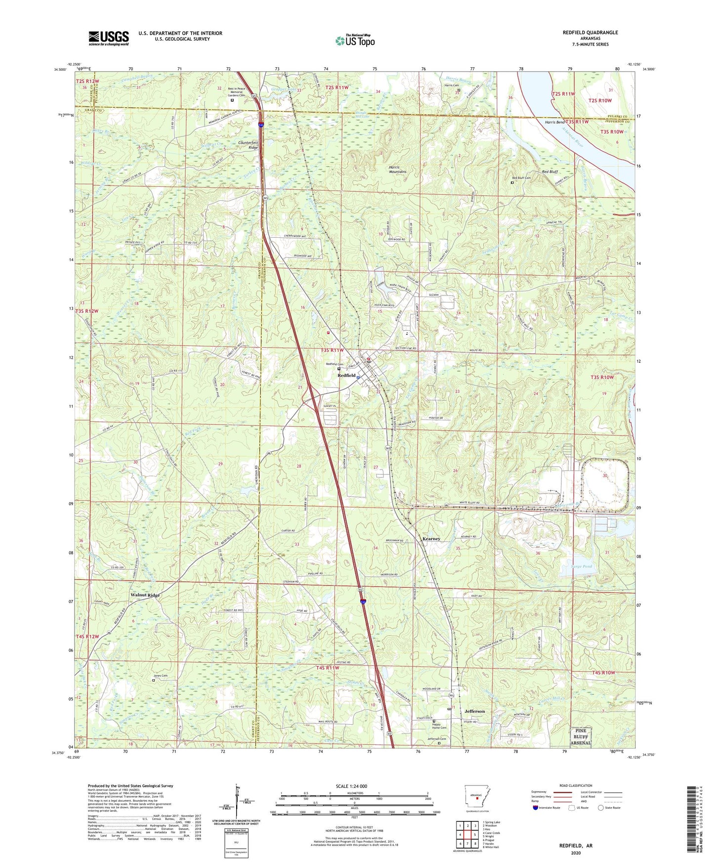
2024 topographic map quadrangle Redfield in the state of Arkansas. Scale: 1:24000. Based on the newly updated USGS 7.5' US Topo map series, this map is in the following counties: Jefferson, Grant, Pulaski, Saline. The map contains contour data, water features, and other items you are used to seeing on USGS maps, but also has updated roads and other features. This is the next generation of topographic maps. Printed on high-quality waterproof paper with UV fade-resistant inks.
Quads adjacent to this one:
West: Cane Creek
Northwest: Spring Lake
North: Woodson
Northeast: Keo
East: Wright
Southeast: White Hall
South: Hardin
Southwest: Prague
This map covers the same area as the classic USGS quad with code o34092d2.
Contains the following named places: Amber, Barnes Creek, Bradley Branch, Brush Creek, Case Creek, City of Redfield, Clean Water Holding Pond, Counterfeit Ridge, Dale Creek, Dike Number Two Dam, Dukes Branch, English Place, Garden Springs Church, Gropper Lake, Gropper Lake Dam, Happy Home Cemetery, Hardin Elementary School, Harris Cemetery, Harris Mountains, Horn Branch, Hyde Branch, Jefferson, Jefferson Cemetery, Jefferson Post Office, Jerning Branch, Jones Cemetery, KASN-TV (Pine Bluff), KATV-TV (Little Rock), Kearney, KETS-TV (Little Rock), KOLL-FM (Pine Bluff), Ledbetter Creek, Lou Creek, Orion Church, Patterson Branch, Red Bluff, Red Bluff Cemetery, Red Fork, Redfield, Redfield Cemetery, Redfield First Southern Baptist Church, Redfield Junior High School, Redfield Police Department, Redfield Post Office, Redfield Volunteer Fire Department Station 1, Redfield Volunteer Fire Department Station 2, Rest in Peace Memorial Gardens Cemetery, Rinehart Creek, River Road Church, Schoolhouse Creek, Shingle Mill Lake, Silva School, Smith Creek, Stokes Creek, Surge Pond, Surge Pond Dam, Township of Barraque, Turkey Creek, Walnut Ridge, Ward Branch, Weaver Creek, White Bluff Power Plant, Wildcat Creek, ZIP Codes: 72079, 72132


