MyTopo
Reed Mountain Arkansas US Topo Map
Couldn't load pickup availability
Also explore the Reed Mountain Forest Service Topo of this same quad for updated USFS data
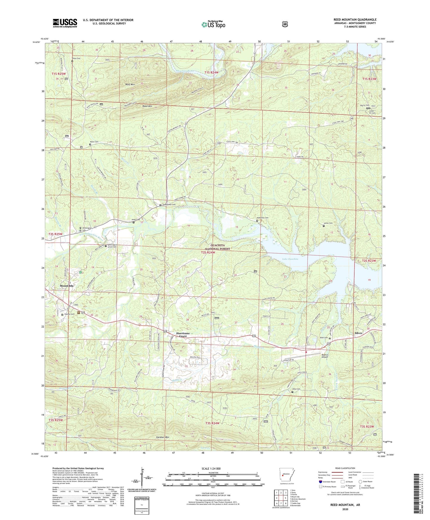
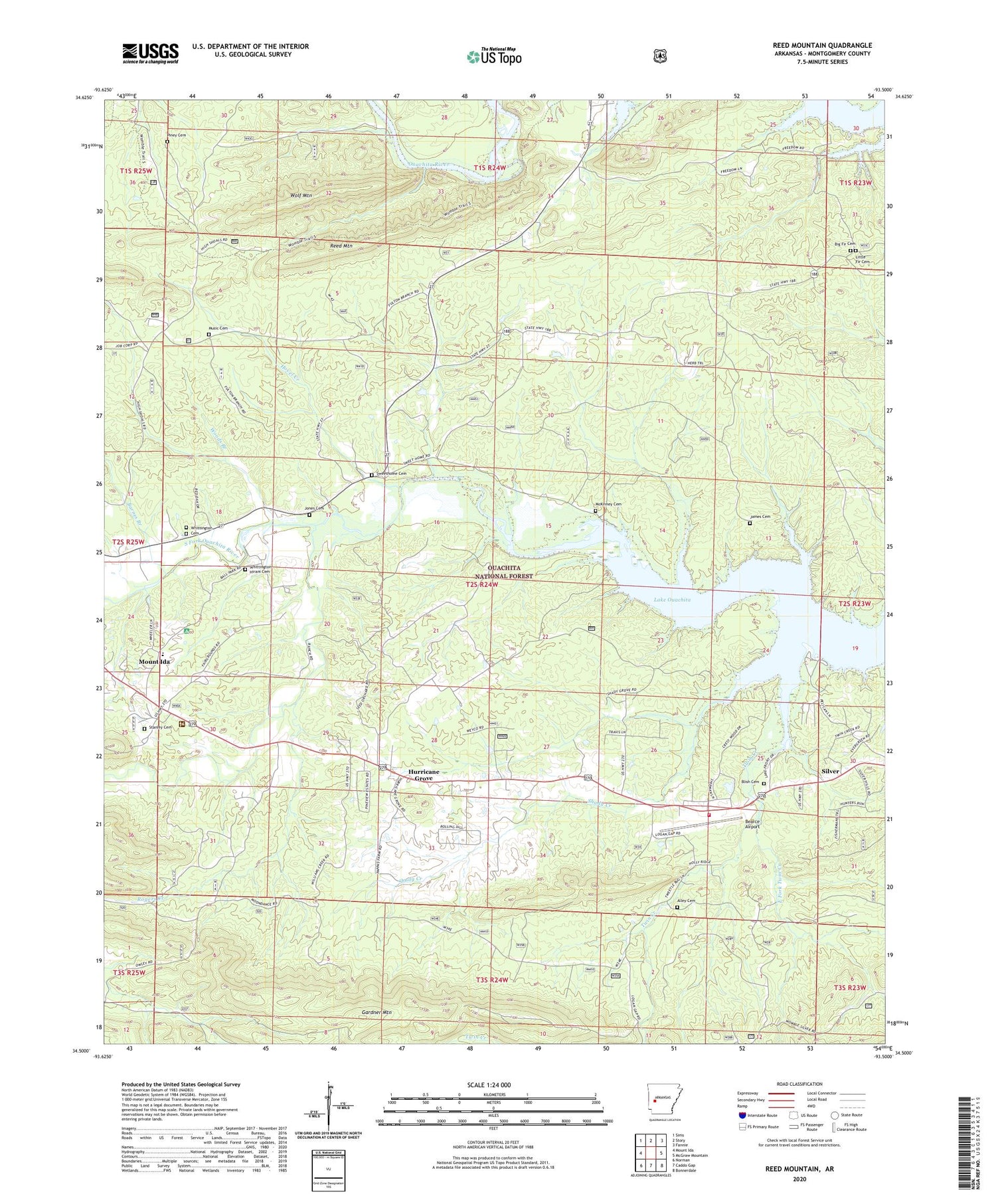
2024 topographic map quadrangle Reed Mountain in the state of Arkansas. Scale: 1:24000. Based on the newly updated USGS 7.5' US Topo map series, this map is in the following counties: Montgomery. The map contains contour data, water features, and other items you are used to seeing on USGS maps, but also has updated roads and other features. This is the next generation of topographic maps. Printed on high-quality waterproof paper with UV fade-resistant inks.
Quads adjacent to this one:
West: Mount Ida
Northwest: Sims
North: Story
Northeast: Fannie
East: McGraw Mountain
Southeast: Bonnerdale
South: Caddo Gap
Southwest: Norman
This map covers the same area as the classic USGS quad with code o34093e5.
Contains the following named places: All Saints Catholic Church, Alley Cemetery, Barnes Branch, Bearce Airport, Big Fir Cemetery, Big Fir School, Blish Cemetery, Blue Bell School, Buddys Landing, East Fork Twin Creek, Elnora School, Gardner Mountain, Hovel Creek, Hurricane Grove, Hurricane Grove Primitive Baptist Church, Hurricane Grove School, James Cemetery, Jones Cemetery, Lake Ouachita Baptist Church, Little Fir Cemetery, McKinney Cemetery, Mount Ida Elementary School, Music Cemetery, Ouachita Seed Orchard, Piney Cemetery, Piney Grove School, Reed Mountain, Rogers Creek, Rubie, Ruble, Shady Creek, Shady Grove School, Silver, South Fork Center Rural Fire Department, South Fork Ouachita River, Stanley Cemetery, Sweet Home School, Sweethome, Sweethome Cemetery, Sweethome Church, Township of Center, Township of Mount Ida, Twin Creek, Twin Creek Recreation Site, Twin Creek Use Area, Washita Missionary Baptist Church, Whittington Cemetery, Whittington-Hiram Cemetery, Wolf Mountain, Womble Ranger Station, Womble Work Center, Woods Branch, Woodville School, ZIP Code: 71957