MyTopo
Sitka Arkansas US Topo Map
Couldn't load pickup availability
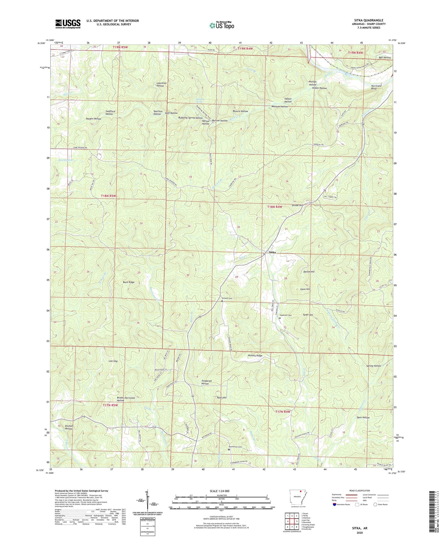
2024 topographic map quadrangle Sitka in the state of Arkansas. Scale: 1:24000. Based on the newly updated USGS 7.5' US Topo map series, this map is in the following counties: Sharp. The map contains contour data, water features, and other items you are used to seeing on USGS maps, but also has updated roads and other features. This is the next generation of topographic maps. Printed on high-quality waterproof paper with UV fade-resistant inks.
Quads adjacent to this one:
West: Ash Flat
Northwest: Stuart
North: Hardy
Northeast: Williford
East: Ravenden
Southeast: Smithville
South: Poughkeepsie
Southwest: Evening Shade
This map covers the same area as the classic USGS quad with code o36091b4.
Contains the following named places: Bettis Church, Bubbling Spring, Bubbling Spring Hollow, Buchannan Cemetery, Buck Ridge, Burrow Hollow, Cat Branch, Dark Hollow, Denim Hill, Divide Hill, Gann Hill, Goff Hollow, Hickory Ridge, Hinkle Hollow, Hopewell Cemetery, Howard Branch, Hurricane Bluff, Kitchen Hollow, Lawrence Hollow, Long Branch, Low Gap, Markum Hollow, Muncie Hollow, Norton Hollow, Osburn Creek, Phillips Hollow, Pleasant Ridge Church, Rock Creek, Saffell Hollow, Schales Cemetery, Sharp County, Sitka, Spring Hollow, Spurlock Hollow, Swafford Hollow, Tater Hill, Timbered Hollow, Township of Davidson, Township of Jackson, Township of Lebanon, Township of North Lebanon, Township of South Lebanon, Tyner Hill, Vaughn Hollow, West Prong Osburn Creek, ZIP Code: 72569