MyTopo
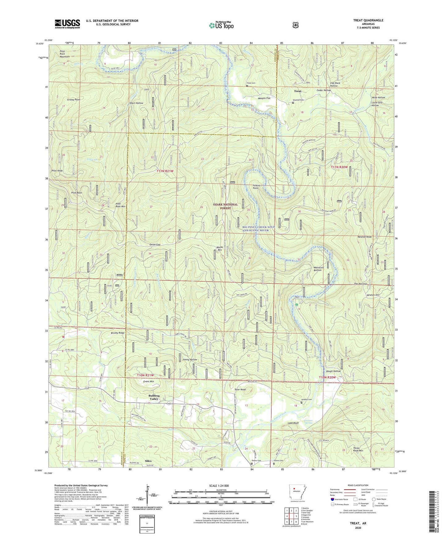
Treat Arkansas US Topo Map
Couldn't load pickup availability
Also explore the Treat Forest Service Topo of this same quad for updated USFS data
2024 topographic map quadrangle Treat in the state of Arkansas. Scale: 1:24000. Based on the newly updated USGS 7.5' US Topo map series, this map is in the following counties: Pope, Johnson. The map contains contour data, water features, and other items you are used to seeing on USGS maps, but also has updated roads and other features. This is the next generation of topographic maps. Printed on high-quality waterproof paper with UV fade-resistant inks.
Quads adjacent to this one:
West: Hagarville
Northwest: Rosetta
North: Fort Douglas
Northeast: Sand Gap
East: Simpson
Southeast: Dover
South: Lee Mountain
Southwest: Knoxville
This map covers the same area as the classic USGS quad with code o35093e2.
Contains the following named places: Big Sawyer Creek, Bradley Cemetery, Brushy Ridge, Bullfrog Valley, Cedar Hollow, Dry Branch, Evans Mountain, Felkins Point, Flat Rock Hollow, Gospel Lighthouse Church, Grassy Point, Grassy Point Trail, Graves Creek, Grimmet Springs, Hole Creek, Howard Church, Howard School, Indian Creek, Jakes Creek, Jimmy Hollow, Johnson County Rural Fire Department Station 3 Substation, Ladd Bluff, Ladd School, Levi Branch, Little Sawyer Creek, Little Still Hollow, Long Pool Recreation Area, Maupin Flat, Mill Creek, Mine Hollow, Moccasin Creek, Newton Hill, Newton Knob, Onion Gap, Owens Cemetery, Pilot Rock, Pilot Rock Mountain, Ross School, Rough Hollow, Shannon Cemetery, Short Hollow, Silex, Silex Gas Field, Spring Creek, Tater Knob, The Narrows, Township of Allen, Trace Creek, Treat, Treat Cemetery, Wainscott Bottom, Wainscott Bottoms Waldo Mountain Special Interest Area, Waldo Mountain