MyTopo
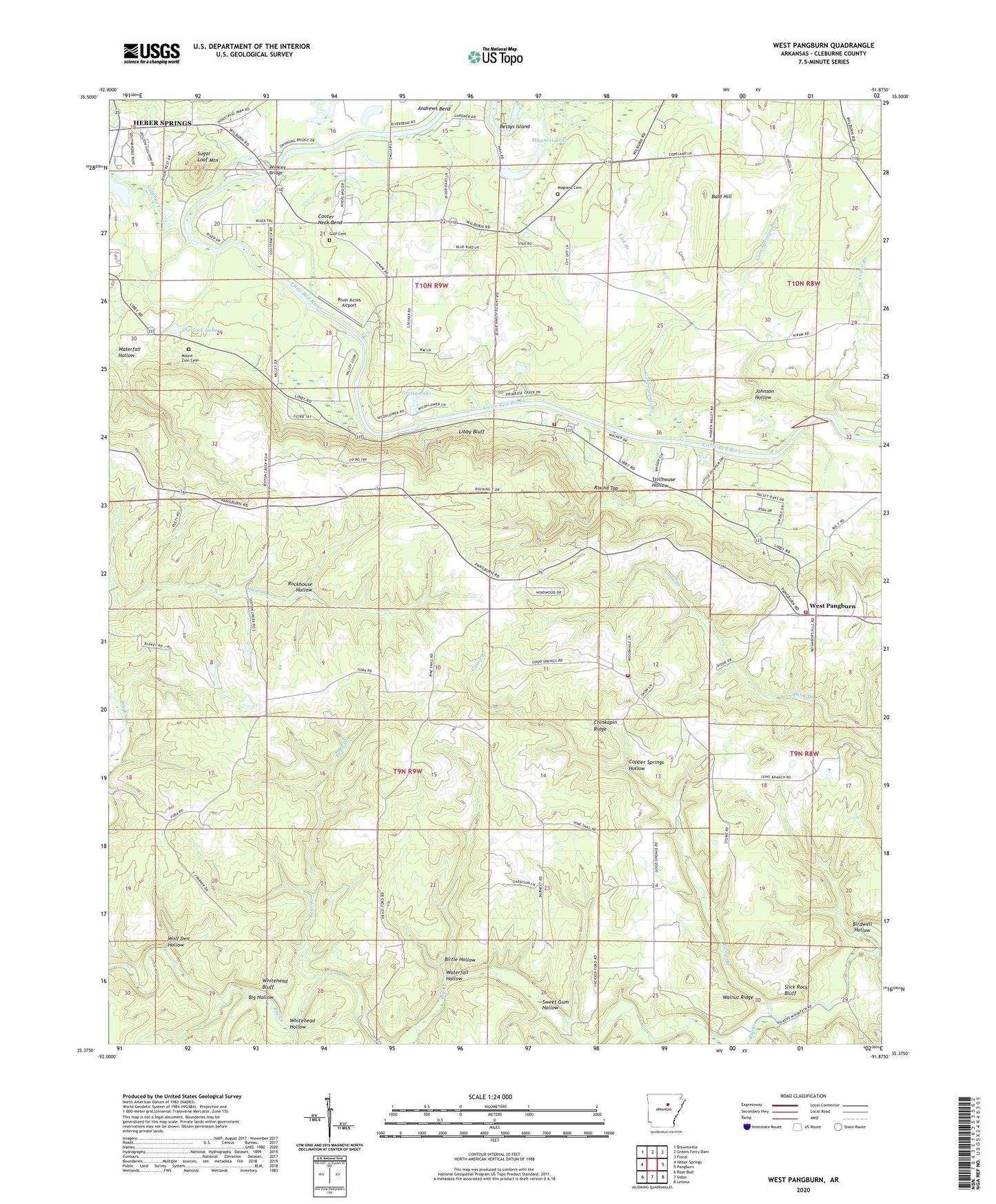
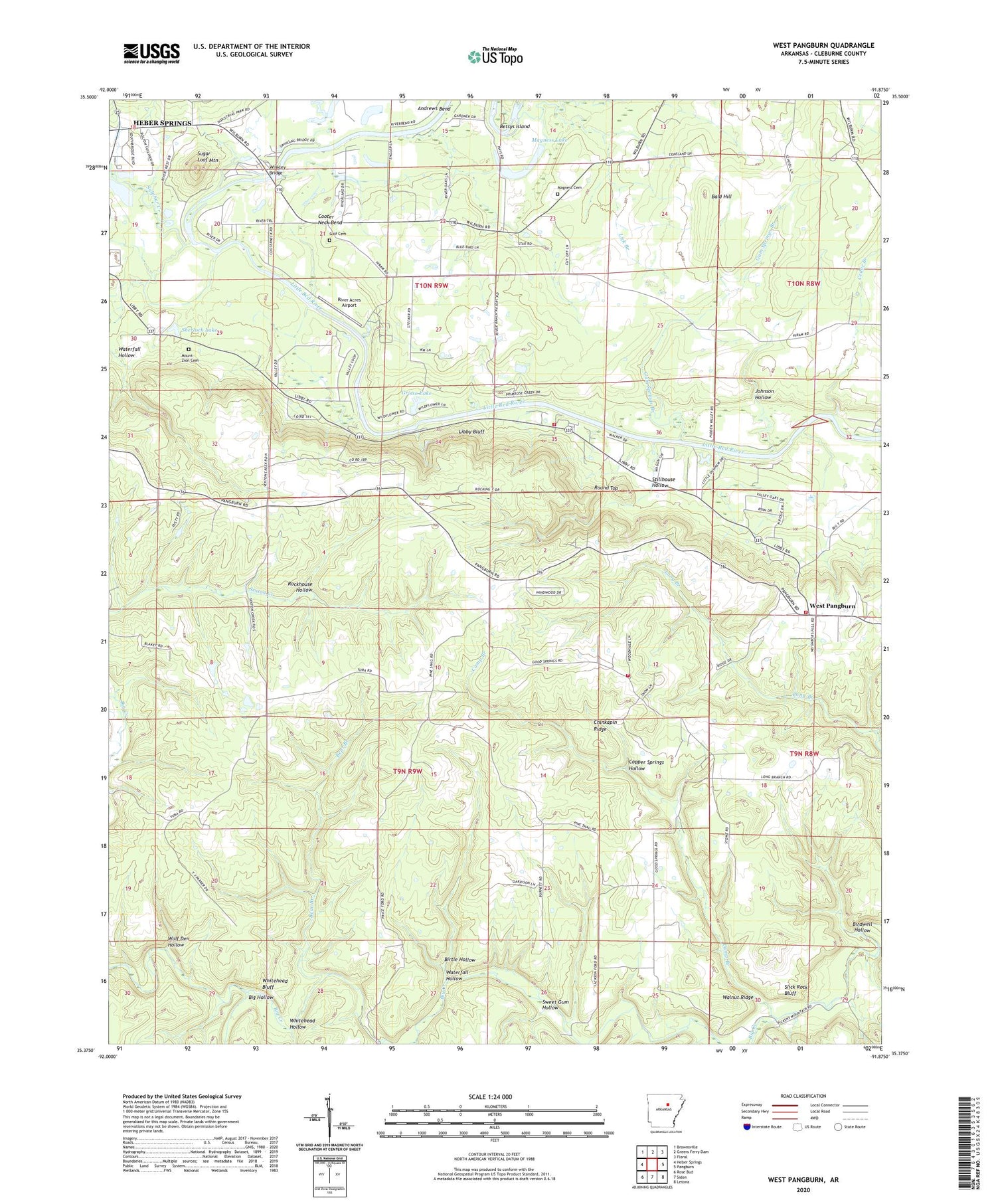
West Pangburn Arkansas US Topo Map
Couldn't load pickup availability
2024 topographic map quadrangle West Pangburn in the state of Arkansas. Scale: 1:24000. Based on the newly updated USGS 7.5' US Topo map series, this map is in the following counties: Cleburne. The map contains contour data, water features, and other items you are used to seeing on USGS maps, but also has updated roads and other features. This is the next generation of topographic maps. Printed on high-quality waterproof paper with UV fade-resistant inks.
Quads adjacent to this one:
West: Heber Springs
Northwest: Brownsville
North: Greers Ferry Dam
Northeast: Floral
East: Pangburn
Southeast: Letona
South: Sidon
Southwest: Rose Bud
This map covers the same area as the classic USGS quad with code o35091d8.
Contains the following named places: Andrews Bend, Bald Hill, Bear Branch, Betsys Island, Big Hollow, Birdwell Hollow, Birtle Hollow, Camp Branch, Cedar Branch, Center Ridge, Center Ridge Baptist Church, Center Ridge School, Chaney Branch, Chinkapin Ridge, Cooter Neck Bend, Copper Springs Hollow, Golf Cemetery, Good Springs Baptist Church, Grisso Lake, Grisso Lake Dam, Gum Springs Branch, Helms Ford, Jackson Ford, Johnson Hollow, KWCK-FM (Searcy), Libby, Libby Bluff, Libby Quarry, Lick Branch, Lobo Landing, Magness Cemetery, Magness Lake, Mill Branch, Mount Zion Cemetery, Philips Mill Branch, Pine Snag Volunteer Fire Department Main Station, Pine Snag Volunteer Fire Department Station 2, Pine Snag Volunteer Fire Department Station 3, Pleasant Valley Missionary Baptist Church, Price Ford, River Acres Airport, Rockhouse Hollow, Round Top, Sherlock Lake, Sherlock Lake Dam, Slick Rock Bluff, Slick Rock Ford, Snell, Snell School, Stillhouse Hollow, Sugar Loaf Church, Sugar Loaf Mountain, Sulphur Creek, Sulphur Spring Branch, Sweet Gum Hollow, Township of Mountain, Township of Pickens, Township of Sugar Loaf, Turneys Ferry, Walnut Ridge, Waterfall Hollow, West Pangburn, West Pangburn Union Church, Whitehead Bluff, Whitehead Ford, Whitehead Hollow, Winkley Bridge, Wolf Den Hollow, ZIP Code: 72543


