MyTopo
Wirth Arkansas US Topo Map
Couldn't load pickup availability
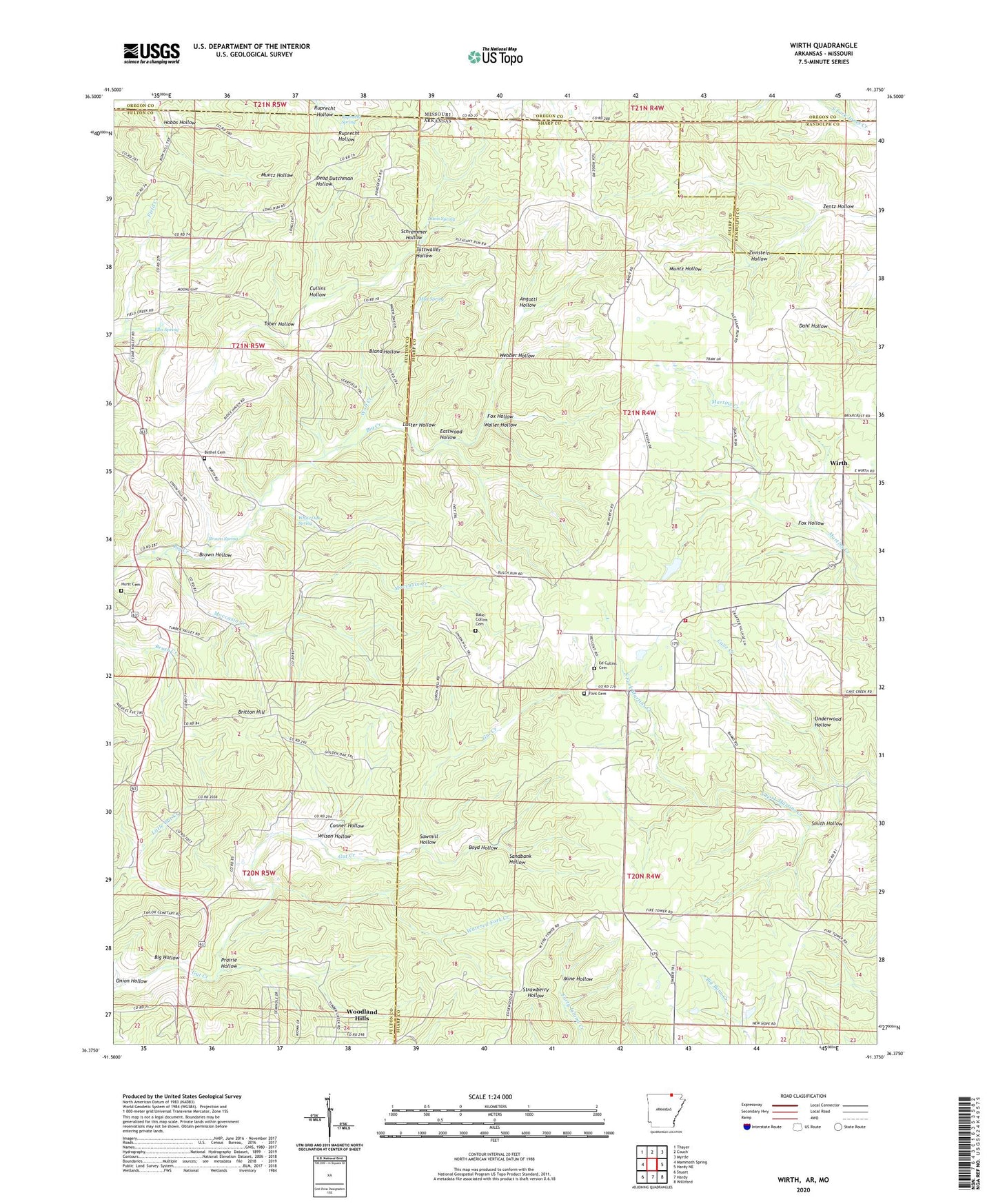
2024 topographic map quadrangle Wirth in the states of Arkansas, Missouri. Scale: 1:24000. Based on the newly updated USGS 7.5' US Topo map series, this map is in the following counties: Sharp, Fulton, Randolph, Oregon. The map contains contour data, water features, and other items you are used to seeing on USGS maps, but also has updated roads and other features. This is the next generation of topographic maps. Printed on high-quality waterproof paper with UV fade-resistant inks.
Quads adjacent to this one:
West: Mammoth Spring
Northwest: Thayer
North: Couch
Northeast: Myrtle
East: Hardy NE
Southeast: Williford
South: Hardy
Southwest: Stuart
Contains the following named places: Angotti Hollow, Babe Collins Cemetery, Bethel Cemetery, Big Hollow, Bland Hollow, Boyd Hollow, Britton Hill, Brown Hollow, Brown Spring, Cave Creek, Conner Hollow, Cullins Hollow, Davis Spring, Eastwood Hollow, Ed Collins Cemetery, Ellis Spring, Field Creek Church, Flint Cemetery, Fox Hollow, Hanns Church, Hobbs Hollow, Hurst Cemetery, Luster Hollow, Mennonite School, Mine Hollow, Moccasin Creek, Mud Spring, New Hope Church, Onion Hollow, Pleasant Ridge Church, Prairie Hollow, Ruprecht Hollow, Ruprecht Spring, Sandbank Hollow, Sawmill Hollow, Schremmer Hollow, Smith Hollow, Tober Hollow, Township of Lower North, Township of North, Township of Upper North, Tuttwaller Hollow, Underwood Hollow, Union Hill Church, Waller Hollow, Watered Fork Creek, Webber Hollow, White Oak Spring, Wilson Hollow, Wirth, Wirth Volunteer Fire Department, Wolf Creek, Woodland Hills, Zentz Hollow, Zirnstein Hollow


