MyTopo
Thayer Missouri US Topo Map
Couldn't load pickup availability
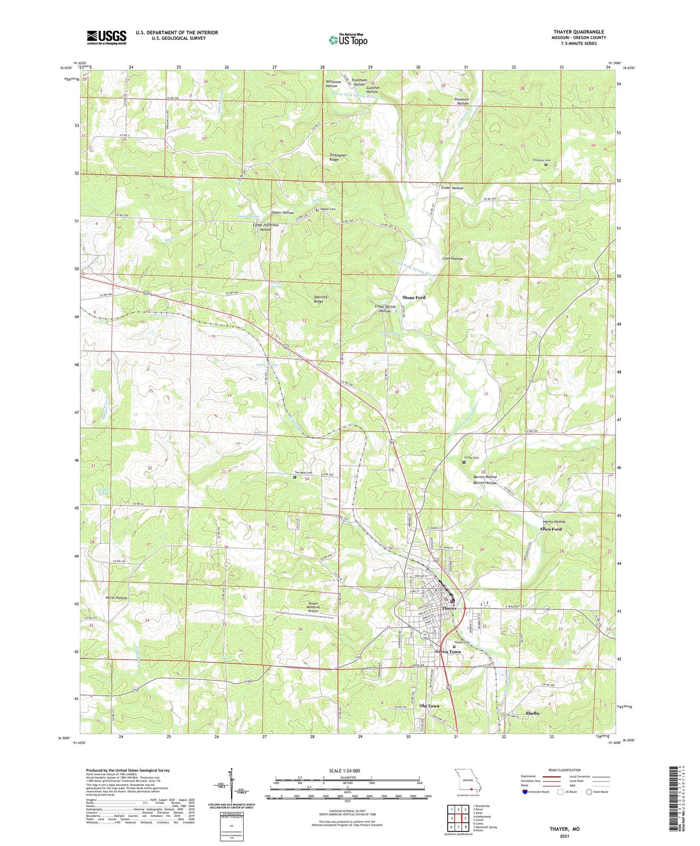
2021 topographic map quadrangle Thayer in the state of Missouri. Scale: 1:24000. Based on the newly updated USGS 7.5' US Topo map series, this map is in the following counties: Oregon. The map contains contour data, water features, and other items you are used to seeing on USGS maps, but also has updated roads and other features. This is the next generation of topographic maps. Printed on high-quality waterproof paper with UV fade-resistant inks.
Quads adjacent to this one:
West: Koshkonong
Northwest: Brandsville
North: Rover
Northeast: Alton
East: Couch
Southeast: Wirth
South: Mammoth Spring
Southwest: Camp
This map covers the same area as the classic USGS quad with code o36091e5.
Contains the following named places: Allen Ford, American, Anthony Branch, Barren Hollow, Batman Spring, Bay Creek, Camp Jefferson Hollow, Cave Hollow, Cedar Hollow, Childers Spring, Childress Cemetery, City of Thayer, Clifton, Clifton Cemetery, Clifton School, Cox Creek, Crazy Spring Hollow, Deerlick Ridge, Goodwin Hollow, Green Town, Gunther Hollow, Heimer Spring, Hellberg Spring, Helms Hollow, Hurst Hollow, KALM-AM (Thayer), Kings Point School, Mill Stone Branch, Millstone Hollow, Old Town, Pleasant Ridge School, Shelby, Shephard Church, Slater Hollow, Sloan Ford, Spout Spring, Stony Point Church, Stony Point School, Thayer, Thayer Fire Department, Thayer Memorial Airport, Thayer Police Department, Thayer Post Office, Township of Big Apple, Township of Thayer, Trantham Hollow, Turkeypen Ridge, Twomile Church, Twomile Creek, Twomile School, Union Point School, Walker Cemetery, Walker Church, Wiggs Ford, Wiser Church