MyTopo
Woodberry Arkansas US Topo Map
Couldn't load pickup availability
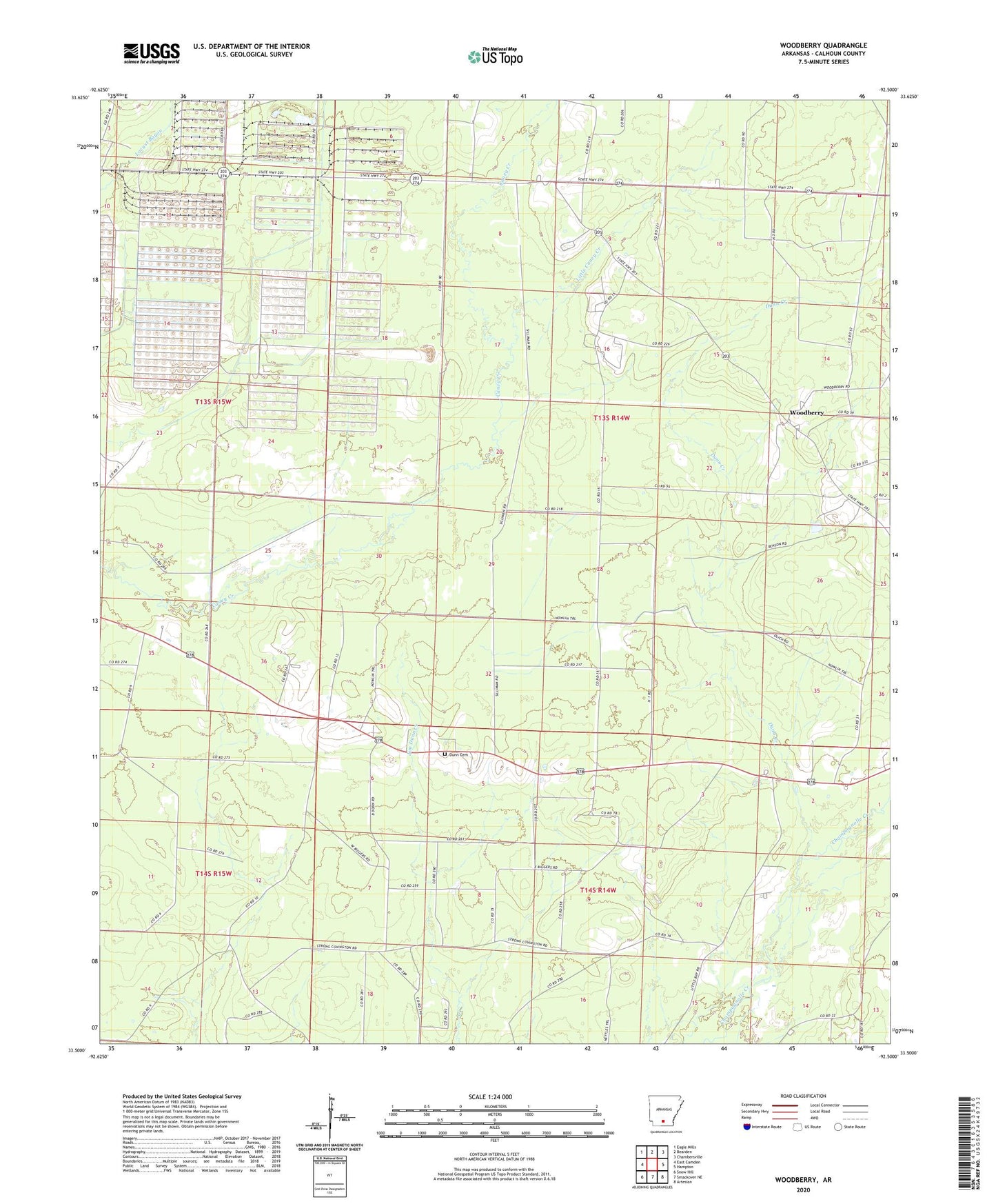
2024 topographic map quadrangle Woodberry in the state of Arkansas. Scale: 1:24000. Based on the newly updated USGS 7.5' US Topo map series, this map is in the following counties: Calhoun. The map contains contour data, water features, and other items you are used to seeing on USGS maps, but also has updated roads and other features. This is the next generation of topographic maps. Printed on high-quality waterproof paper with UV fade-resistant inks.
Quads adjacent to this one:
West: East Camden
Northwest: Eagle Mills
North: Bearden
Northeast: Chambersville
East: Hampton
Southeast: Artesian
South: Smackover NE
Southwest: Snow Hill
This map covers the same area as the classic USGS quad with code o33092e5.
Contains the following named places: Calhoun County, Caney Creek Volunteer Fire Department, Dunn Cemetery, Dunn Creek, Faustina Church, KKOL-FM (Hampton), Little Caney Creek, New Hope Church, Smead, Township 7, Township of Polk, Woodberry