MyTopo
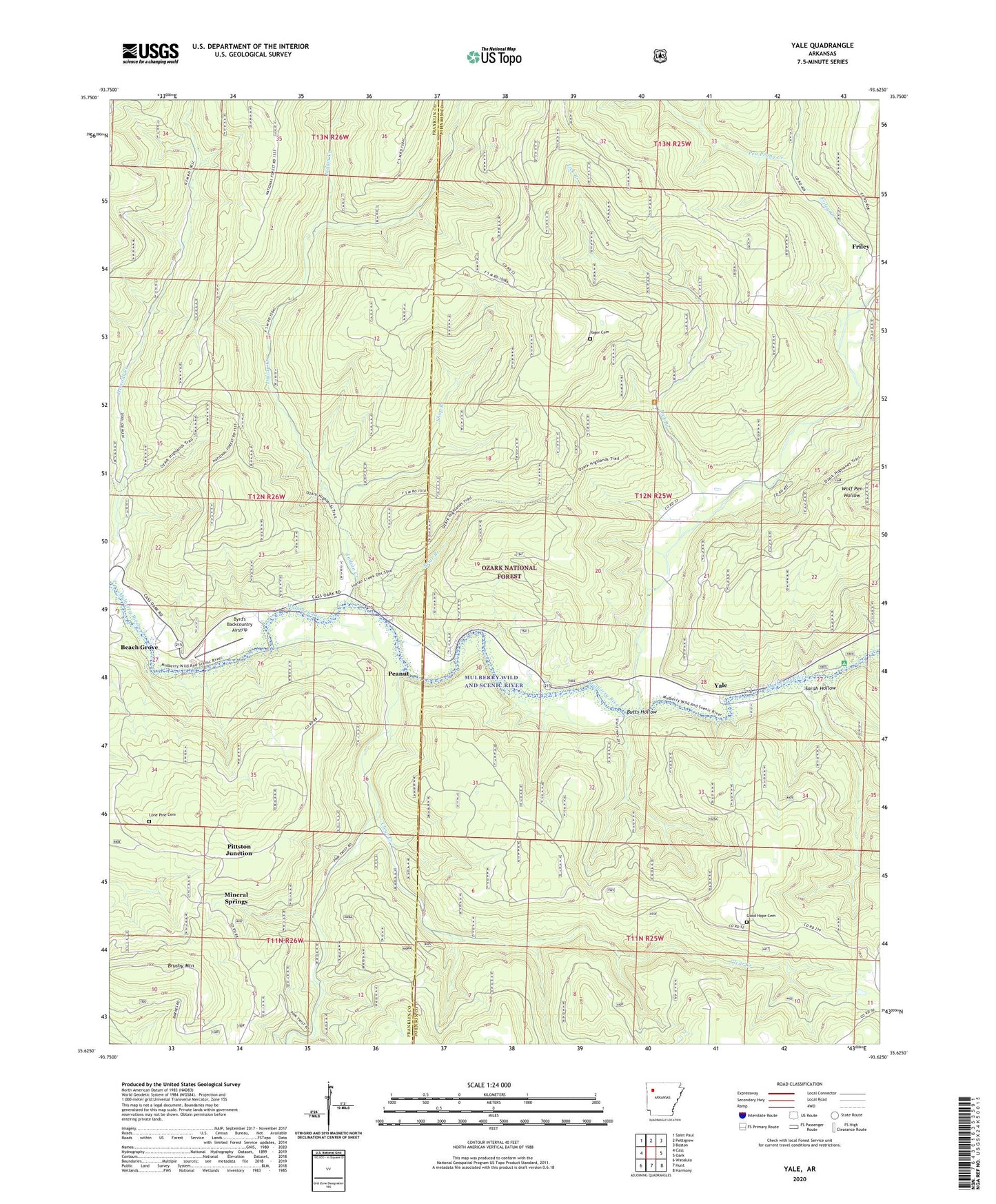
Yale Arkansas US Topo Map
Couldn't load pickup availability
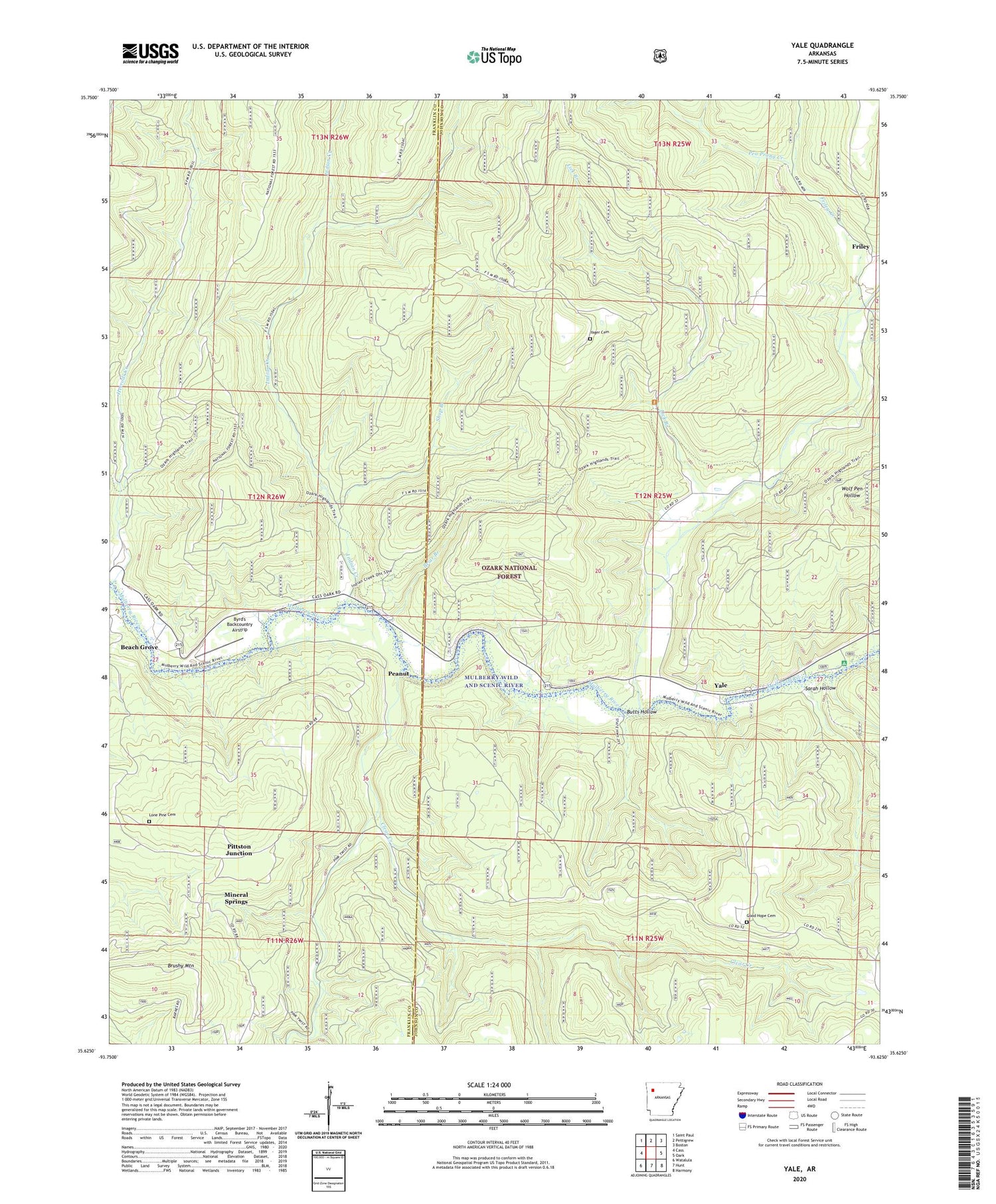
Also explore the Yale Forest Service Topo of this same quad for updated USFS data
2024 topographic map quadrangle Yale in the state of Arkansas. Scale: 1:24000. Based on the newly updated USGS 7.5' US Topo map series, this map is in the following counties: Johnson, Franklin. The map contains contour data, water features, and other items you are used to seeing on USGS maps, but also has updated roads and other features. This is the next generation of topographic maps. Printed on high-quality waterproof paper with UV fade-resistant inks.
Quads adjacent to this one:
West: Cass
Northwest: Saint Paul
North: Pettigrew
Northeast: Boston
East: Oark
Southeast: Harmony
South: Hunt
Southwest: Watalula
This map covers the same area as the classic USGS quad with code o35093f6.
Contains the following named places: Batson Baptist Church, Beach Grove, Briar Branch, Brushy Mountain, Butts Hollow, Byrd's Backcountry Airstrip, Clear Creek, Friley, Friley Creek, Good Hope Cemetery, Herrods Creek, Indian Creek, Lick Branch, Little Mulberry Creek, Lone Pine Cemetery, Mineral Springs, Mulberry Wild and Scenic River, Pea Prong Creek, Peanut, Pittston Junction, Sarah Hollow, Shop Branch, Township of Cobb, Township of Dickerson, Township of Limestone, Wolf Pen Recreation Area, Yager Cemetery, Yale