MyTopo
Bartlett Springs California US Topo Map
Couldn't load pickup availability
Also explore the Bartlett Springs Forest Service Topo of this same quad for updated USFS data
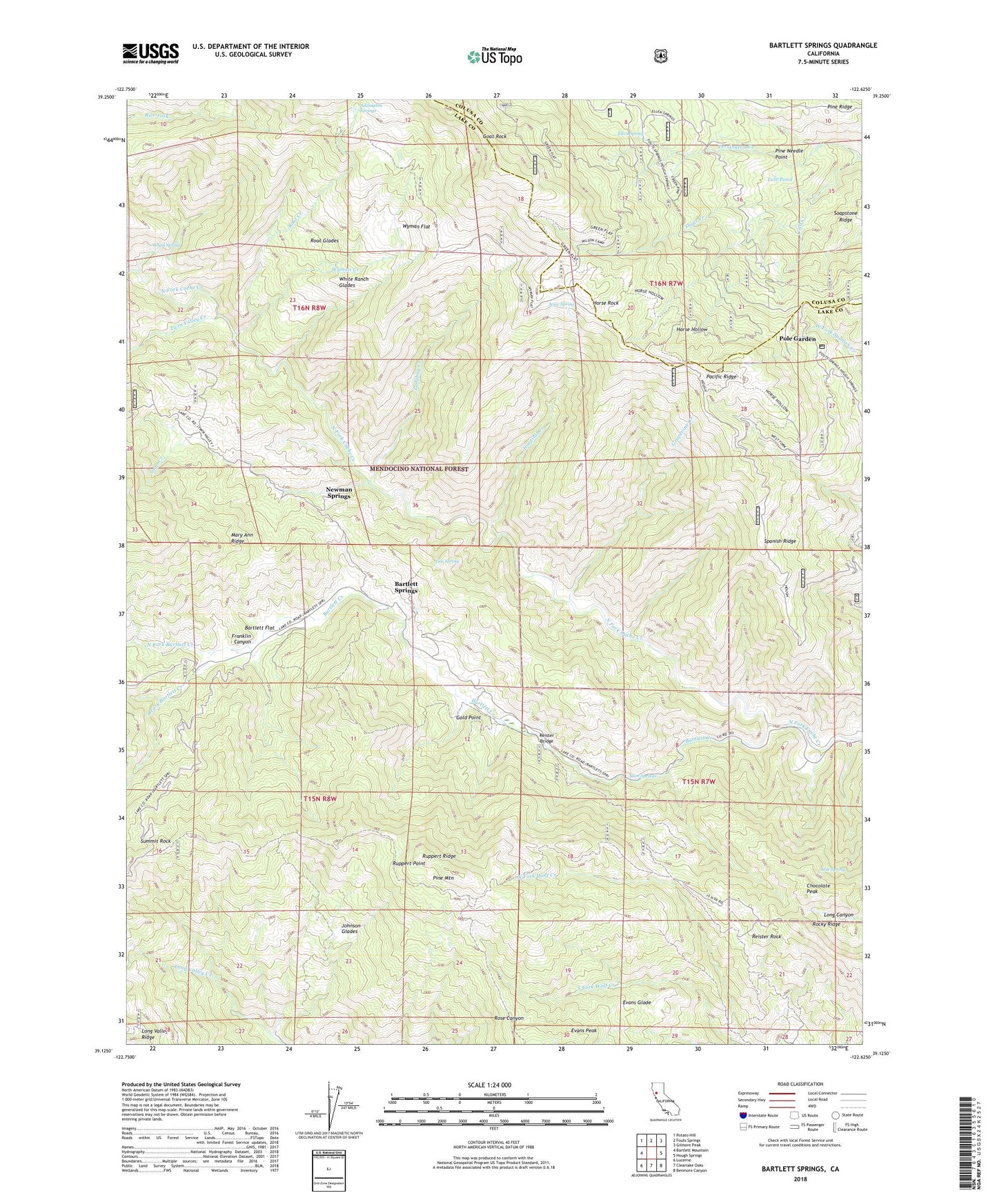
2022 topographic map quadrangle Bartlett Springs in the state of California. Scale: 1:24000. Based on the newly updated USGS 7.5' US Topo map series, this map is in the following counties: Lake, Colusa. The map contains contour data, water features, and other items you are used to seeing on USGS maps, but also has updated roads and other features. This is the next generation of topographic maps. Printed on high-quality waterproof paper with UV fade-resistant inks.
Quads adjacent to this one:
West: Bartlett Mountain
Northwest: Potato Hill
North: Fouts Springs
Northeast: Gilmore Peak
East: Hough Springs
Southeast: Benmore Canyon
South: Clearlake Oaks
Southwest: Lucerne
This map covers the same area as the classic USGS quad with code o39122b6.
Contains the following named places: Able Spring, Addington Springs, Allen Springs, Bartlett Creek, Bartlett Flat, Bartlett Flat Forest Service Facility, Bartlett Springs, Chocolate Peak, Cold Creek, Ellen Spring, Evans Glade, Franklin Canyon, Gas Spring, Goat Rock, Gold Point, Grapevine Creek, Green Flat Camp, Hanks Camp, Horse Hollow, Horse Rock, Hospital Creek, Jesse Spring, Johnson Glades, Ladybug Creek, Love Lady Ranch, Lucerne-Clearlake Oaks Division, Newman Springs, North Fork Bartlett Creek, North Fork Wolf Creek, Pacific Ridge, Pacific Ridge Forest Service Station, Perrington Creek, Pine Mountain, Pine Needle Point, Pole Garden, Reister Bridge, Reister Rock, Root Creek, Root Glades, Royal Spring, Ruppert Point, Ruppert Ridge, Soap Creek, Soapstone Ridge, South Fork Bartlett Creek, South Fork Wolf Creek, Spanish Ridge, Summit Rock, Tule Pond, Twin Valley Creek, White Ranch Glades, Wilson Camp, Wilson Recreation Site, Wyman Creek, Wyman Flat, ZIP Code: 95458