MyTopo
Clearlake Oaks California US Topo Map
Couldn't load pickup availability
Also explore the Clearlake Oaks Forest Service Topo of this same quad for updated USFS data
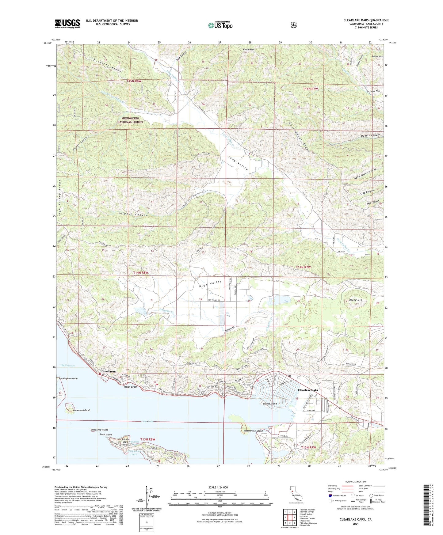
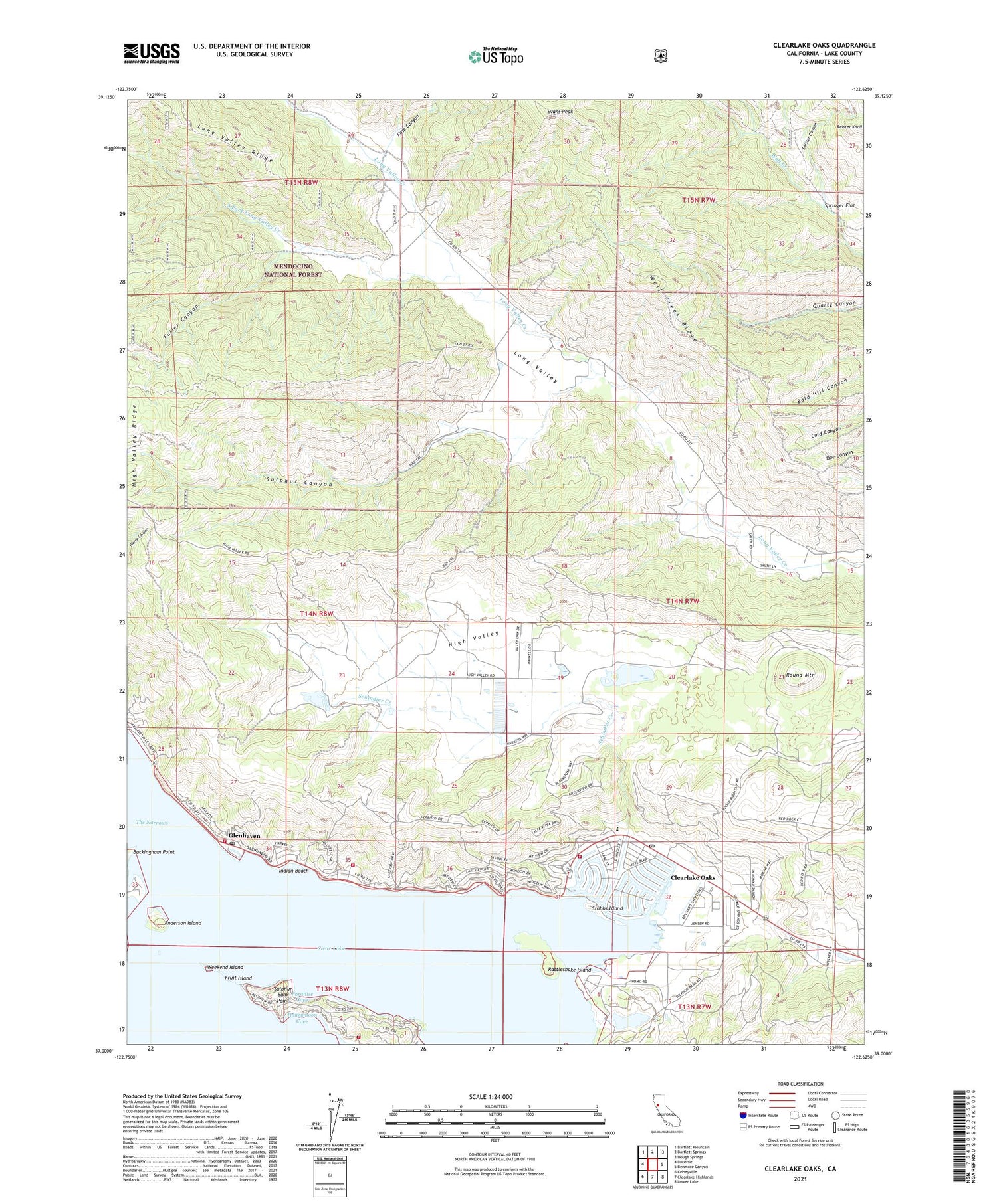
2021 topographic map quadrangle Clearlake Oaks in the state of California. Scale: 1:24000. Based on the newly updated USGS 7.5' US Topo map series, this map is in the following counties: Lake. The map contains contour data, water features, and other items you are used to seeing on USGS maps, but also has updated roads and other features. This is the next generation of topographic maps. Printed on high-quality waterproof paper with UV fade-resistant inks.
Quads adjacent to this one:
West: Lucerne
Northwest: Bartlett Mountain
North: Bartlett Springs
Northeast: Hough Springs
East: Benmore Canyon
Southeast: Lower Lake
South: Clearlake Highlands
Southwest: Kelseyville
This map covers the same area as the classic USGS quad with code o39122a6.
Contains the following named places: Anderson Island, Buckingham Point, Butler Ranch, California Department of Forestry and Fire Protection Clearlake Oaks Station, Clear Lake Keys, Clear Lake Quarry, Clearlake Oaks, Clearlake Oaks Census Designated Place, Clearlake Oaks Post Office, East Lake Elementary School, Eastlake, Evans Peak, Fruit Island, Fuller Canyon, Garner Ranch, Glenhaven, Glenhaven Post Office, High Valley, Honeymoon Cove, Indian Beach, Kennedy Ranch, Lakeshore Fire Protection Fire Station 73, Northshore Fire Protection District Station 75 Clearlake Oaks, Northshore Fire Protection District Station 76 Glenhaven, Paradise Cove, Pluth Ranch, Rattlesnake Island, Reister Canyon, Reister Knoll, Rose Canyon, Round Mountain, Saint Anthonys Catholic Church, Schindler Creek, Schindler Ranch, Shaw Ranch, South Fork Long Valley Creek, Springer Flat, Stubbs Island, Sulphur Bank Mine, Sulphur Bank Point, Sulphur Bank Rancheria, Sulphur Canyon, Weekend Island, Wolf Creek Ridge, ZIP Code: 95423


