MyTopo
Benmore Canyon California US Topo Map
Couldn't load pickup availability
Also explore the Benmore Canyon Forest Service Topo of this same quad for updated USFS data
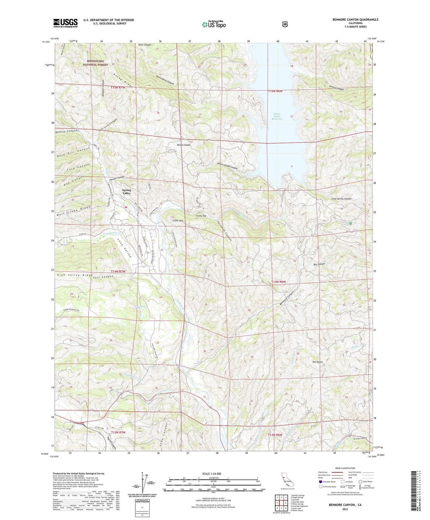
2021 topographic map quadrangle Benmore Canyon in the state of California. Scale: 1:24000. Based on the newly updated USGS 7.5' US Topo map series, this map is in the following counties: Lake, Colusa. The map contains contour data, water features, and other items you are used to seeing on USGS maps, but also has updated roads and other features. This is the next generation of topographic maps. Printed on high-quality waterproof paper with UV fade-resistant inks.
Quads adjacent to this one:
West: Clearlake Oaks
Northwest: Bartlett Springs
North: Hough Springs
Northeast: Leesville
East: Wilbur Springs
Southeast: Wilson Valley
South: Lower Lake
Southwest: Clearlake Highlands
This map covers the same area as the classic USGS quad with code o39122a5.
Contains the following named places: Bald Hill Canyon, Benmore Canyon, Blodgett Canyon, Blue Oak Recreation Site, Box Canyon, Cache Creek Rancheria, Chalk Mountain, Cold Canyon, Cold Spring Canyon, Cross Spring, Doe Canyon, Dow Ranch, Hog Hollow Creek, Indian Valley 1080-002 Dam, Indian Valley Reservoir, Kattenburg Canyon, Kilpepper Creek, Kowalski Spring Recreation Site, Little Indian Valley, Long Valley, Long Valley Creek, Northshore Fire Protection District Station 77 Spring Valley, Panther Canyon, Paradise Canyon, Quartz Canyon, Red Rocks, Salt Canyon, Salt Lick Canyon, Spring Valley 396 Dam, Spring Valley Census Designated Place, Stony Top, Sulphur Spring, Sweet Hollow Creek, Wilson Glade, Wilson Glade Canyon, Wolf Creek, Zimory Canyon