MyTopo
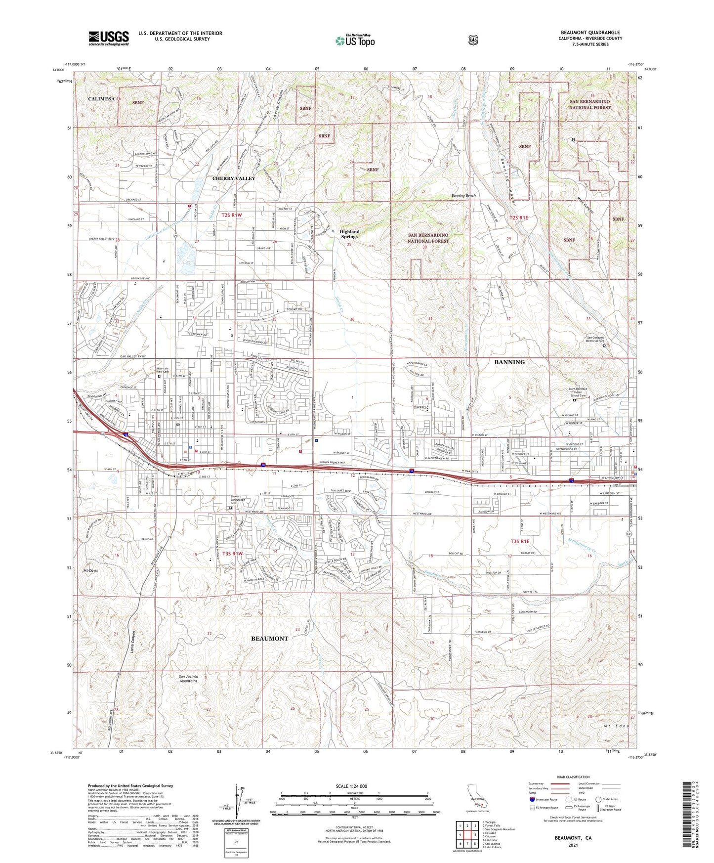
Beaumont California US Topo Map
Couldn't load pickup availability
Also explore the Beaumont Forest Service Topo of this same quad for updated USFS data
2021 topographic map quadrangle Beaumont in the state of California. Scale: 1:24000. Based on the newly updated USGS 7.5' US Topo map series, this map is in the following counties: Riverside. The map contains contour data, water features, and other items you are used to seeing on USGS maps, but also has updated roads and other features. This is the next generation of topographic maps. Printed on high-quality waterproof paper with UV fade-resistant inks.
Quads adjacent to this one:
West: El Casco
Northwest: Yucaipa
North: Forest Falls
Northeast: San Gorgonio Mountain
East: Cabazon
Southeast: Lake Fulmor
South: San Jacinto
Southwest: Lakeview
This map covers the same area as the classic USGS quad with code o33116h8.
Contains the following named places: American Medical Response Banning, American Medical Response Beaumont, Andy and Toni Chavez Elementary School, Apostolic Assembly of the Faith in Jesus Church, Banning, Banning Bench, Banning Foursquare Church, Banning High School, Banning Police Department, Banning Public Library, Banning Ranger Station, Banning United Methodist Church, Beaumont, Beaumont Chamber of Commerce, Beaumont City Hall, Beaumont City Police Department, Beaumont Fire Station 66, Beaumont Foursquare Church, Beaumont Library, Beaumont Plaza Shopping Center, Beaumont Post Office, Beaumont Presbyterian Church, Beaumont Senior High School, Beaumont Seventh Day Adventist Church, Beaumont Shopping Center, Beaumont Towne Centre Shopping Center, Bogart County Park, California Highway Patrol - San Gorgonio Pass, Calvary Baptist Church of Beaumont, Calvary Chapel of the Pass, Calvary Christian School, Central Elementary School, Cherry Canyon, Cherry Valley, Cherry Valley Baptist Church, Cherry Valley Census Designated Place, Church of Christ, Church of the Nazarene, City of Banning, City of Beaumont, Davis Ranch, Edward Dean Museum of Decorative Arts, First Assembly of God Church, First Baptist Church, First Christian Church, First Southern Baptist Church, Gandy Ranch, Gilman Ranch Historic Park, Hemmerling Elementary School, Highland Springs, KMET-AM (Banning), Mias Canyon, Missionary Baptist Church of Beaumont, Montgomery Creek, Mount Davis, Mount Edna, Mountain View Cemetery, Mountain View Junior High School, New Covenant Fellowship Church, Noble Creek Park, Our Saviors Lutheran Church, Palm Elementary School, Pass Christian School, Pentecostal Church of God, Pershing Siding, Precious Blood Catholic Church, Precious Blood Catholic School, Rangel Park, Repplier Park, Riverside County Fire Department Station 20, Riverside County Fire Department Station 22 - Cherry Valley, Riverside County Fire Department Station 66 Beaumont City, Riverside County Fire Department Station 89 Banning, Saint Agnes Episcopal Church, Saint Boniface Indian School Cemetery, Saint Boniface School, Saint Stephens Episcopal Church, San Andreas High School, San Gorgonio Catholic Church, San Gorgonio Memorial Hospital, San Gorgonio Memorial Park, San Gorgonio Pass Division, Stewart Park, Stewart Sunnyslope Cemetery, Summit Elementary School, Sun Lakes Country Club and Golf Course, Sun Lakes Village Shopping Center, Susan B Coombs Intermediate School, Sylvan Park, The Potters House Christian Fellowship Church, Wallace Creek, Wellwood Elementary School, ZIP Code: 92223


