MyTopo
Yucaipa California US Topo Map
Couldn't load pickup availability
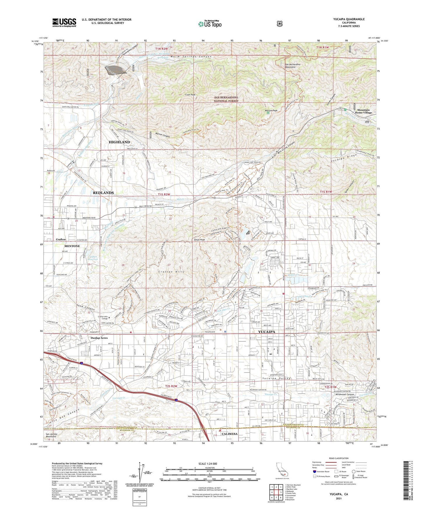
2021 topographic map quadrangle Yucaipa in the state of California. Scale: 1:24000. Based on the newly updated USGS 7.5' US Topo map series, this map is in the following counties: San Bernardino, Riverside. The map contains contour data, water features, and other items you are used to seeing on USGS maps, but also has updated roads and other features. This is the next generation of topographic maps. Printed on high-quality waterproof paper with UV fade-resistant inks.
Quads adjacent to this one:
West: Redlands
Northwest: Harrison Mountain
North: Keller Peak
Northeast: Big Bear Lake
East: Forest Falls
Southeast: Beaumont
South: El Casco
Southwest: Sunnymead
This map covers the same area as the classic USGS quad with code o34117a1.
Contains the following named places: Abundant Life Fellowship Church, Advanced Education Services of Live Oak, Apostolic Tabernacle, Bear Valley High Line Aqueduct, Bryant Street Baptist Church, California Department of Forestry and Fire Protection Station 13 - Yucaipa City Fire Department, California Department of Forestry and Fire Protection Station 18 - Crafton Hills, Calimesa, Calimesa Citizen Patrol, Calimesa Community Church, Calimesa Elementary School, Calimesa Plaza Shopping Center, Calimesa School, Calvary Christian Center, Church of Christ of Calimesa, Church of God, Church of the Nazarene, City of Yucaipa, Community Church of Yucaipa, Crafton, Crafton Hills, Crafton Hills Airport, Crafton Hills College, Crafton Hills Reservoir, Crafton Reservoir, Cram Peak, Deep Creek, Dunlap Acres, Dunlap Elementary School, Faith Lutheran Church, First Baptist Church of Yucaipa, First Church of Christ Scientist, First Church of God, Government Canyon, Green Canyon, Green Valley Bible Foursquare Church, Green Valley High School, Greenleaf School, Greenspot, Hot Springs, Jackson Ranch, Kingdom Hall of Jehovahs Witnesses, Mentone Census Designated Place, Mentone Elementary School, Mesa Grande Academy, Mill Creek, Mill Creek Campgrounds, Mill Creek Canyon, Mill Creek Ranger Station, Morton Canyon, Morton Peak, Morton Ridge Trail, Mountain Home Creek, Mousley Museum of Natural History, North Bench, Oak Glen Creek, Oak View High School and Education Center, Panorama Christian School, Park View Middle School, Redlands Aqueduct, Ridgeview Elementary School, Riverside County Fire Department Station 21 Calimesa, Saint Francis X Cabrini Catholic Church, San Bernardino County Fire Department Station 9 Mentone, San Bernardino County Sheriff's Office, Sand Canyon, Santa Ana Divide Trail, Set Free Fellowship Church, Spoor Canyon, Thurman Flat Guard Station, Thurman Flats Improved Picnic Area, Thurman Flats Picnic Area, Tree of Life Academy, Warm Springs Canyon, Water Canyon, Wildwood Canyon, Wilson Creek, Wilson Creek High School, Yucaipa, Yucaipa Adult School, Yucaipa Branch San Bernardino County Library, Yucaipa Christian Church, Yucaipa Christian School, Yucaipa Church of Christ, Yucaipa City Hall, Yucaipa Division, Yucaipa Elementary School, Yucaipa Family Clinic of Redlands Community Hospital, Yucaipa High School, Yucaipa Number 1 2009 Dam, Yucaipa Number 2 2009-002 Dam, Yucaipa Number 3 2009-003 Dam, Yucaipa Post Office, Yucaipa Regional Park, Yucaipa Square Shopping Center, Yucaipa Valley, Yucaipa Valley Water District Sewage Treatment Plant, Zanja Peak, ZIP Codes: 92359, 92399


