MyTopo
Ben Hur California US Topo Map
Couldn't load pickup availability
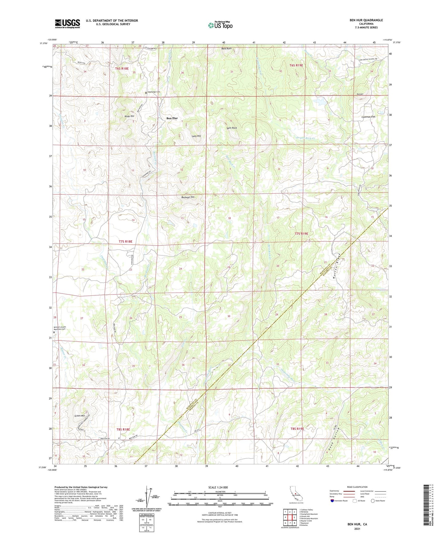
2021 topographic map quadrangle Ben Hur in the state of California. Scale: 1:24000. Based on the newly updated USGS 7.5' US Topo map series, this map is in the following counties: Mariposa, Madera. The map contains contour data, water features, and other items you are used to seeing on USGS maps, but also has updated roads and other features. This is the next generation of topographic maps. Printed on high-quality waterproof paper with UV fade-resistant inks.
Quads adjacent to this one:
West: Illinois Hill
Northwest: Catheys Valley
North: Mariposa
Northeast: Stumpfield Mountain
East: Horsecamp Mountain
Southeast: Knowles
South: Raymond
Southwest: Raynor Creek
This map covers the same area as the classic USGS quad with code o37119c8.
Contains the following named places: Bald Rock, Becknell Creek, Ben Hur, Ben Hur School, Brewer's Green Mountain Cemetery, Buckeye Hill, Chapman Creek, Coleman Flat, Cow Creek, Deep Hollow, Green Mountain, Green Mountain School, Hendricks 675 Dam, Horse Creek, Knob Hill, Lacy Hill, Mullen Ridge, Oakgrove School, Oakvale School, Red Mountain, Split Rock, Split Rock Creek, Willow Creek