MyTopo
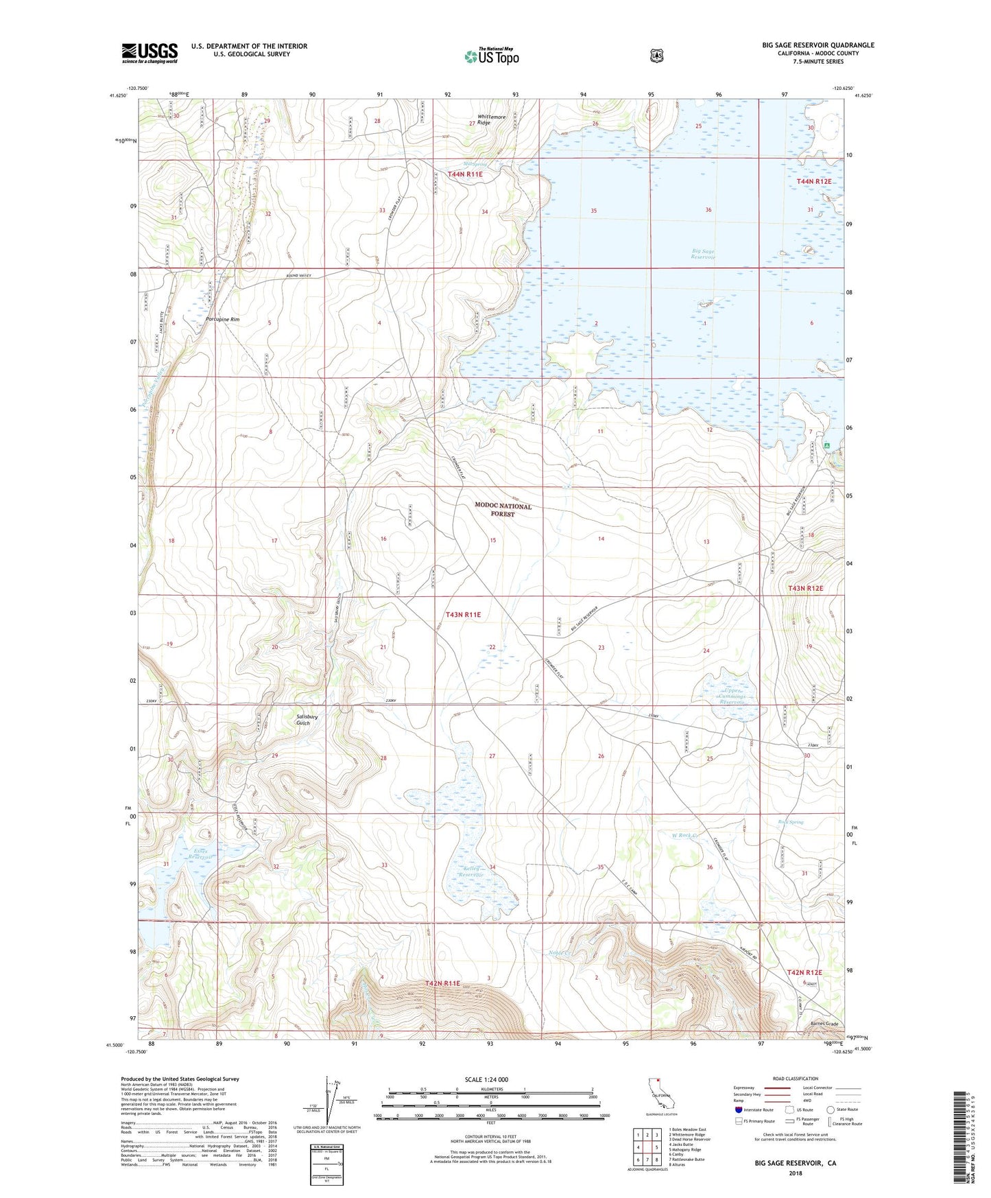
Big Sage Reservoir California US Topo Map
Couldn't load pickup availability
Also explore the Big Sage Reservoir Forest Service Topo of this same quad for updated USFS data
2021 topographic map quadrangle Big Sage Reservoir in the state of California. Scale: 1:24000. Based on the newly updated USGS 7.5' US Topo map series, this map is in the following counties: Modoc. The map contains contour data, water features, and other items you are used to seeing on USGS maps, but also has updated roads and other features. This is the next generation of topographic maps. Printed on high-quality waterproof paper with UV fade-resistant inks.
Quads adjacent to this one:
West: Jacks Butte
Northwest: Boles Meadow East
North: Whittemore Ridge
Northeast: Dead Horse Reservoir
East: Mahogany Ridge
Southeast: Alturas
South: Rattlesnake Butte
Southwest: Canby
This map covers the same area as the classic USGS quad with code o41120e6.
Contains the following named places: Alturas Division, Big Sage 55-000 Dam, Big Sage Campground, Big Sage Dam, Big Sage Reservoir, Cummings Reservoir Number 1 148 Dam, Devils Garden Airport, Essex Reservoir, Kelley Reservoir, Lower Cummings Reservoir, Mill Spring, Modoc County, Porcupine Rim, Rock Spring, S X 112 Dam, Salisbury Gulch, Upper Cummings Reservoir