MyTopo
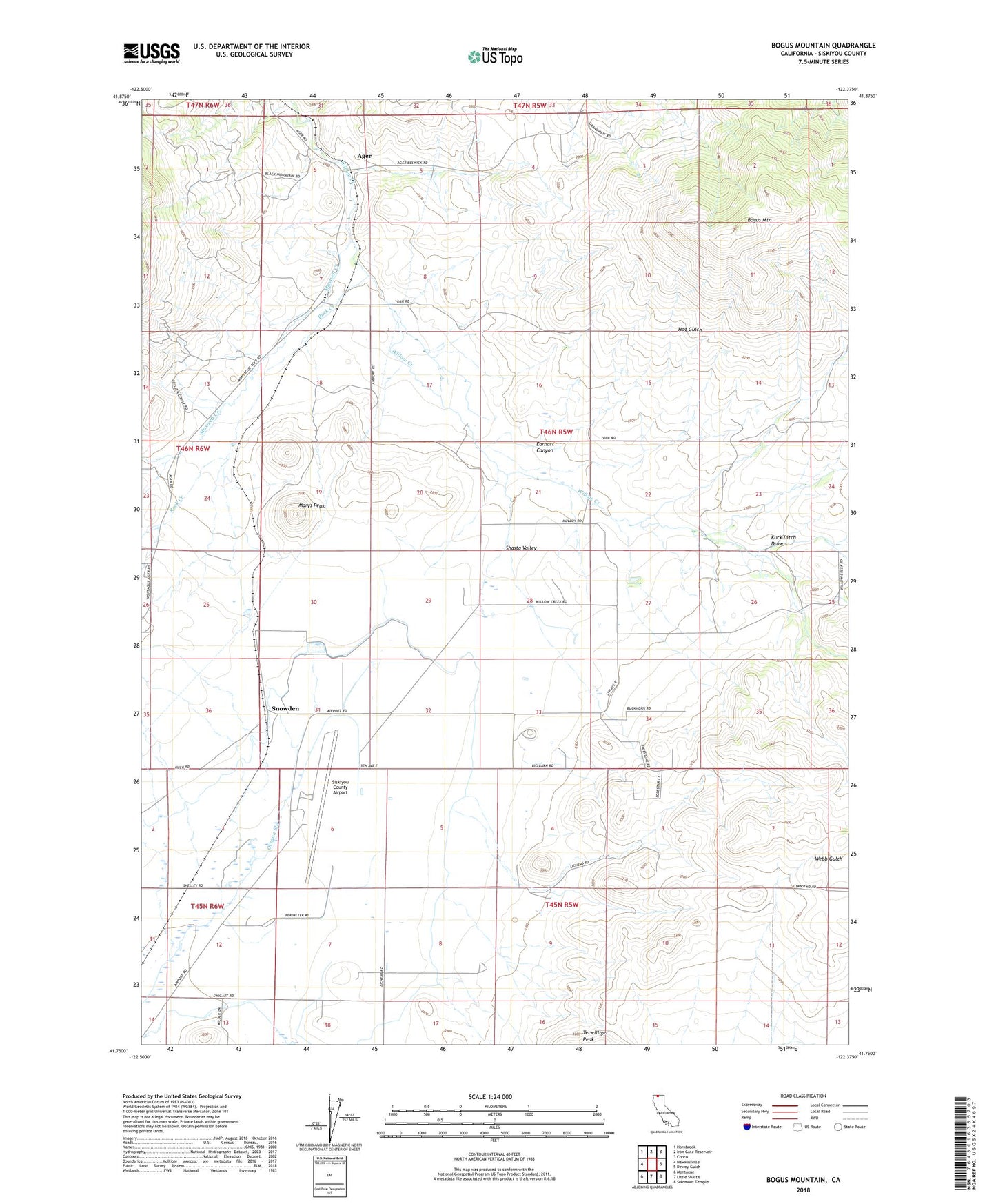
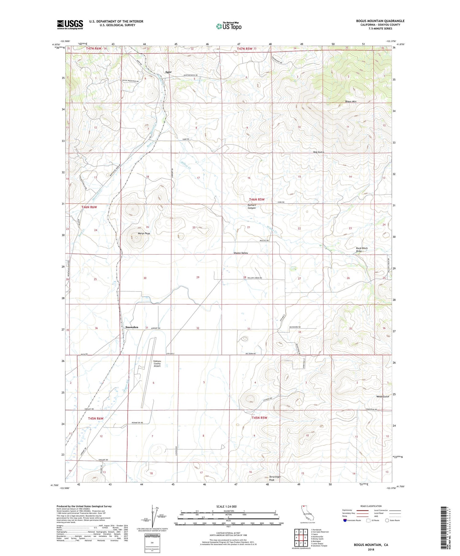
Bogus Mountain California US Topo Map
Couldn't load pickup availability
Also explore the Bogus Mountain Forest Service Topo of this same quad for updated USFS data
2021 topographic map quadrangle Bogus Mountain in the state of California. Scale: 1:24000. Based on the newly updated USGS 7.5' US Topo map series, this map is in the following counties: Siskiyou. The map contains contour data, water features, and other items you are used to seeing on USGS maps, but also has updated roads and other features. This is the next generation of topographic maps. Printed on high-quality waterproof paper with UV fade-resistant inks.
Quads adjacent to this one:
West: Hawkinsville
Northwest: Hornbrook
North: Iron Gate Reservoir
Northeast: Copco
East: Dewey Gulch
Southeast: Solomons Temple
South: Little Shasta
Southwest: Montague
Contains the following named places: Ager, Bogus Mountain, Buckley, Coyote Corners, Earhart Canyon, Foothill School, Fords Gulch, Halter, Hog Gulch, Kuck, Kuck Ditch Draw, Logan, Marys Peak, Maxwell Creek, Rock Creek, Shasta Valley, Siskiyou County Airport, Snowden, Snowden School, Sylva, TY G Ranch, Willow Creek Elementary School, Yonce, York