MyTopo
Colusa California US Topo Map
Couldn't load pickup availability
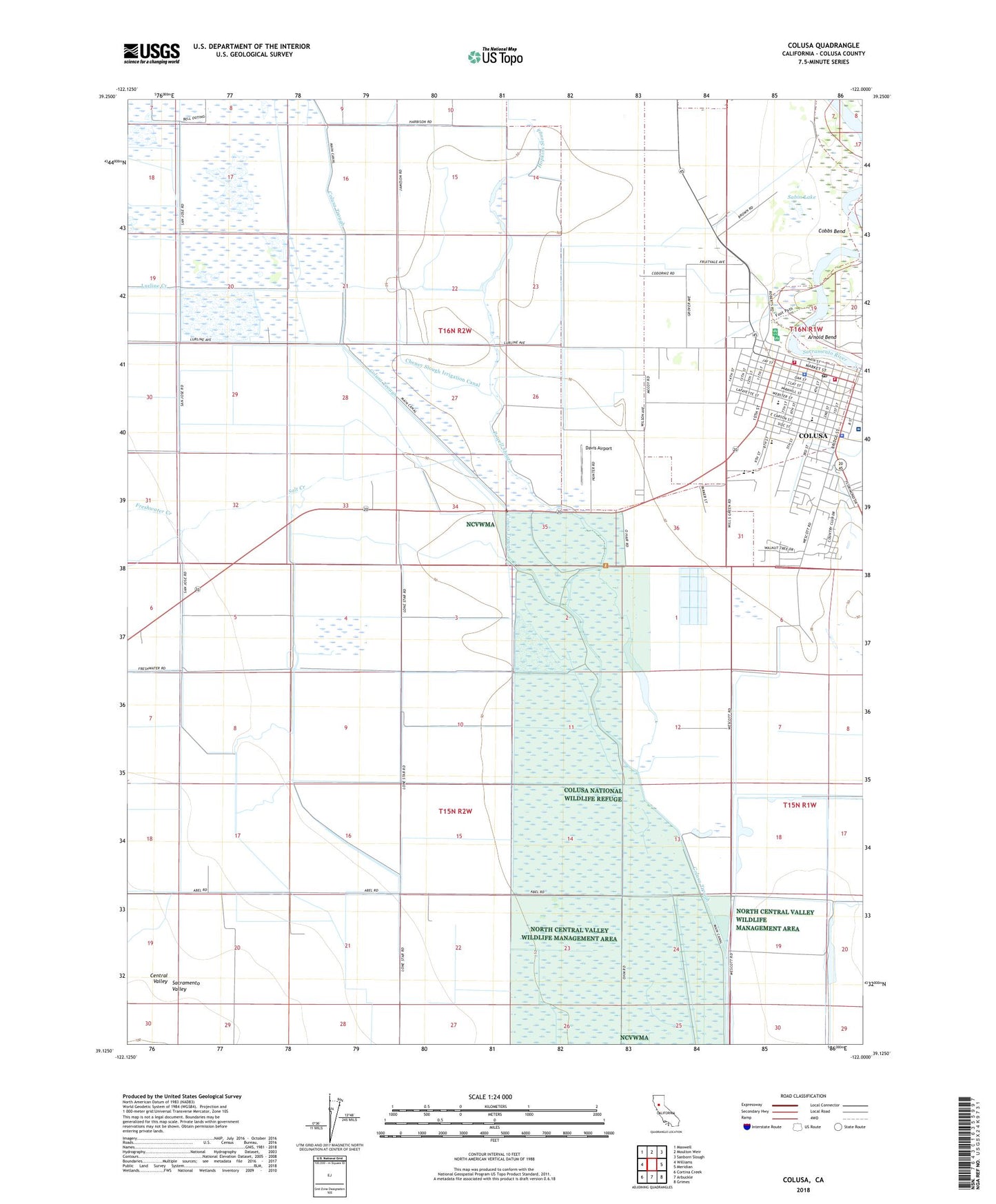
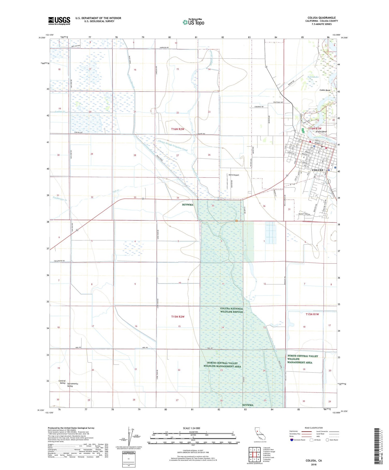
2022 topographic map quadrangle Colusa in the state of California. Scale: 1:24000. Based on the newly updated USGS 7.5' US Topo map series, this map is in the following counties: Colusa. The map contains contour data, water features, and other items you are used to seeing on USGS maps, but also has updated roads and other features. This is the next generation of topographic maps. Printed on high-quality waterproof paper with UV fade-resistant inks.
Quads adjacent to this one:
West: Williams
Northwest: Maxwell
North: Moulton Weir
Northeast: Sanborn Slough
East: Meridian
Southeast: Grimes
South: Arbuckle
Southwest: Cortina Creek
This map covers the same area as the classic USGS quad with code o39122b1.
Contains the following named places: Arnold Bend, Cheney Slough Irrigation Canal, City of Colusa, Cobbs Bend, Colusa, Colusa Carnegie Library, Colusa Cemetery District, Colusa County Fairgrounds, Colusa County Sheriff's Office, Colusa Fire Department, Colusa Golf and Country Club, Colusa Gun Club, Colusa High School, Colusa Levee Scenic Park, Colusa National Wildlife Refuge, Colusa Police Department, Colusa Post Office, Colusa Regional Medical Center, Colusa-Sacramento River State Recreation Area, Commodore Gun Club, Davis Airport, Davis Levee, Enloe Ambulance Service Colusa, First Baptist Church, Freshwater Creek, George T Egling Middle School, Holy Cross Catholic Cemetery, Hopkins Slough, James M Burchfield Primary School, KKCY-FM (Colusa), Lake Land Gun Club, Limit Gun Club, Lurline Creek, Northern Gun Club, Old Davis Levee, Our Lady of Lourdes School, Pentecostal Church of God, Powell Slough, Sabin Lake, Sacramento River Fire Protection District Colusa Station, Saint Stephens Episcopal Church, Salt Creek, Trinity United Methodist Church, Union High School, Willow Creek-Lurline Wildlife Management Area, Yuba College-Colusa Center


