MyTopo
Meridian California US Topo Map
Couldn't load pickup availability
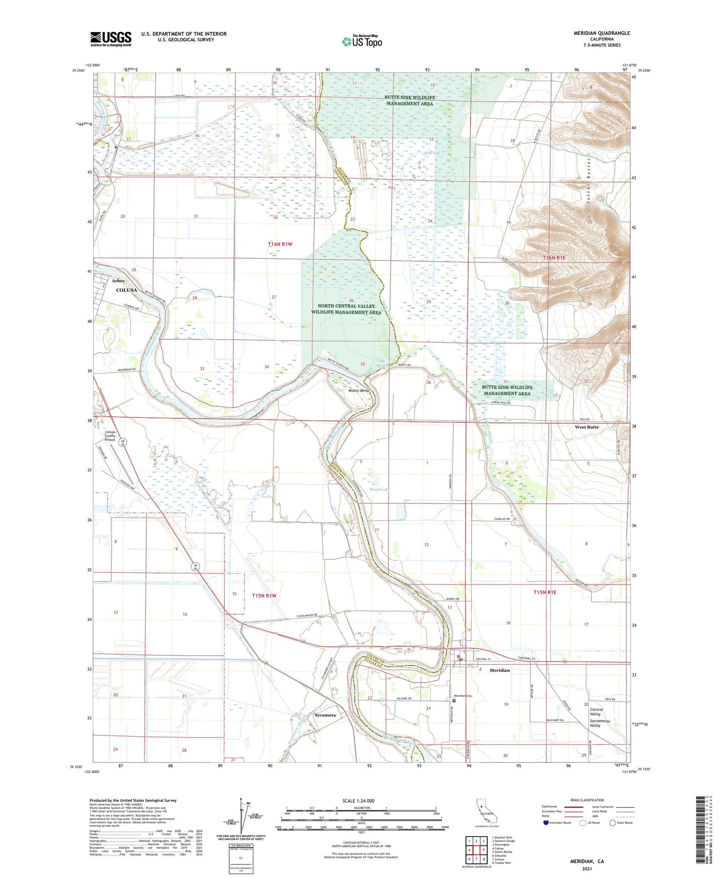
2021 topographic map quadrangle Meridian in the state of California. Scale: 1:24000. Based on the newly updated USGS 7.5' US Topo map series, this map is in the following counties: Colusa, Sutter. The map contains contour data, water features, and other items you are used to seeing on USGS maps, but also has updated roads and other features. This is the next generation of topographic maps. Printed on high-quality waterproof paper with UV fade-resistant inks.
Quads adjacent to this one:
West: Colusa
Northwest: Moulton Weir
North: Sanborn Slough
Northeast: Pennington
East: Sutter Buttes
Southeast: Tisdale Weir
South: Grimes
Southwest: Arbuckle
This map covers the same area as the classic USGS quad with code o39121b8.
Contains the following named places: Arbee, Butte Creek, Butte Lodge Outing Club, Butte Slough, Colusa By-Pass, Colusa County Airport, Colusa Shooting Club, Colusa Weir, Colusa Weir Recreation Area, Dunns Ferry, East Colusa Division, Farmers School, Mawson Bridge, Meridian, Meridian Cemetery, Meridian Census Designated Place, Meridian Elementary School, Meridian Fire Department, Meridian Park, Meridian Post Office, Moons Bend, Moons Ferry, Noyesburg School, Sycamore, Wards Boat Landing, Washington School, West Butte, Wood Lake