MyTopo
Condor Peak California US Topo Map
Couldn't load pickup availability
Also explore the Condor Peak Forest Service Topo of this same quad for updated USFS data
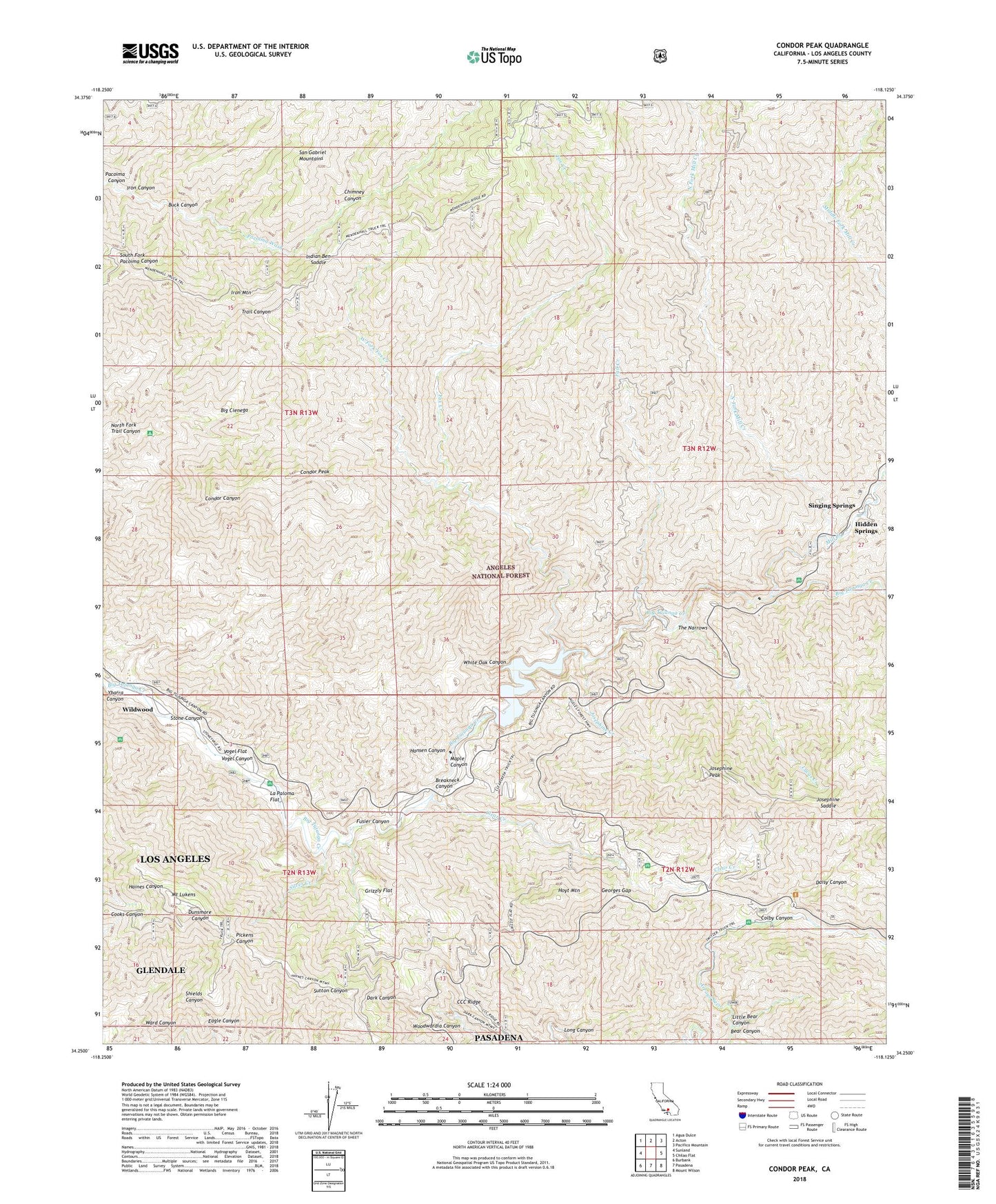
2022 topographic map quadrangle Condor Peak in the state of California. Scale: 1:24000. Based on the newly updated USGS 7.5' US Topo map series, this map is in the following counties: Los Angeles. The map contains contour data, water features, and other items you are used to seeing on USGS maps, but also has updated roads and other features. This is the next generation of topographic maps. Printed on high-quality waterproof paper with UV fade-resistant inks.
Quads adjacent to this one:
West: Sunland
Northwest: Agua Dulce
North: Acton
Northeast: Pacifico Mountain
East: Chilao Flat
Southeast: Mount Wilson
South: Pasadena
Southwest: Burbank
This map covers the same area as the classic USGS quad with code o34118c2.
Contains the following named places: Alder Glen Picnic Area, Bear Canyon, Big Cienega, Big Cienega Trail Camp, Big Tujunga Dam, Big Tujunga Number 1 32-006 Dam, Big Tujunga Reservoir, Big Tujunga Station, Breakneck Canyon, Buck Canyon, Burbank YMCA Camp, CCC Ridge, Chimney Canyon, Clear Creek, Clear Creek School Camp, Clear Creek Station, Colby Canyon, Condor Peak, Condor Peak Ridign and hiking Trail, Daisy Canyon, Dark Canyon Trail, Deer Spring Campground, Fall Creek, Fall Creek Camp, Fox Creek, Fusier Canyon, Georges Gap, Grizzly Flat, Hansen Canyon, Hidden Springs, Hidden Springs Camp, Hidden Springs Picnic Area, Hoyt Mountain, Indian Ben Saddle, Iron Canyon, Iron Mountain, Iron Target Shooting Area, Josephine Creek, Josephine Peak, Josephine Saddle, La Paloma Flat, Lightning Point Campground, Little Bear Canyon, Lodestone Mine, Long Canyon, Lower Switzer Campground, Lucas Creek, Maple Canyon, Middle Target Shooting Area, Mill Creek, Mount Gleason Campground, Mount Lukens, North Fork Mill Creek, North Fork Trail Canyon, Roads End Picnic Area, Shoening Springs Picnic Area, Silver Creek, Singing Springs, Stone Canyon, Stone Canyon Trail, Stoneyvale Campground, Switzer Camp, Switzer Station, Switzer Visitor Information Station, The Narrows, The Pines Picnic Area, Tom Lucas Campground, Upper Switzer Campground, Vasquez Creek, Vogel Canyon, Vogel Flat, Vogel Flats Campground, West Fork Fox Creek, White Oak Canyon, Wildwood, Wildwood Picnic Area, Woodwardia Canyon, Ybarra Canyon, ZIP Code: 91042


