MyTopo
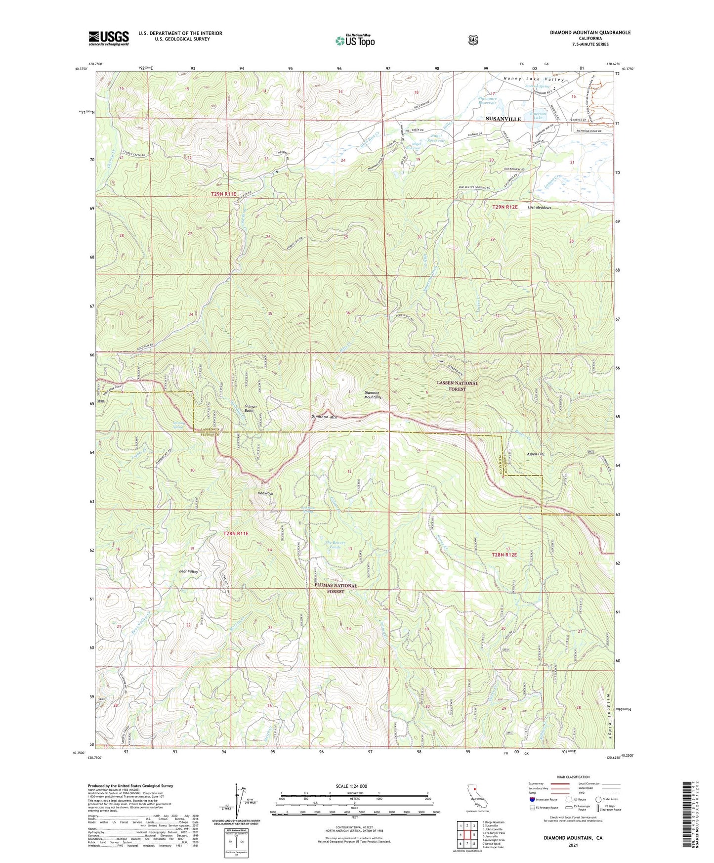
Diamond Mountain California US Topo Map
Couldn't load pickup availability
Also explore the Diamond Mountain Forest Service Topo of this same quad for updated USFS data
2021 topographic map quadrangle Diamond Mountain in the state of California. Scale: 1:24000. Based on the newly updated USGS 7.5' US Topo map series, this map is in the following counties: Lassen, Plumas. The map contains contour data, water features, and other items you are used to seeing on USGS maps, but also has updated roads and other features. This is the next generation of topographic maps. Printed on high-quality waterproof paper with UV fade-resistant inks.
Quads adjacent to this one:
West: Fredonyer Pass
Northwest: Roop Mountain
North: Susanville
Northeast: Johnstonville
East: Janesville
Southeast: Antelope Lake
South: Kettle Rock
Southwest: Moonlight Peak
Contains the following named places: Aspen Flat, Bear Valley, Diamond Mountain, Emerson 255 Dam, Emerson Ditch, Emerson Lake, Emerson Lake Golf Club, Emerson Spring, Gilman Basin, Gold Run Pit, Hills Creek, Lost Meadows, Nagel Reservoir, Peter Lassen Grave, Red Rock, Red Rock Spring, Richmond Elementary School, Ridenoure Reservoir, Snoring Spring, The Beaver Ponds, Wheeler Sheep Campground, Wildcat Ridge