MyTopo
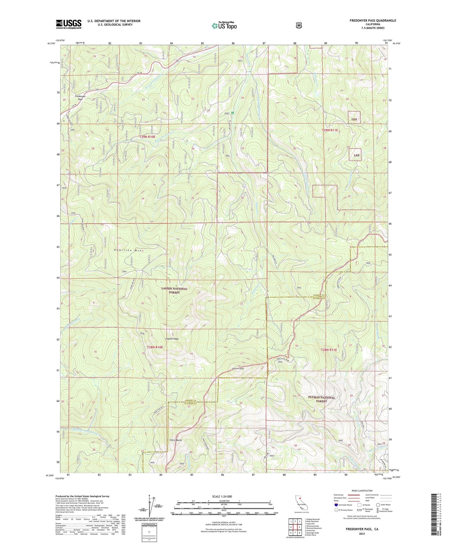
Fredonyer Pass California US Topo Map
Couldn't load pickup availability
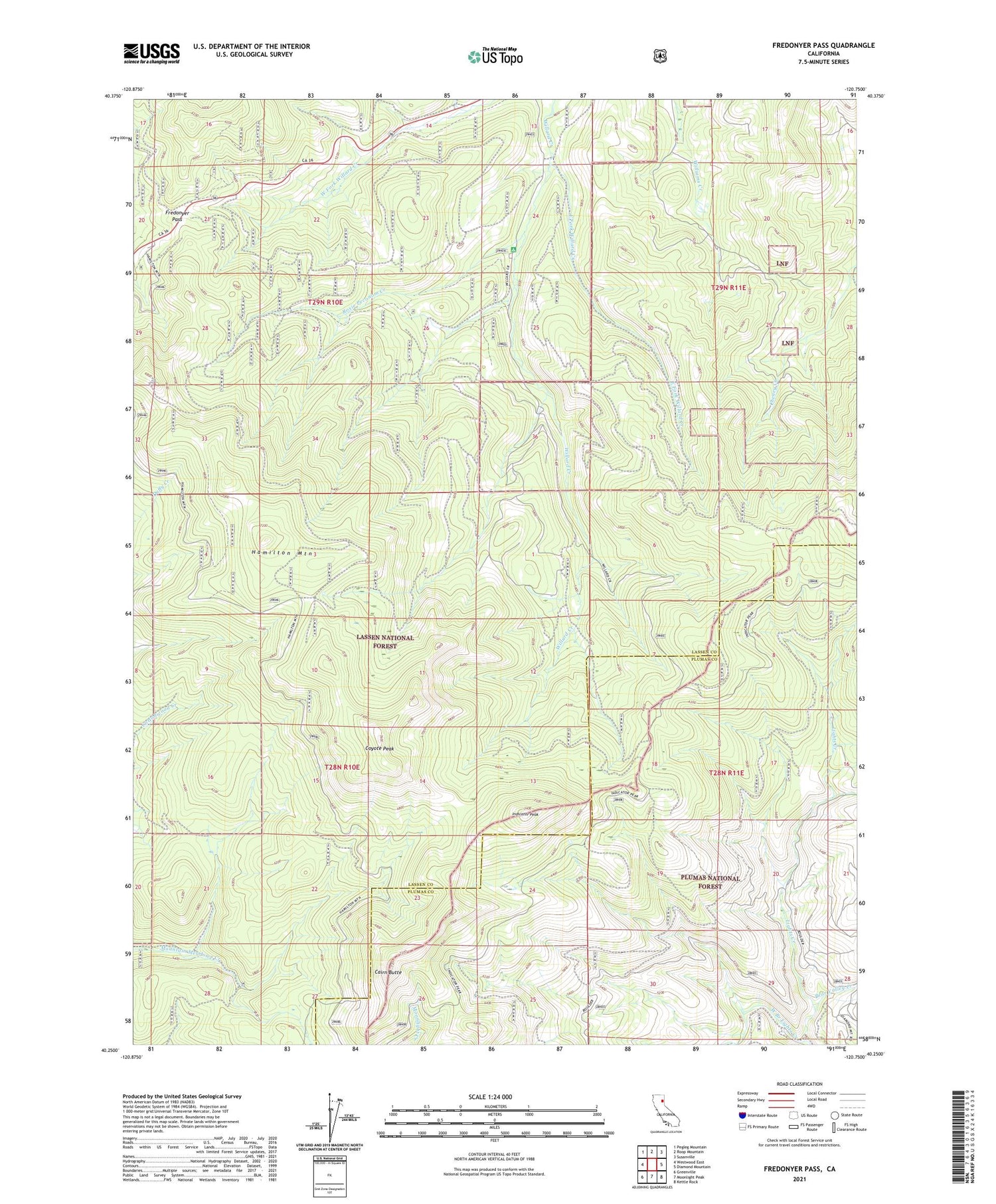
Also explore the Fredonyer Pass Forest Service Topo of this same quad for updated USFS data
2021 topographic map quadrangle Fredonyer Pass in the state of California. Scale: 1:24000. Based on the newly updated USGS 7.5' US Topo map series, this map is in the following counties: Lassen, Plumas. The map contains contour data, water features, and other items you are used to seeing on USGS maps, but also has updated roads and other features. This is the next generation of topographic maps. Printed on high-quality waterproof paper with UV fade-resistant inks.
Quads adjacent to this one:
West: Westwood East
Northwest: Pegleg Mountain
North: Roop Mountain
Northeast: Susanville
East: Diamond Mountain
Southeast: Kettle Rock
South: Moonlight Peak
Southwest: Greenville
This map covers the same area as the classic USGS quad with code o40120c7.
Contains the following named places: Bear Valley Creek, Cairn Butte, Coyote Peak, East Fork Willard Creek, Flemings Sheep Camp, Fredonyer Campground, Fredonyer Pass, Hamilton Mountain, Indicator Peak, Roxie Peconom Creek, Stephens Ranch, West Branch Lights Creek