MyTopo
Ducor California US Topo Map
Couldn't load pickup availability
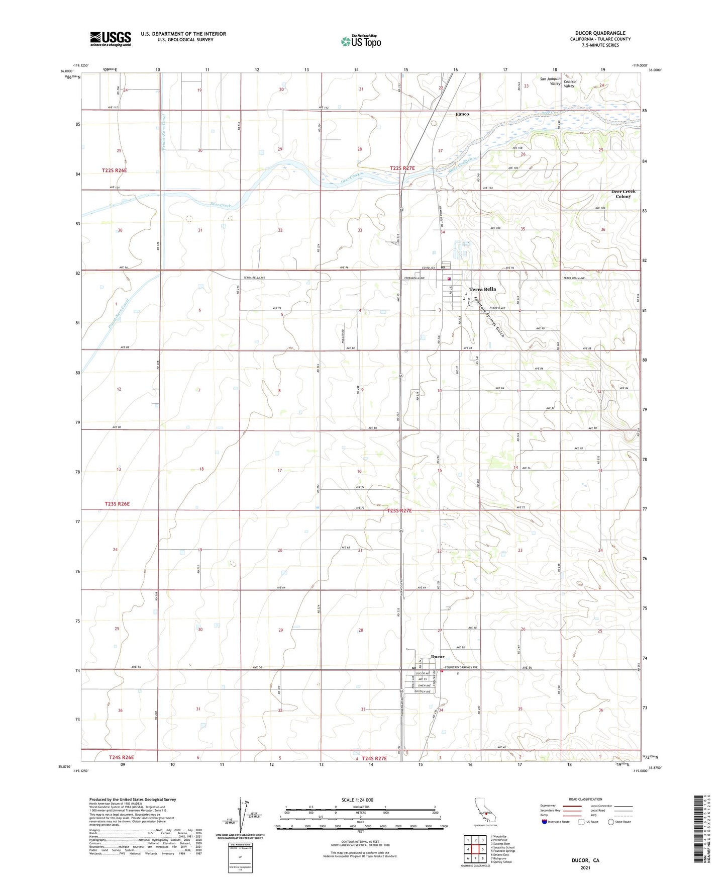
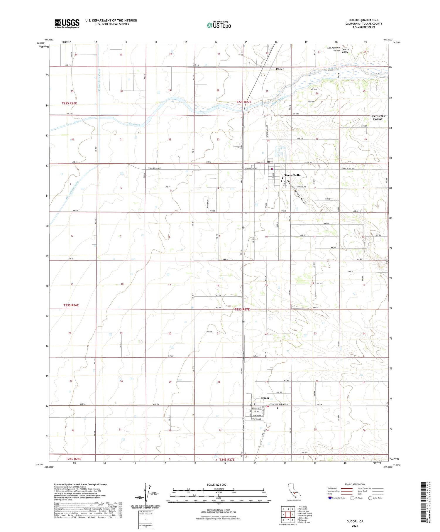
2021 topographic map quadrangle Ducor in the state of California. Scale: 1:24000. Based on the newly updated USGS 7.5' US Topo map series, this map is in the following counties: Tulare. The map contains contour data, water features, and other items you are used to seeing on USGS maps, but also has updated roads and other features. This is the next generation of topographic maps. Printed on high-quality waterproof paper with UV fade-resistant inks.
Quads adjacent to this one:
West: Sausalito School
Northwest: Woodville
North: Porterville
Northeast: Success Dam
East: Fountain Springs
Southeast: Quincy School
South: Richgrove
Southwest: Delano East
This map covers the same area as the classic USGS quad with code o35119h1.
Contains the following named places: Braly Ranch, Deer Creek Colony, Deer Creek Ditch, Ducor, Ducor Census Designated Place, Ducor Post Office, Ducor Union Elementary School, Elmco, First Assembly of God Church, Fountain Springs Gulch, Hasting Ranch, Hunsaker Ranch, Jesucristo el Rey de Gloria, Menne Ranch, Pentecostal Church of God, Terra Bella, Terra Bella Branch Tulare County Library, Terra Bella Census Designated Place, Terra Bella Elementary School, Terra Bella Post Office, Tulare County Fire Department Battalion 2 Ducor Fire Station 17, Tulare County Fire Department Battalion 2 Terra Bella Fire Station 21, Tulare County Sheriff's Office - Terra Bella Substation, Wheatland School, Zion Lutheran Church, ZIP Code: 93270