MyTopo
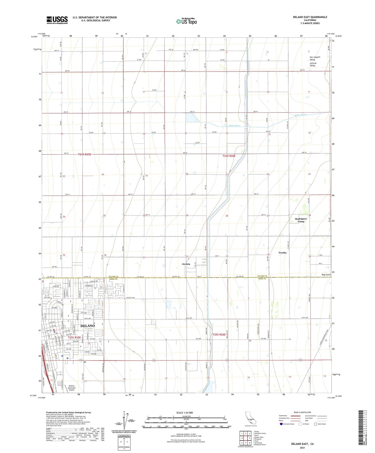
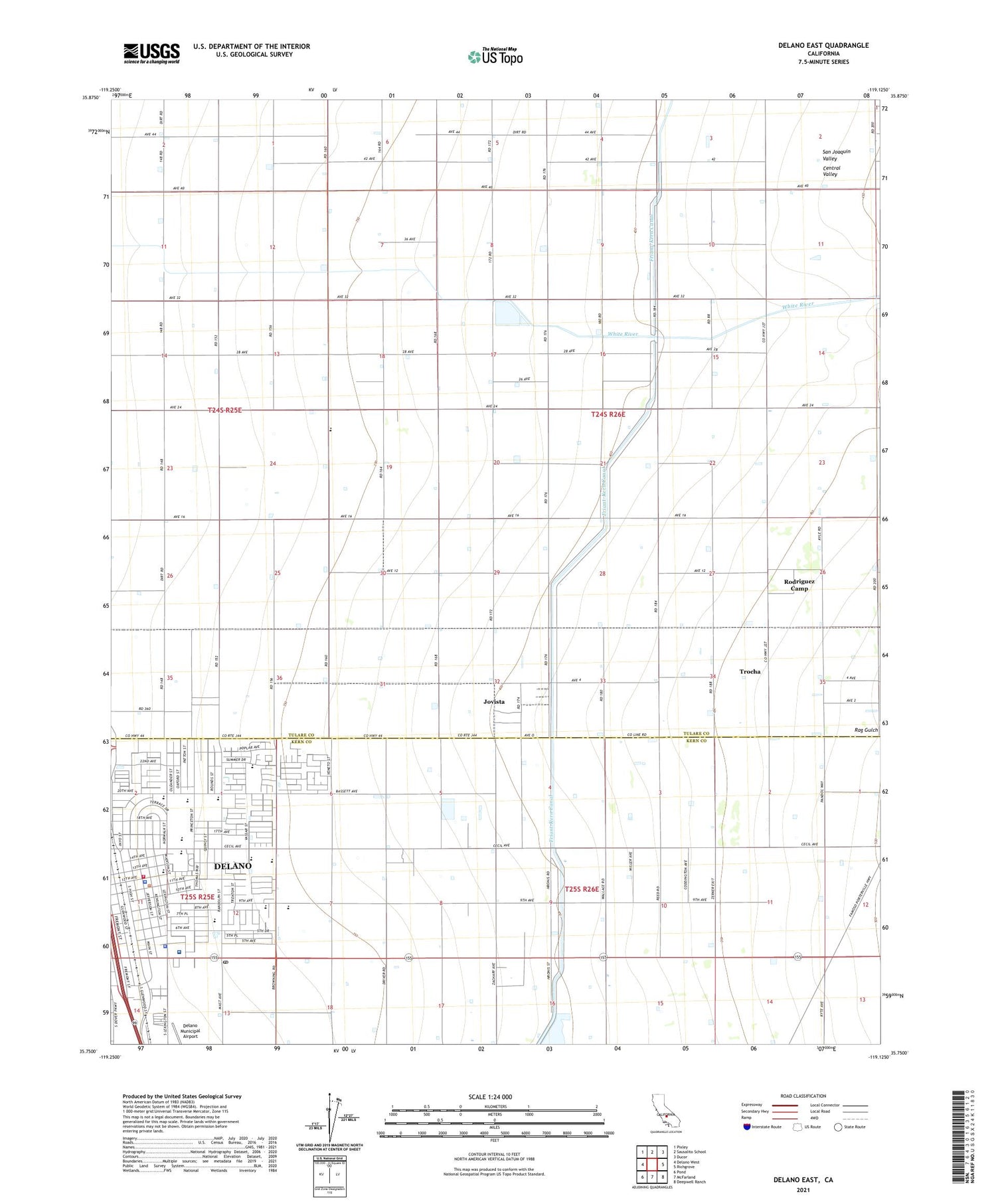
Delano East California US Topo Map
Couldn't load pickup availability
2021 topographic map quadrangle Delano East in the state of California. Scale: 1:24000. Based on the newly updated USGS 7.5' US Topo map series, this map is in the following counties: Tulare, Kern. The map contains contour data, water features, and other items you are used to seeing on USGS maps, but also has updated roads and other features. This is the next generation of topographic maps. Printed on high-quality waterproof paper with UV fade-resistant inks.
Quads adjacent to this one:
West: Delano West
Northwest: Pixley
North: Sausalito School
Northeast: Ducor
East: Richgrove
Southeast: Deepwell Ranch
South: McFarland
Southwest: Pond
This map covers the same area as the classic USGS quad with code o35119g2.
Contains the following named places: Advent Christian Church, Agape Christian School, Allen Ranch, Browning Manor Convalescent Hospital, Calvary Pentecostal Holiness of God Church, Cecil Avenue Junior High School, Cecil Park, Cecil Plaza Shopping Center, Charlotte Chichester Auditorium, Church of Christ, Church of the Redeemer and Hope, Civic Center Hall, Columbine Elementary School, Community Bible Fellowship Church, Crossroads Community Church, Del Vista Elementary School, Delano, Delano Ambulance, Delano Baptist Temple, Delano Branch Kern County Library, Delano Center Kern Community College, Delano Chamber of Commerce, Delano Head Start Center, Delano High School, Delano Hospital, Delano Joint Union High School District Office, Delano Mobile Home Park, Delano Post Office, Delano Public Golf Course, Delano Regional Medical Center, Delano Union Elementary School District Office, Delano Village Shopping Center, Episcopal Church of the Redeemer, First Baptist Church, First Church of Christ Scientist, First United Methodist Church, Frederick Field, Heritage Park, Heritage Park Museum, Ignacio Valenica High School, Immanuel Baptist Church, Jefferson Park, Jovista, Jovista Census Designated Place, Kalibo Park, Kern County Building, Kern County Fire Department Station 34 Delano, Kern County Sheriff's Office, Kern County Sheriff's Office - Delano Substation, McKivitt Ranch, Memorial Park, Memorial Stadium, Princeton Street School, Rag Gulch, Randolph Village Shopping Center, Rodriguez Camp Census Designated Place, Saint Marys Catholic Church, Saint Marys Church, Saint Marys School, San Joaquin Helicopters Heliport, San Joaquin Sprayers Incorporated Heliport, Sierra Vista Ranch, Terrace Elementary School, Trocha, ZIP Codes: 93215, 93261


