MyTopo
Fillmore California US Topo Map
Couldn't load pickup availability
Also explore the Fillmore Forest Service Topo of this same quad for updated USFS data
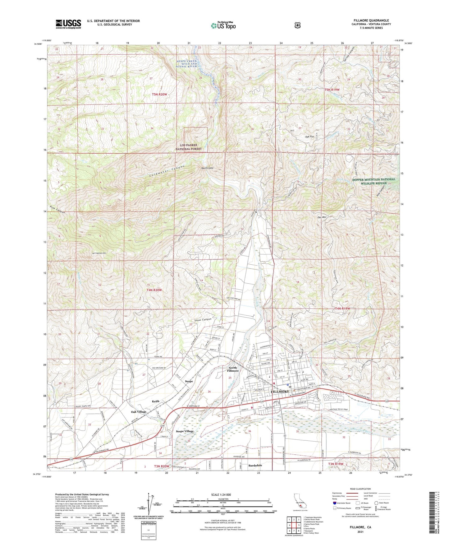
2023 topographic map quadrangle Fillmore in the state of California. Scale: 1:24000. Based on the newly updated USGS 7.5' US Topo map series, this map is in the following counties: Ventura. The map contains contour data, water features, and other items you are used to seeing on USGS maps, but also has updated roads and other features. This is the next generation of topographic maps. Printed on high-quality waterproof paper with UV fade-resistant inks.
Quads adjacent to this one:
West: Santa Paula Peak
Northwest: Topatopa Mountains
North: Devils Heart Peak
Northeast: Cobblestone Mountain
East: Piru
Southeast: Simi Valley West
South: Moorpark
Southwest: Santa Paula
This map covers the same area as the classic USGS quad with code o34118d8.
Contains the following named places: Bear Creek, Bear Heaven, Boulder Creek, Brownstone, Brownstone Reservoir, Casper Ranch, Centennial Creek, Central Park, Christian Praise Assembly Church, Church of the Nazarene, Citrus Valley Christian Center, City of Fillmore, Coldwater Canyon, Dan O'Leary Ranch, Devils Gate, El Dorada Mobile Estates, Elm Creek, Faith Miracle Revival Center, Fillmore, Fillmore Bible Church, Fillmore Branch Ventura County Library, Fillmore Chamber of Commerce, Fillmore City Hall, Fillmore Fire Department, Fillmore Historical Museum, Fillmore Junior High School, Fillmore Lutheran Church, Fillmore Police Department, Fillmore Post Office, Fillmore Religious Science Church, Fillmore School Farm, Fillmore Shopping Center, Fillmore State Fish Hatchery, First Assembly of God Church, First Baptist Church, First Church of Christ, First United Methodist Church, Fourfork Creek, Foursquare Church, Green Cabins Site, Keith, Kenney Grove, Kenney Grove Park, Little Sespe Creek, Main Street Park, Maple Creek, Maranatha Fellowship Church, North Fillmore, North Fork Tar Creek, Oak Flat, Oak Flat Station, Oak Village, Oat Mountain, Pine Canyon, Pole Canyon, Pole Creek, Saint Francis of Assisi Church, San Cayetano Elementary School, San Cayetano Mountain, San Cayetano Pumping Station, San Cayetano School, Santa Clara School, Sespe, Sespe Creek, Sespe Elementary School, Sespe Number Two, Sespe Park, Sespe Village, Shiells Canyon, Snow Canyon, Spring Canyon, Spring Canyon Creek, Tar Creek, The Church of Jesus Christ of Latter Day Saints, Toland Landfill, Trinity Episcopal Church, Union High School, Van Tries Ranch, Ventura County Fire Department Station 27, Wayfarers Chapel Lutheran Church, ZIP Code: 93015


