MyTopo
Piru California US Topo Map
Couldn't load pickup availability
Also explore the Piru Forest Service Topo of this same quad for updated USFS data
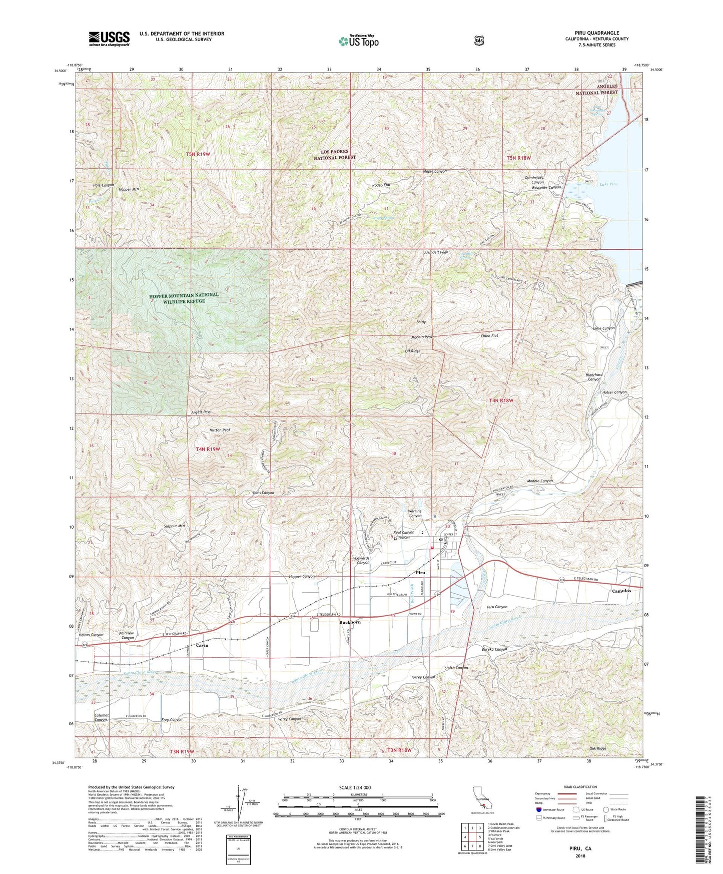
2022 topographic map quadrangle Piru in the state of California. Scale: 1:24000. Based on the newly updated USGS 7.5' US Topo map series, this map is in the following counties: Ventura. The map contains contour data, water features, and other items you are used to seeing on USGS maps, but also has updated roads and other features. This is the next generation of topographic maps. Printed on high-quality waterproof paper with UV fade-resistant inks.
Quads adjacent to this one:
West: Fillmore
Northwest: Devils Heart Peak
North: Cobblestone Mountain
Northeast: Whitaker Peak
East: Val Verde
Southeast: Simi Valley East
South: Simi Valley West
Southwest: Moorpark
This map covers the same area as the classic USGS quad with code o34118d7.
Contains the following named places: Angels Pass, Arundell Peak, Arundell Spring, Baldy, Blanchard Canyon, Buckhorn, Buckhorn Ranch, Calumet Canyon, Camulos, Cavin, Chino Flat, Debris Dam, Dominguez Campground, Dominguez Canyon, Dominguez Ranch, Edwards Canyon, Eureka Canyon, Eureka Canyon Oil Field, Fairview Canyon, Fillmore Division, Frey Canyon, Haines Canyon, Holser Canyon, Hopper Canyon, Hopper Mountain, Hopper Mountain National Wildlife Refuge, Hopper Mountain Wildlife Refuge, Hopper Ranch, Hutton Peak, Juan Fernandez Spring, Karlyn Ranch, Lake Piru, Lankersham Estate, Lime Canyon, Maple Canyon, Modelo Canyon, Modelo Peak, Oil Ridge, Piru, Piru Branch Ventura County Library, Piru Canyon, Piru Cemetery, Piru Census Designated Place, Piru Creek, Piru Elementary School, Piru Post Office, Piru United Methodist Church, Rancho Del Rey, Real Canyon, Real Wash, Reasoner Canyon, Rodeo Flat, Rodeo Spring, San Salvador Catholic Church, Santa Felicia Dam, Smith Canyon, Stephen Ranch, Sulphur Mountain, Temecal Division Ranch, Temescal Forest Service Station, Temescal Guard Station, Temescal School, Toms Canyon, Torrey Canyon, Ventura County Fire Station 28, Warring Canyon, Warring Park, Wiley Canyon, ZIP Code: 93040


