MyTopo
Inyokern California US Topo Map
Couldn't load pickup availability
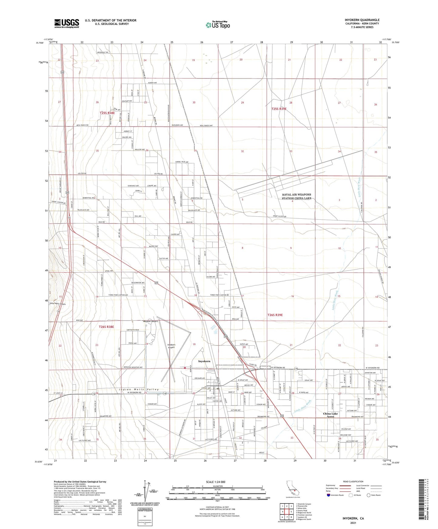
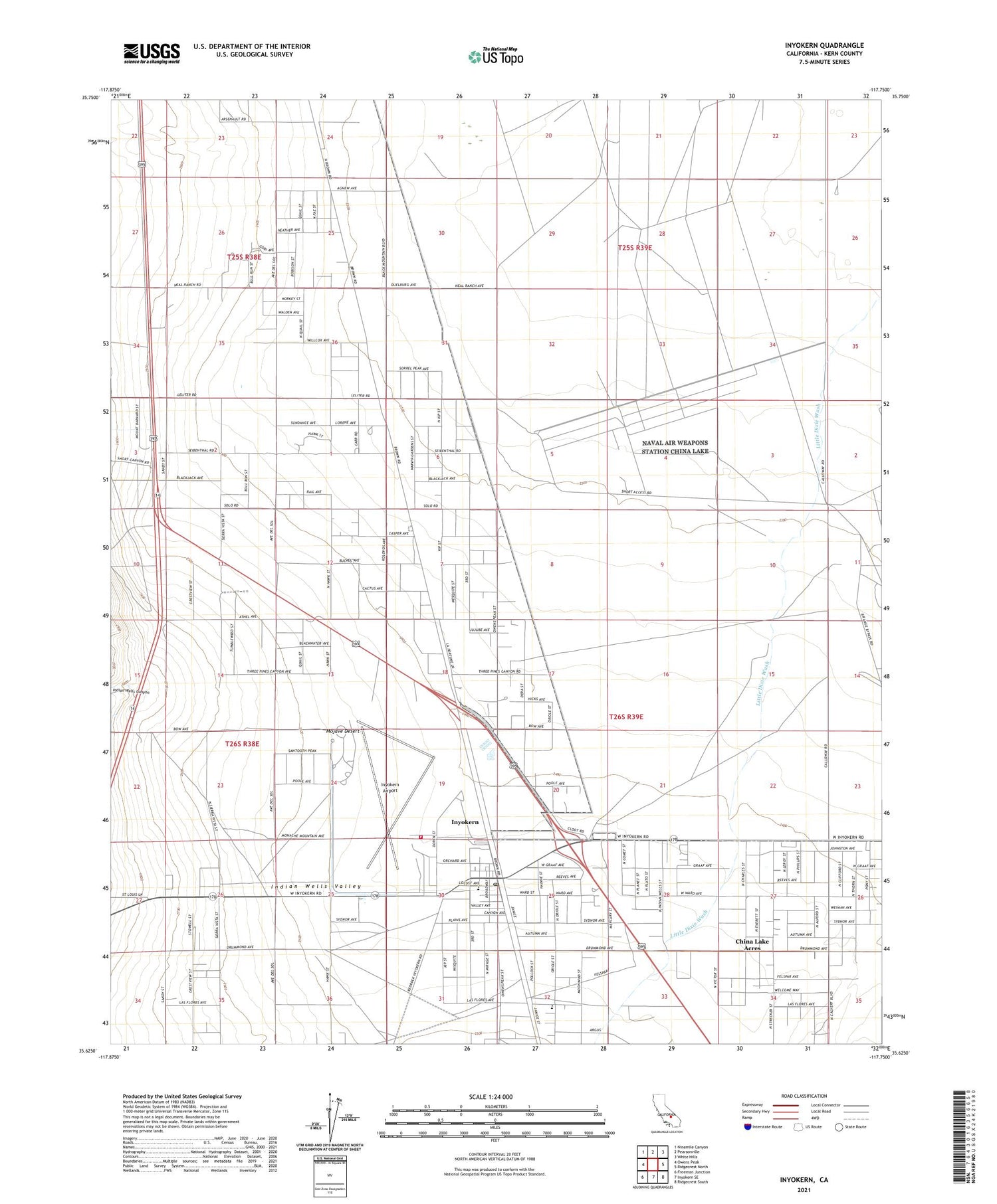
2021 topographic map quadrangle Inyokern in the state of California. Scale: 1:24000. Based on the newly updated USGS 7.5' US Topo map series, this map is in the following counties: Kern. The map contains contour data, water features, and other items you are used to seeing on USGS maps, but also has updated roads and other features. This is the next generation of topographic maps. Printed on high-quality waterproof paper with UV fade-resistant inks.
Quads adjacent to this one:
West: Owens Peak
Northwest: Ninemile Canyon
North: Pearsonville
Northeast: White Hills
East: Ridgecrest North
Southeast: Ridgecrest South
South: Inyokern SE
Southwest: Freeman Junction
This map covers the same area as the classic USGS quad with code o35117f7.
Contains the following named places: Bethel Missionary Baptist Church, Bradys, Carr Ranch, China Lake Acres, China Lake Acres Census Designated Place, Indian Wells, Indian Wells Canyon, Inyokern, Inyokern Airport, Inyokern Baptist Church, Inyokern Census Designated Place, Inyokern Community Methodist Church, Inyokern County Park, Inyokern Elementary School, Inyokern Post Office, Inyokern Senior Citizens Building, Inyokern Town Hall, Kern County Fire Department Station 73 Inyokern, Leliter, Stayer Ranch