MyTopo
Kirkwood California US Topo Map
Couldn't load pickup availability
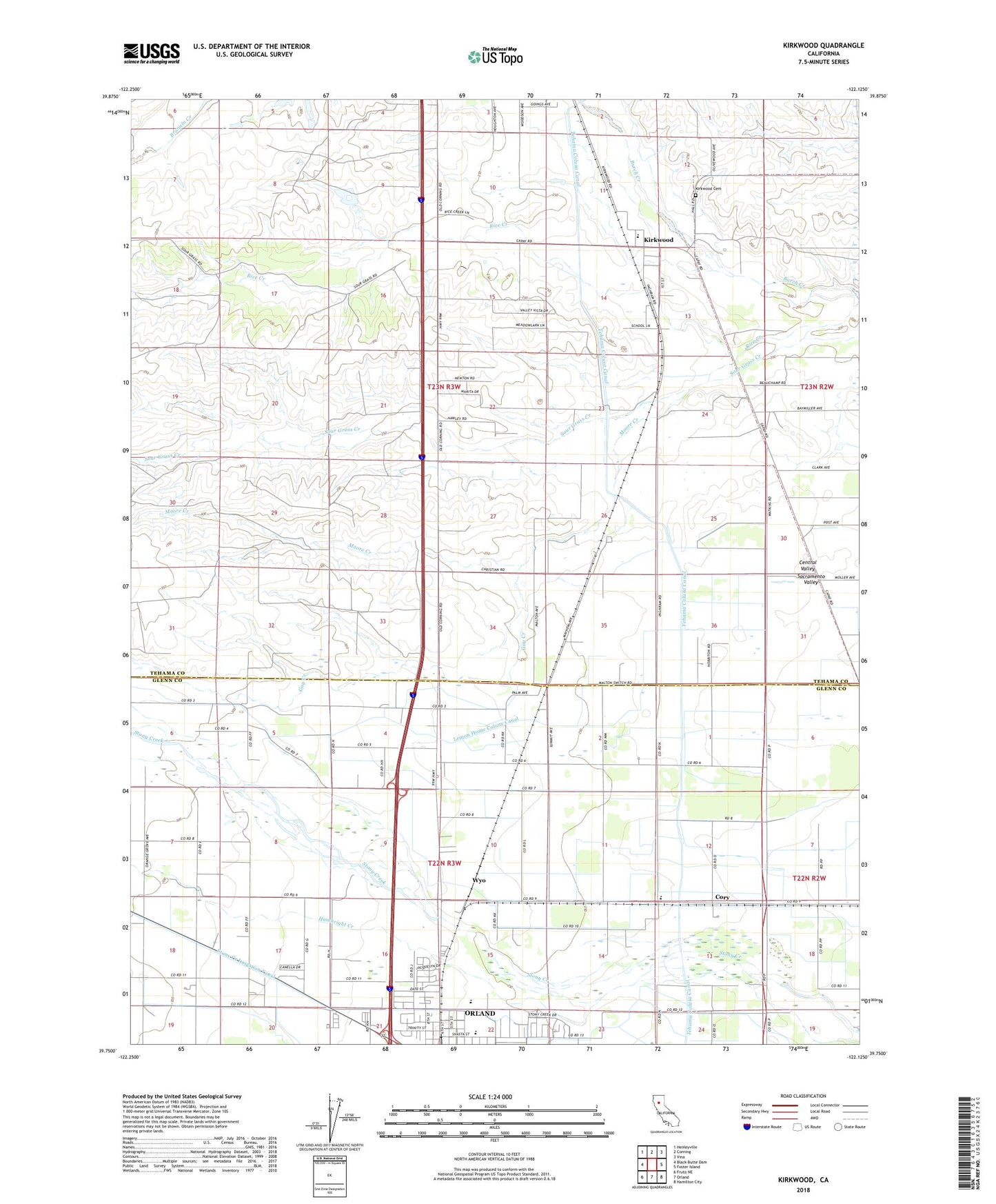
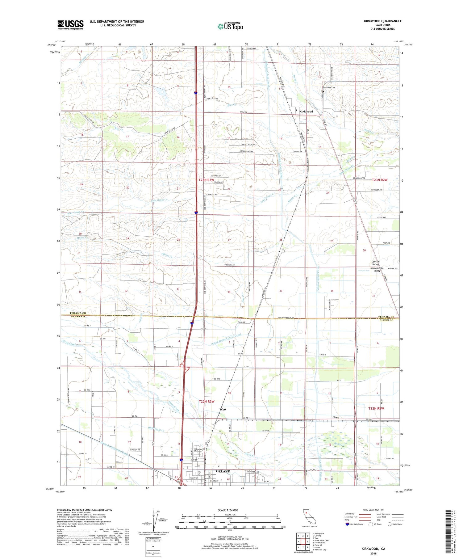
2022 topographic map quadrangle Kirkwood in the state of California. Scale: 1:24000. Based on the newly updated USGS 7.5' US Topo map series, this map is in the following counties: Tehama, Glenn. The map contains contour data, water features, and other items you are used to seeing on USGS maps, but also has updated roads and other features. This is the next generation of topographic maps. Printed on high-quality waterproof paper with UV fade-resistant inks.
Quads adjacent to this one:
West: Black Butte Dam
Northwest: Henleyville
North: Corning
Northeast: Vina
East: Foster Island
Southeast: Hamilton City
South: Orland
Southwest: Fruto NE
This map covers the same area as the classic USGS quad with code o39122g2.
Contains the following named places: Amaral Farm, Brannin Creek, Calumet School, Cory, Gay Creek, Hambright Creek, Kirkwood, Kirkwood Airport, Kirkwood Cemetery, Kirkwood Elementary School, Kirkwood Gas Field, KXHM-FM (Orland), Lake Elementary School, Legion Memorial Park, Lemon Home Colony Canal, Malton, Malton Field, Meadowood Estates, Moore Creek, Orland High School, Orland Masonic Cemetery, Paskenta Rancheria, Rice Creek, Rice Creek Gas Field, Seventh-day Adventist School, Spence Park, Stony Creek Irrigation Canal, Vinsonhaler Park, Wyo