MyTopo
Henleyville California US Topo Map
Couldn't load pickup availability
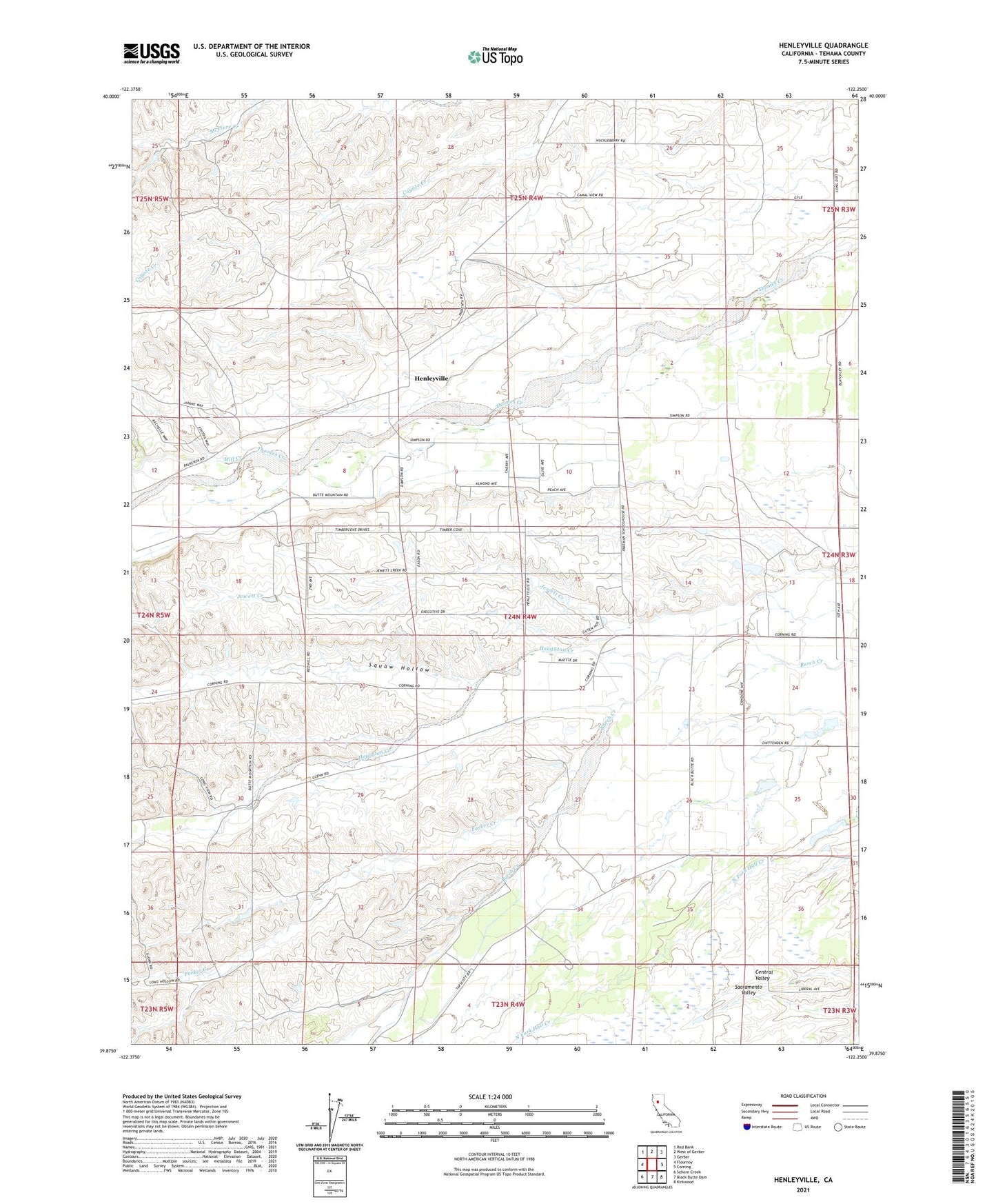
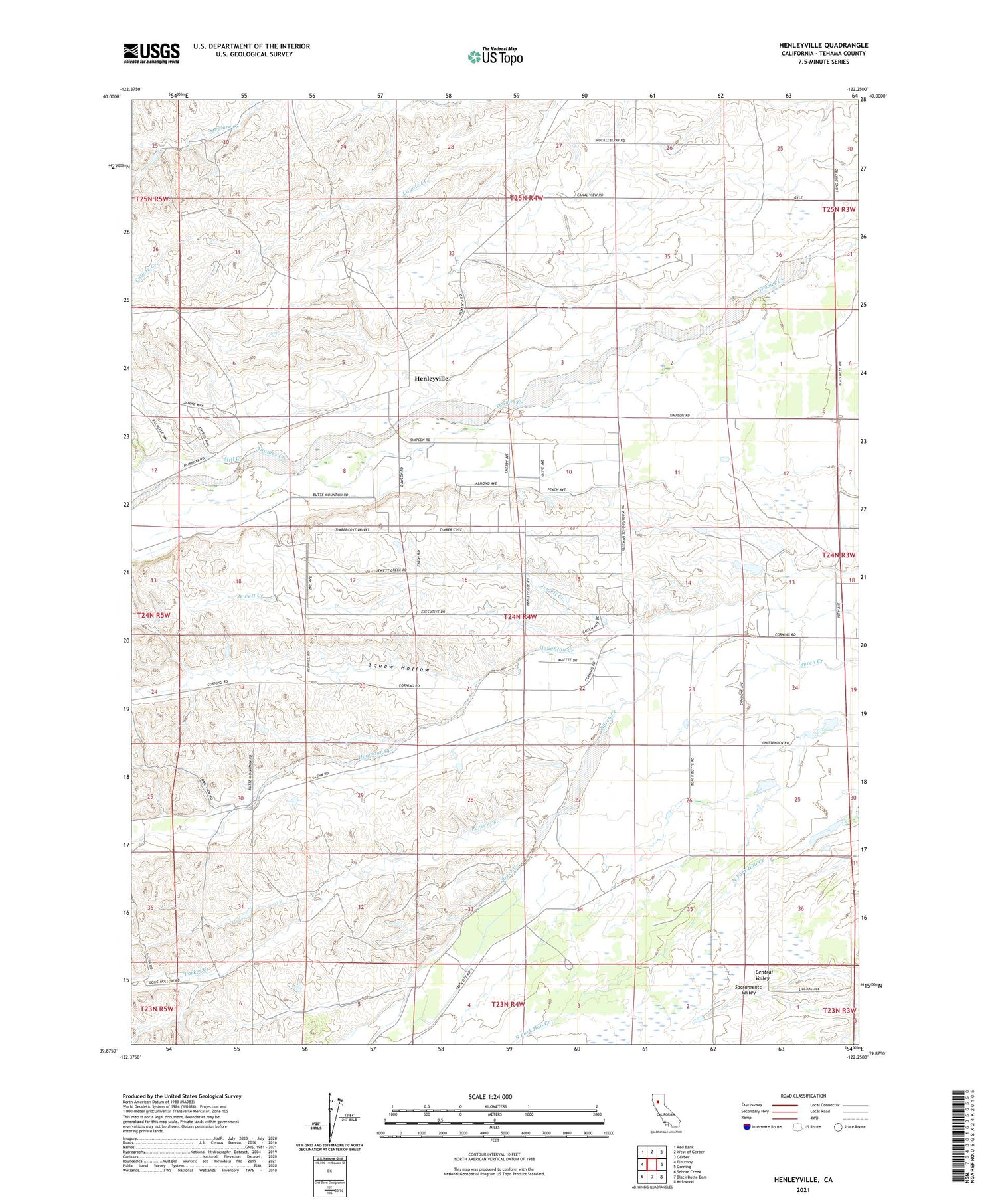
2023 topographic map quadrangle Henleyville in the state of California. Scale: 1:24000. Based on the newly updated USGS 7.5' US Topo map series, this map is in the following counties: Tehama. The map contains contour data, water features, and other items you are used to seeing on USGS maps, but also has updated roads and other features. This is the next generation of topographic maps. Printed on high-quality waterproof paper with UV fade-resistant inks.
Quads adjacent to this one:
West: Flournoy
Northwest: Red Bank
North: West of Gerber
Northeast: Gerber
East: Corning
Southeast: Kirkwood
South: Black Butte Dam
Southwest: Sehorn Creek
This map covers the same area as the classic USGS quad with code o39122h3.
Contains the following named places: Henleyville, Houghton Creek, Mill Creek, Parker Creek, Squaw Hollow, ZIP Code: 96021