
MyTopo
Kirkwood Spring California US Topo Map
Couldn't load pickup availability
Also explore the Kirkwood Spring Forest Service Topo of this same quad for updated USFS data
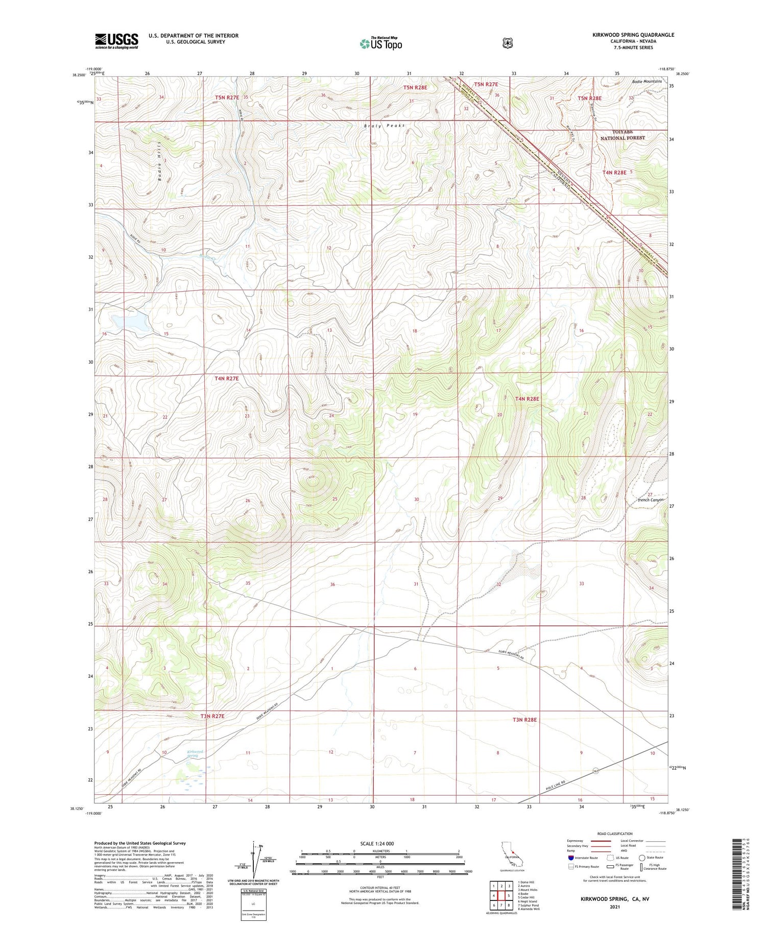
2021 topographic map quadrangle Kirkwood Spring in the state of California. Scale: 1:24000. Based on the newly updated USGS 7.5' US Topo map series, this map is in the following counties: Mono, Mineral. The map contains contour data, water features, and other items you are used to seeing on USGS maps, but also has updated roads and other features. This is the next generation of topographic maps. Printed on high-quality waterproof paper with UV fade-resistant inks.
Quads adjacent to this one:
West: Bodie
Northwest: Dome Hill
North: Aurora
Northeast: Mount Hicks
East: Cedar Hill
Southeast: Alameda Well
South: Sulphur Pond
Southwest: Negit Island
Contains the following named places: Cray Mill, Gray Mill, Kirkwood Spring, Syndicate Mill, Toll House


