MyTopo
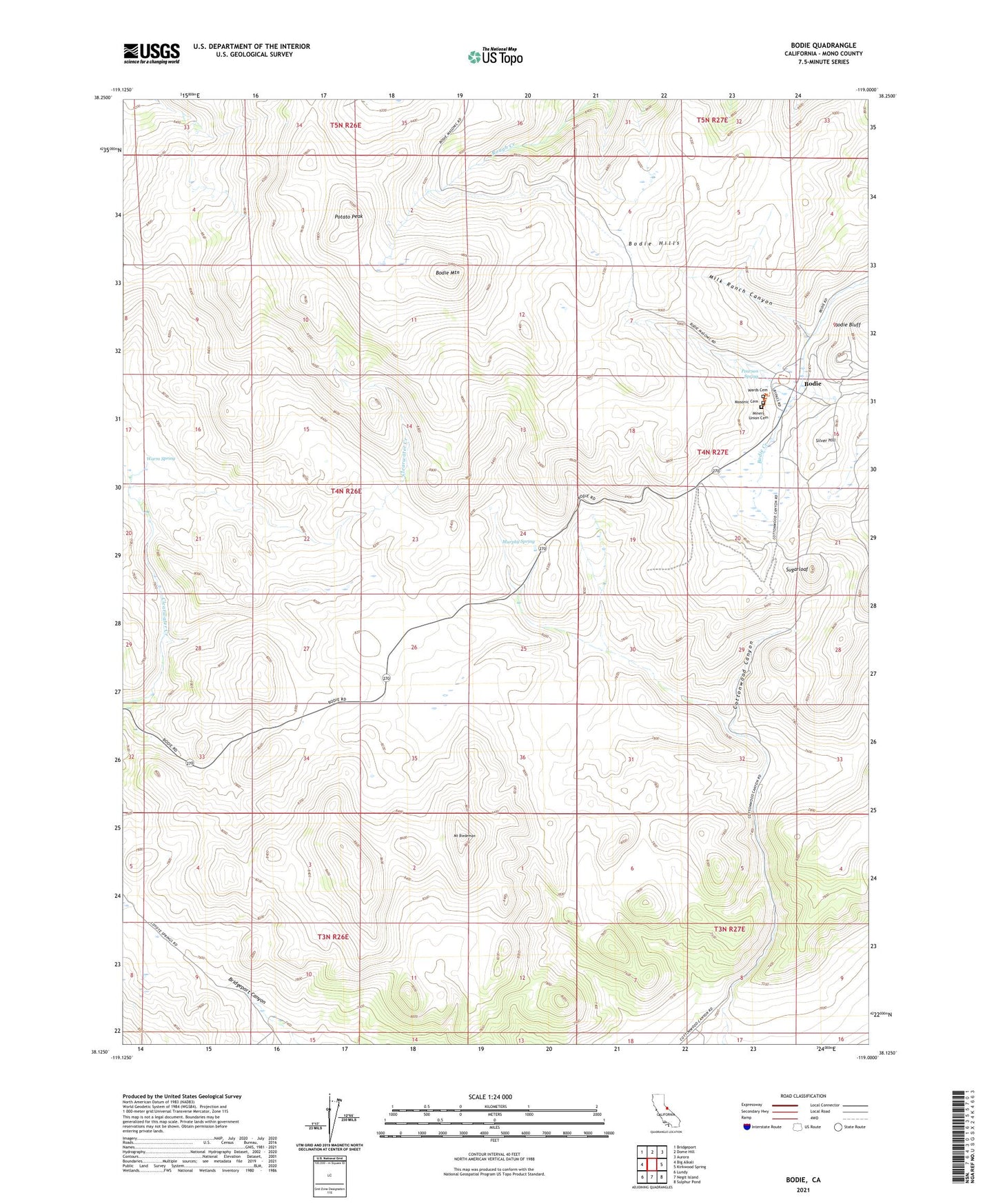
Bodie California US Topo Map
Couldn't load pickup availability
Also explore the Bodie Forest Service Topo of this same quad for updated USFS data
2021 topographic map quadrangle Bodie in the state of California. Scale: 1:24000. Based on the newly updated USGS 7.5' US Topo map series, this map is in the following counties: Mono. The map contains contour data, water features, and other items you are used to seeing on USGS maps, but also has updated roads and other features. This is the next generation of topographic maps. Printed on high-quality waterproof paper with UV fade-resistant inks.
Quads adjacent to this one:
West: Big Alkali
Northwest: Bridgeport
North: Dome Hill
Northeast: Aurora
East: Kirkwood Spring
Southeast: Sulphur Pond
South: Negit Island
Southwest: Lundy
This map covers the same area as the classic USGS quad with code o38119b1.
Contains the following named places: Andrews House, Bodie, Bodie Athletic Club, Bodie Bluff, Bodie Hills, Bodie Mountain, Bodie Post Office, Bodie State Historic Park, Bodie State Historic Park Office, Bodie Town Jail, Bon Ton Lodging House, Boone Store and Warehouse, Brown House, Burkham House, Cameron House, Campana House, Chinatown, Conway House, Cottonwood Canyon, D V Cain House, Dechambeau Hotel, Doctor Streets House, Dog Face Georges House, Dolan House, Donnelly House, Durham House, Forsythe House, Garraty House, Gordon House, Gregory House, Grey House, Hoover House, Klipstein House, Lottie Johl House, Major House, Masonic Cemetery, McDonald House, McInnis House, McMillan House, Mendocini House, Milk Ranch Canyon, Miller Boarding House, Miller House, Miller Rooming House, Miners Union Cemetery, Miners Union Hall, Mormon Ranch, Mount Biedeman, Moyle House, Moyle Warehouse, Murphy Spring, O'Brian Station and Warehouse, Occidental Hotel, Owen House, Parr House, Pearson Spring, Potato Peak, Quinville House, Red Cloud Mine, Seiler House, Selhorn House, Silver Hill, Soderling Assay Office, Stuart Kirkwood Livery Stable, Sturgeon House, Sugarloaf, Swazey Hotel, Todd House, Tong Sing Wo, Tracy House, United States Hotel, Wards Cemetery, Warm Spring, Wheaton and Hollis Hotel


