MyTopo
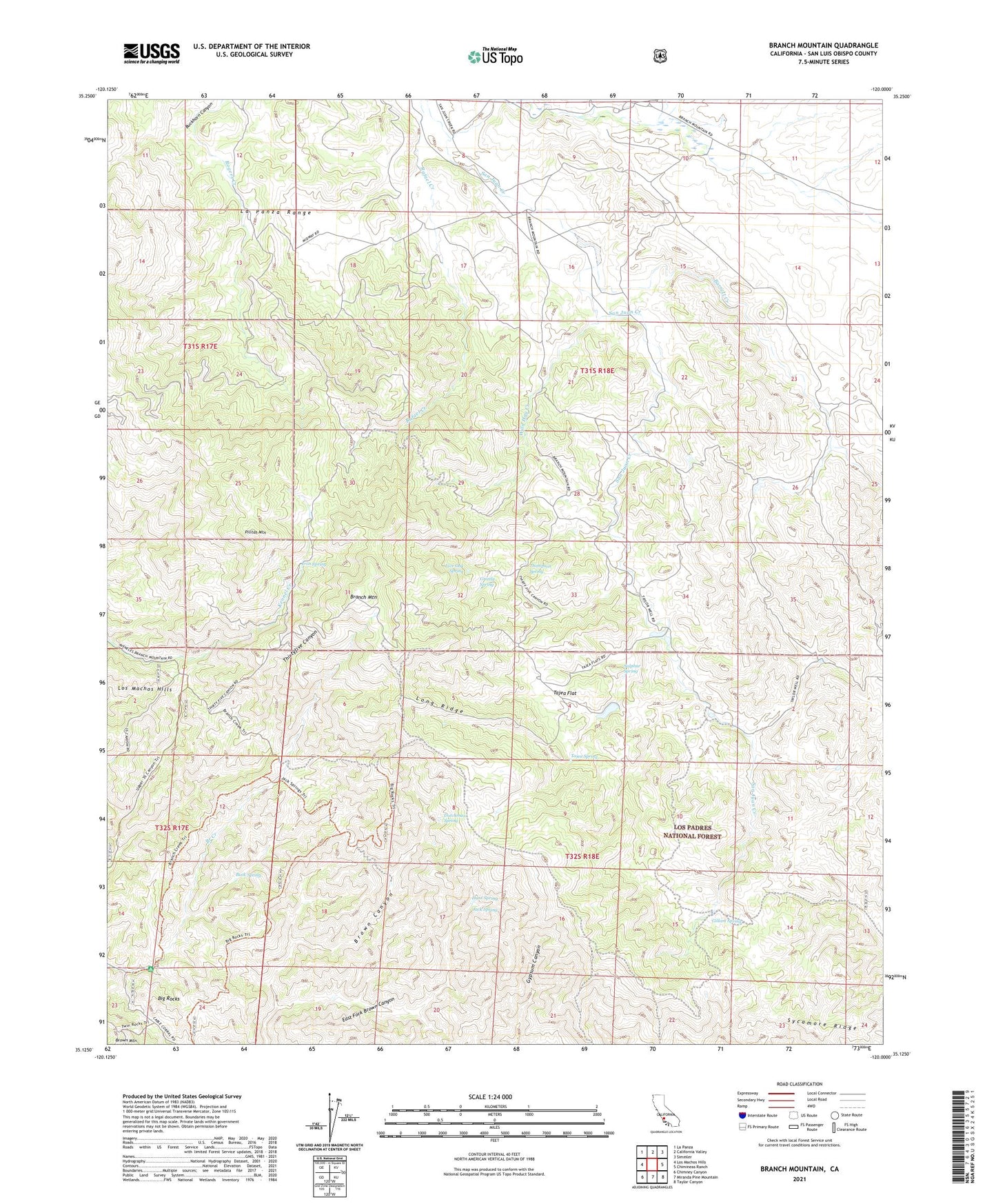
Branch Mountain California US Topo Map
Couldn't load pickup availability
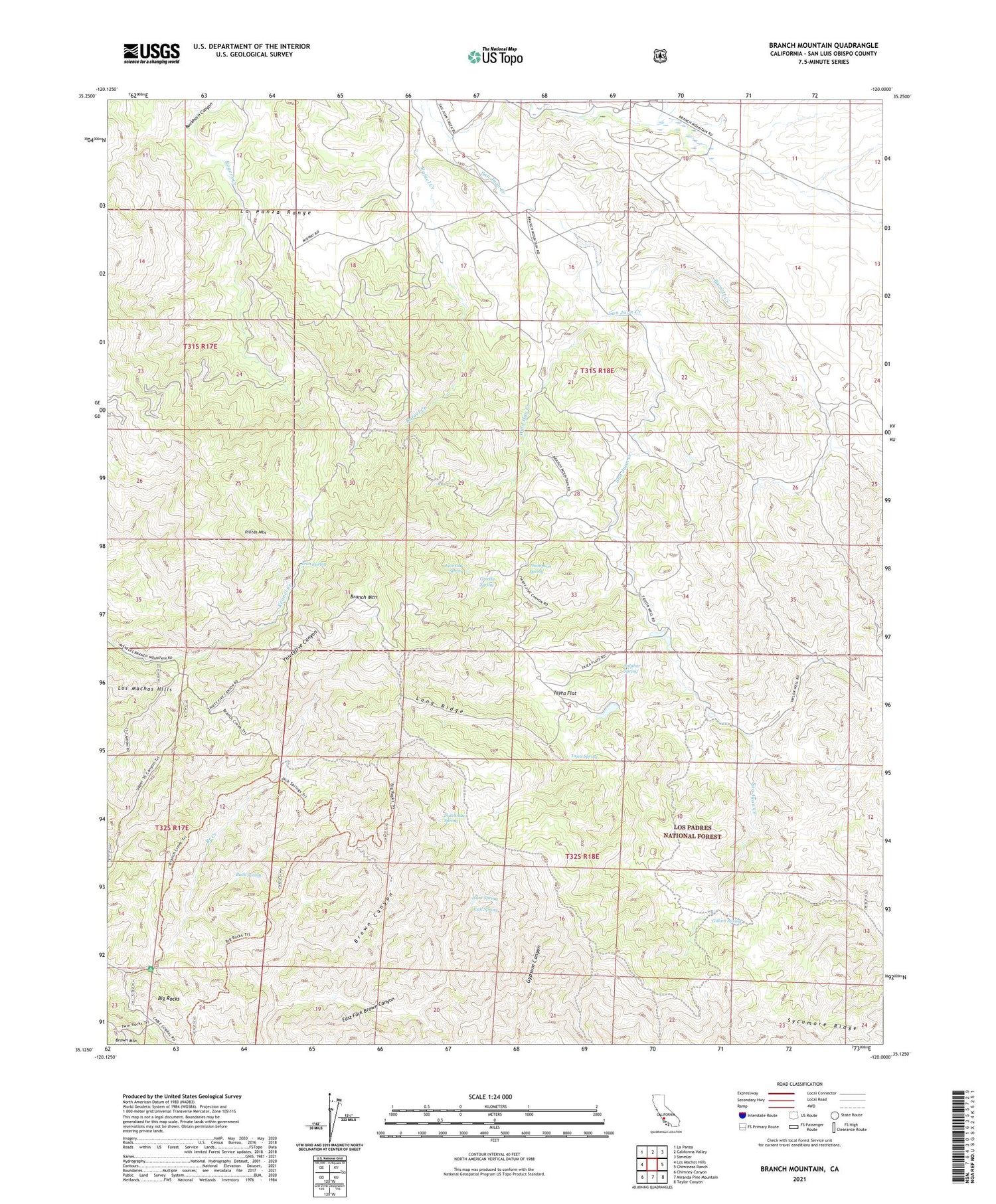
Also explore the Branch Mountain Forest Service Topo of this same quad for updated USFS data
2021 topographic map quadrangle Branch Mountain in the state of California. Scale: 1:24000. Based on the newly updated USGS 7.5' US Topo map series, this map is in the following counties: San Luis Obispo. The map contains contour data, water features, and other items you are used to seeing on USGS maps, but also has updated roads and other features. This is the next generation of topographic maps. Printed on high-quality waterproof paper with UV fade-resistant inks.
Quads adjacent to this one:
West: Los Machos Hills
Northwest: La Panza
North: California Valley
Northeast: Simmler
East: Chimineas Ranch
Southeast: Taylor Canyon
South: Miranda Pine Mountain
Southwest: Chimney Canyon
Contains the following named places: Barrett Creek, Big Rocks, Branch Mountain, Buck Spring, Buckhorn Ranch, Carrisa Ranch, Dutchman Spring, East Fork Brown Canyon, Gillam Spring, Grizzly Spring, Hunt Spring, Iron Spring, Jack Spring, Live Oak Spring, Long Ridge, Luelling Ranch, Pilitas Mountain, Scott Ranch, Sulphur Spring, Sycamore Ridge, Tajea Flat, Tajea Spring, Taylor Well, Thompson Spring, Wild Hog Creek, Yeary Ranch