MyTopo
La Porte California US Topo Map
Couldn't load pickup availability
Also explore the La Porte Forest Service Topo of this same quad for updated USFS data
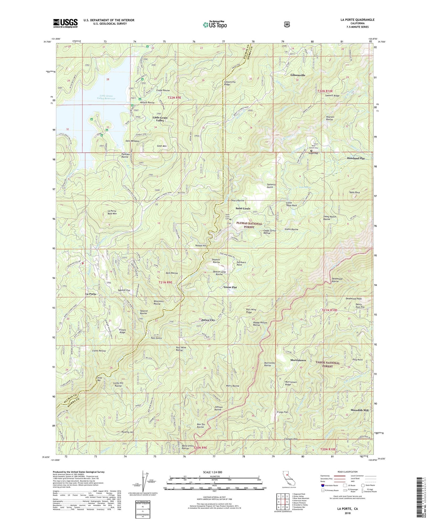
2022 topographic map quadrangle La Porte in the state of California. Scale: 1:24000. Based on the newly updated USGS 7.5' US Topo map series, this map is in the following counties: Sierra, Plumas. The map contains contour data, water features, and other items you are used to seeing on USGS maps, but also has updated roads and other features. This is the next generation of topographic maps. Printed on high-quality waterproof paper with UV fade-resistant inks.
Quads adjacent to this one:
West: American House
Northwest: Dogwood Peak
North: Onion Valley
Northeast: Blue Nose Mountain
East: Mount Fillmore
Southeast: Downieville
South: Goodyears Bar
Southwest: Strawberry Valley
This map covers the same area as the classic USGS quad with code o39120f8.
Contains the following named places: Barnards Diggings, Bella Union Ravine, Bellevue Mine, Bon Ton Ravine, Caledonia Mine, California Mine, Cedar Grove Ravine, China Bar, Clamper Flat, Clarks Ravine, Claybank Mine, Clippership Mine, Craigs Flat, Craigs Flat Placer Diggings, Creed Ravine, Dark Ravine, Davis Motor Mine, Deacon Long Ravine, Deadwood Ravine, Devils Gate, Devils Post Pile, East Branch Little Canyon Creek, East Branch Rabbit Creek, East Branch Slate Creek, Flume Camp, French Camp, Gardners Point, Gardners Point Dam, Gibson Creek, Gibsonville, Gibsonville Cemetery, Goat Mountain, Grass Flat, Happy Hollow Ravine, Howland Flat, Howland Flat Catholic Cemetery, Howland Flat Cemetery, Illinois Ridge, Independence Mine, Johnson Ravine, Kenzie Ravine, Knuts Spring, La Porte, La Porte Bald Mountain, La Porte Cemetery, La Porte Census Designated Place, La Porte Fire Protection District, La Porte School, Little Grass Valley, Little Grass Valley Census Designated Place, Little Grass Valley Reservoir, Little Grass Valley Trail, Little Table Rock, Little Table Rock Dam, Little Table Rock Reservoir, Lucky Hill Mine, Lucky Hill Ravine, Maredith Mill, Monumental Mine, Morristown, Morristown Cemetery, Morristown Ravine, Morristown Ridge, Morrs Ravine, Mountain Boy Mine, Oats Meadow, Old Mill Creek, Pacific Mine, Pancake Ravine, Pats Gulch, Pearson Ravine, Pine Grove Cemetery, Pine Grove Creek, Pioneer Mine Placer Diggings, Plug Point, Port Wine, Port Wine Cemetery, Port Wine Ravine, Port Wine Ridge, Potosi, Potosi Creek, Poverty Hill, Queen City, Rabbit Creek, Reese Ravine, Sacketts Gulch, Saint Louis, Saint Louis Cemetery, Sawmill Ravine, Sears Ravine, Secret Diggings, Sheep Ranch Ravine, Spanish Flat, Spanish Ravine, Stahis Ravine, Sugarloaf, Taber Mine, Table Rock, Thistle Shaft, Tooms Creek, Union Keystone Mine, Upper Dutch Diggings, Wahoo, Wallace Creek, West Coast Mine, Wisconsin Ravine, Woods Mine, Yankee Hill, ZIP Code: 95981


