MyTopo
Lemoore California US Topo Map
Couldn't load pickup availability
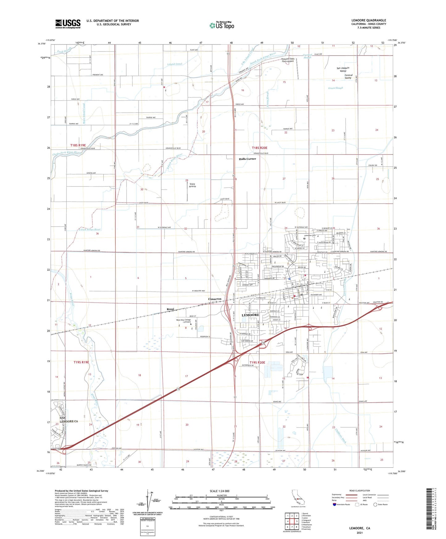
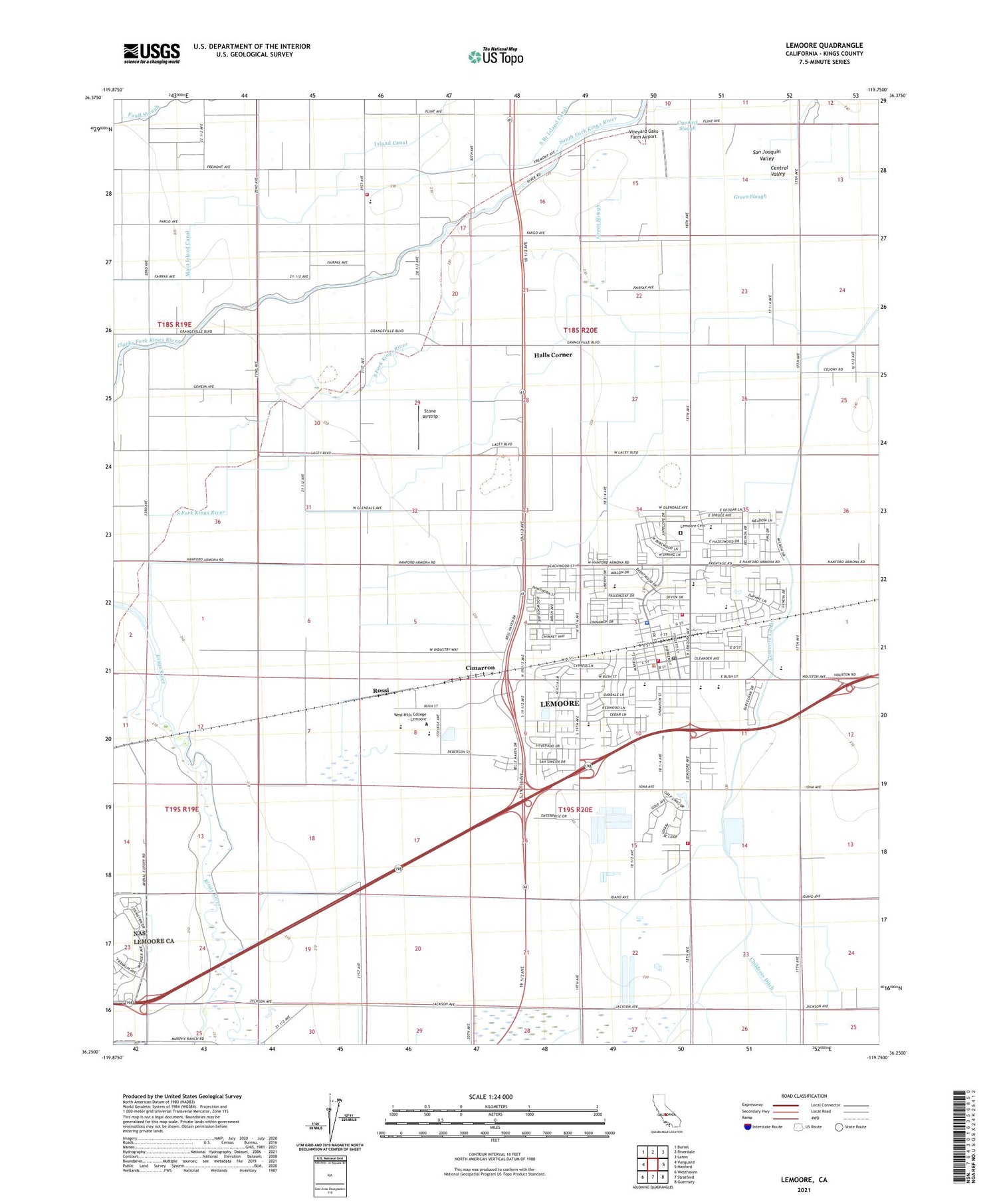
2021 topographic map quadrangle Lemoore in the state of California. Scale: 1:24000. Based on the newly updated USGS 7.5' US Topo map series, this map is in the following counties: Kings. The map contains contour data, water features, and other items you are used to seeing on USGS maps, but also has updated roads and other features. This is the next generation of topographic maps. Printed on high-quality waterproof paper with UV fade-resistant inks.
Quads adjacent to this one:
West: Vanguard
Northwest: Burrel
North: Riverdale
Northeast: Laton
East: Hanford
Southeast: Guernsey
South: Stratford
Southwest: Westhaven
This map covers the same area as the classic USGS quad with code o36119c7.
Contains the following named places: American Ambulance, Childress Ditch, Cimarron, City of Lemoore, Crooked Slough, El Adobe de los Robles Historic Park, El Dorado Mobile Home Park, Federated Church, Green Slough, Halls Corner, Heritage Park, Island Canal, Island Church, Island Elementary School, Jamison High School, Jefferson School, Kings Christian Elementary School, Kings County Fire Department Station 6 Island, Kings County Fire Department Station 7 South Lemoore, Kings Mobile Home Estates, Lemoore, Lemoore Adult School, Lemoore Baptist Church, Lemoore Branch Kings County Library, Lemoore Canal, Lemoore Cemetery, Lemoore City Hall, Lemoore Civic Auditorium, Lemoore Division, Lemoore Elementary School, Lemoore Golf Course, Lemoore High School, Lemoore Industrial Park, Lemoore Plaza Shopping Center, Lemoore Police Department, Lemoore Post Office, Lemoore Square Shopping Center, Lemoore Volunteer Fire Department, Lemoore Volunteer Fire Department North Side Station, Liberty Intermediate School, Lincoln School, Magnolia Gardens Mobile Home Park, Mary Immaculate Queen School, Meadow Lane Elementary School, Mussel Slough School, North Fork Kings River, P W Engvall Middle School, Pentecostal Church of God, Rossi, Saint Peters Roman Catholic Church, Seventh Day Adventist Church, South Branch Island Canal, South Fork Kings River, South Fork Ranch, Stone Airstrip, Tony Martin Dairy, Veterans Memorial Building, Vineyard Oaks Farm Airport, West Branch Last Chance Ditch, Westfield Park, ZIP Code: 93245


