MyTopo
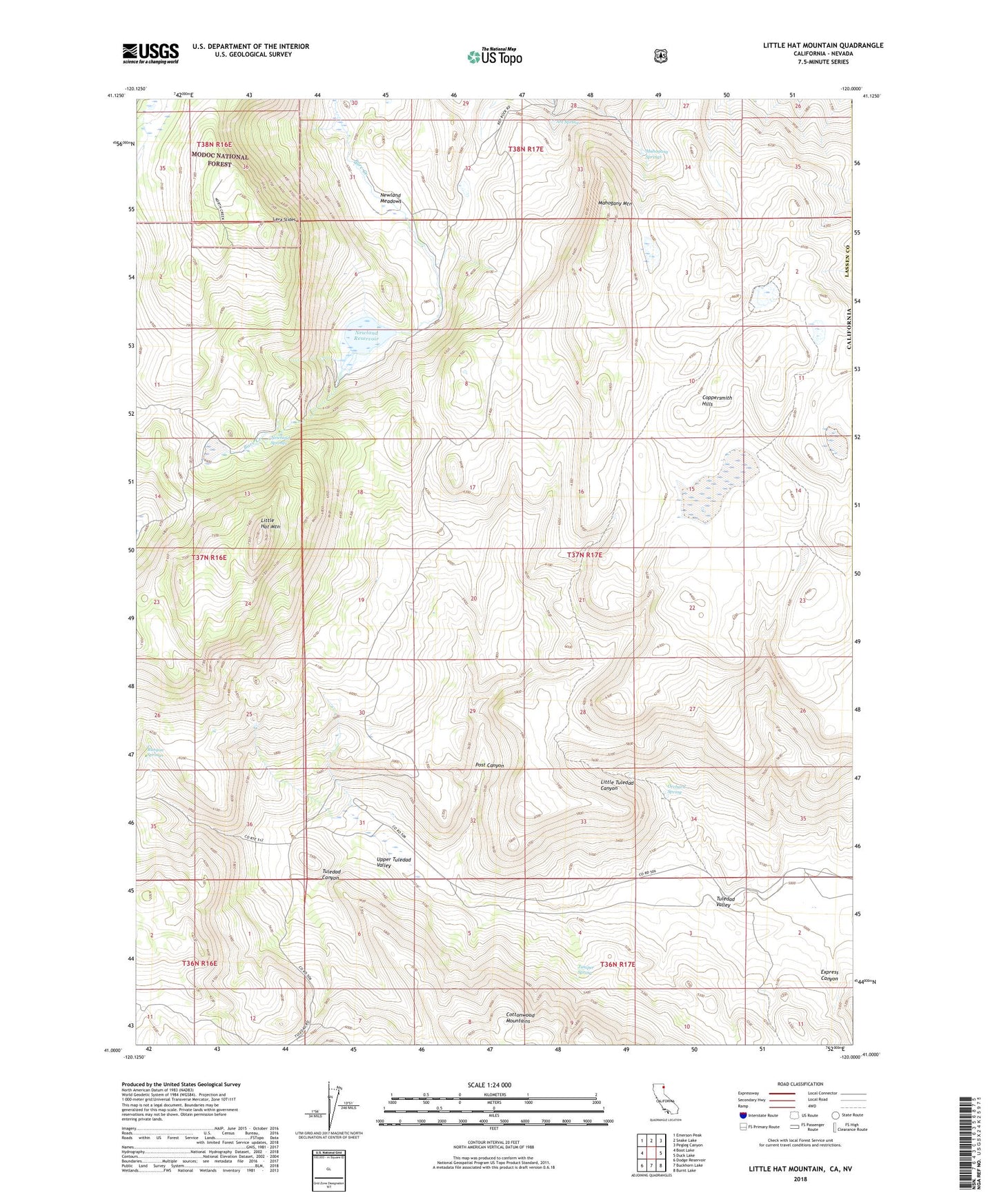
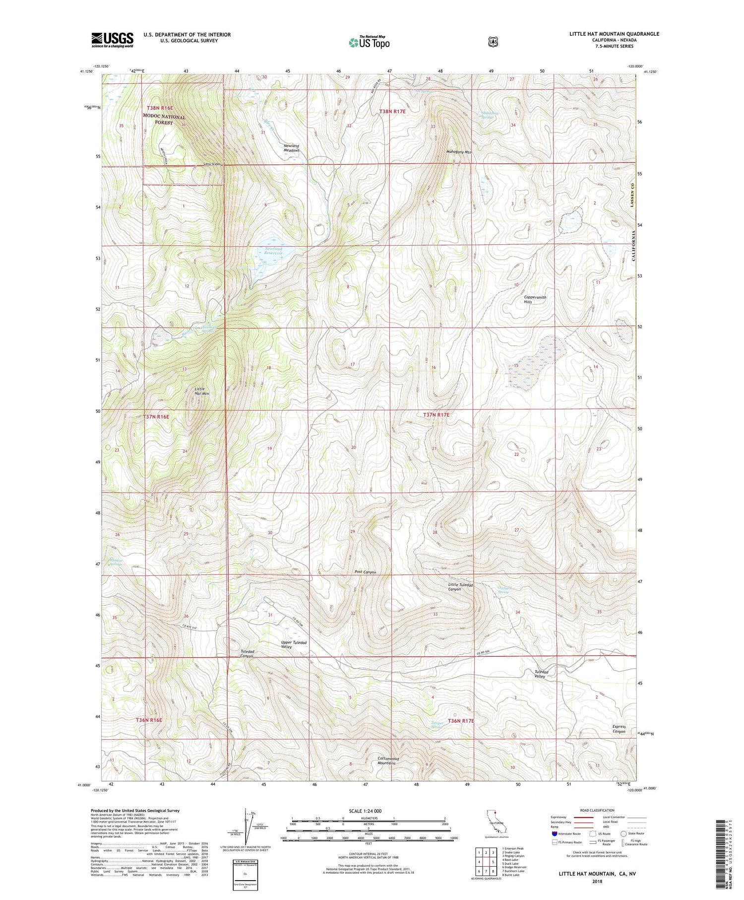
Little Hat Mountain California US Topo Map
Couldn't load pickup availability
Also explore the Little Hat Mountain Forest Service Topo of this same quad for updated USFS data
2021 topographic map quadrangle Little Hat Mountain in the state of California. Scale: 1:24000. Based on the newly updated USGS 7.5' US Topo map series, this map is in the following counties: Lassen, Washoe. The map contains contour data, water features, and other items you are used to seeing on USGS maps, but also has updated roads and other features. This is the next generation of topographic maps. Printed on high-quality waterproof paper with UV fade-resistant inks.
Quads adjacent to this one:
West: Boot Lake
Northwest: Emerson Peak
North: Snake Lake
Northeast: Pegleg Canyon
East: Duck Lake
Southeast: Burnt Lake
South: Buckhorn Lake
Southwest: Dodge Reservoir
Contains the following named places: Ant Spring, Coppersmith Hills, Express Canyon, Juniper Spring, Lava Slides, Little Hat Mountain, Little Tuledad Canyon, Mahogany Mountain, Mahogany Springs, Newland Meadows, Newland Reservoir, Newland Springs, Old Marr Ranch, Old Millsap Ranch, Orchard Spring, Post Canyon, Runyon Springs, Tuledad Canyon, Upper Tuledad Valley, Wire Lake