MyTopo
Lodi South California US Topo Map
Couldn't load pickup availability
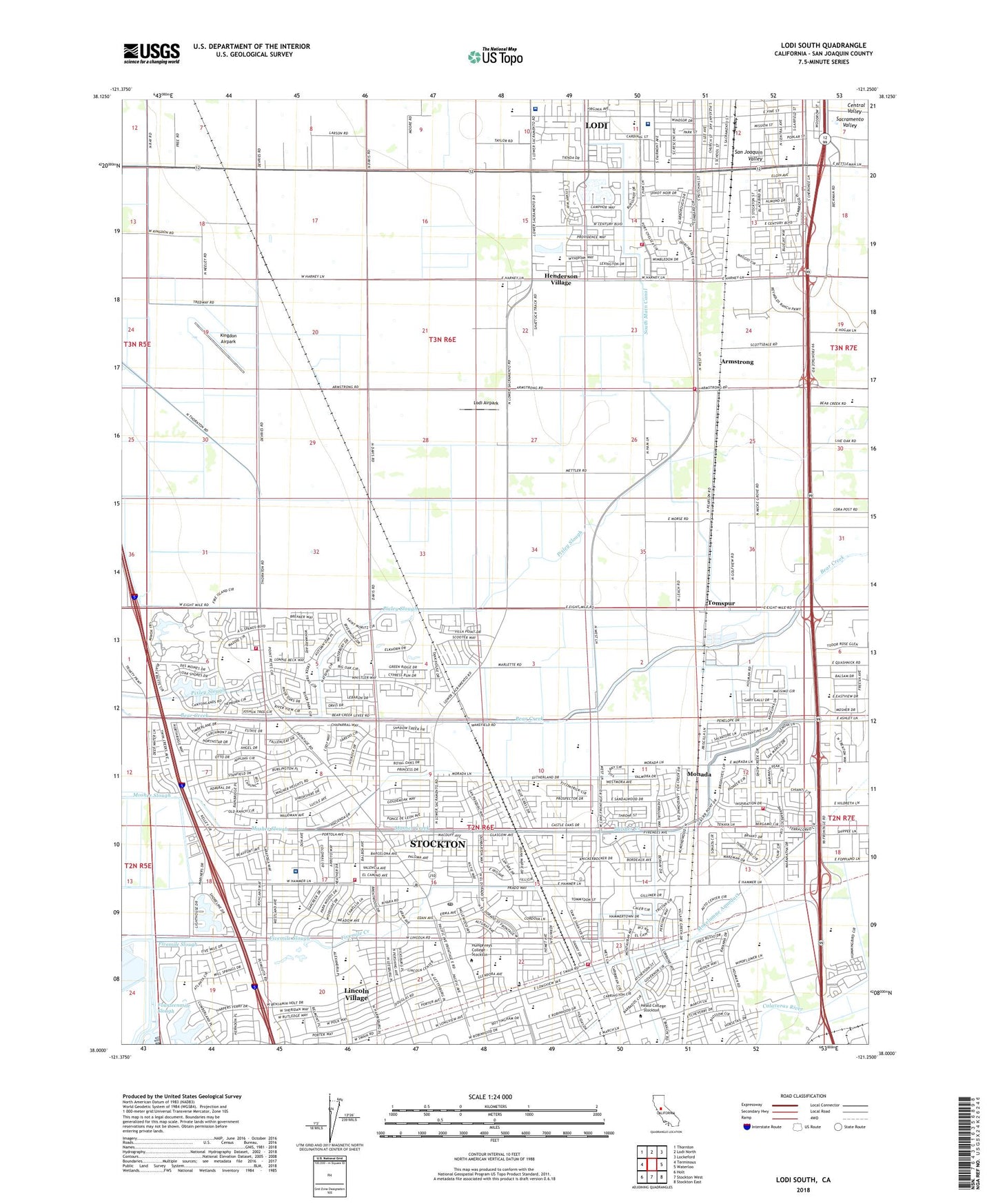
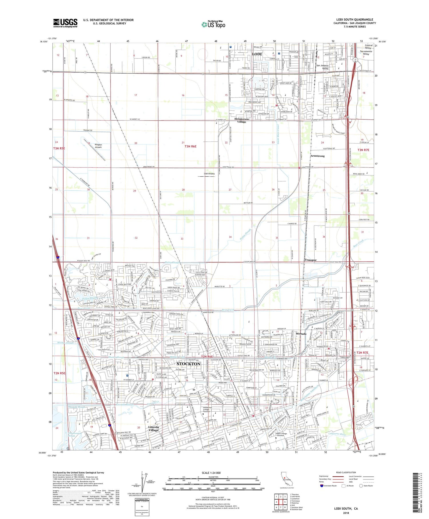
2021 topographic map quadrangle Lodi South in the state of California. Scale: 1:24000. Based on the newly updated USGS 7.5' US Topo map series, this map is in the following counties: San Joaquin. The map contains contour data, water features, and other items you are used to seeing on USGS maps, but also has updated roads and other features. This is the next generation of topographic maps. Printed on high-quality waterproof paper with UV fade-resistant inks.
Quads adjacent to this one:
West: Terminous
Northwest: Thornton
North: Lodi North
Northeast: Lockeford
East: Waterloo
Southeast: Stockton East
South: Stockton West
Southwest: Holt
This map covers the same area as the classic USGS quad with code o38121a3.
Contains the following named places: Adams Elementary School, American Legion Park, Anderson Park, Ansel Adams Elementary School, Armstrong, Bear Creek High School, Beckman Elementary School, Beckman Park, Berea Baptist Church of Morada, Blakely Park, Calvary Baptist Church, Carden School of Stockton, Castelanelli Brothers Dairy, Cherokee Memorial Park, Christian and Missionary Alliance Church, Church of God, Church of the Presentation, City of Lodi, Clairmont Elementary School, Colonial Heights Elementary School, Cortez Park, Creekside Elementary School, Davis School, Delta Church of the Nazarene, Delta Sierra Middle School, Dentoni Park, Dorothy J Mahin School, Ebenezer Congregational Church, Eightmile House, Elkhorn Country Club, Elkhorn Elementary School, Ellerth E. Larson Elementary School, Emil Seifert Recreation Center, English Oaks Commons, Episcopal Church of Saint Anne, Fivemile Creek, Fivemile House, Fivemile Slough, Gibbons Park, Hammer Ranch Post Office, Hammer Ranch Shopping Center, Harmony Baptist Church, Heald College - Stockton, Henderson Community Day School, Henderson Village, Herbert Kohl Open School, Holiday Park, Holy Cross United Methodist Church, Humphreys College - Stockton, Humphreys College Library, John R Williams Elementary School, Kaehler Dairy, Kennedy Elementary School, KFMR-FM (Stockton), Kingdon, Kingdon Airpark, KJOY-FM (Stockton), Kofu Park, KWIN-FM (Lodi), Lafayette School, Lane, Larssen High School, Laughin Park, Leroy Nichols Elementary School, Lincoln Elementary School, Lincoln High School, Lincoln Presbyterian Church, Lincoln Shopping Center, Lincoln Village, Lincoln Village Census Designated Place, Live Oak Elementary School, Loch Lomond Park, Lodi Academy, Lodi Airpark, Lodi Fire Department Station 3, Lodi Memorial Hospital, Lodi Memorial Hospital Heliport, Lodi Memorial Hospital West, Lodi Municipal Service Center, Lodi Senior Elementary School, Mable Barron Elementary School, Margaret K Troke Branch Stockton-San Joaquin County Library, Marina Shopping Center, Mayfair Shopping Center, Micke Grove Country Park, Monada, Mosher Creek, Mosher Slough, North Lake, Oak Grove Regional Park, Oakwood Elementary School, Pacific School, Parklane Elementary School, Parkwoods Shopping Center, Pixley Park, Plaza Robles High School, Podesta Ranch Elementary School, Presentation Elementary School, Pulliam Elementary School, Saint Mary's High School, Salas Park, Sandman Park, Seventh Day Adventist Elementary School, Sherwood Forest Park, Sierra Middle School, South Main Canal, Southwest Plaza Shopping Center, Stockton Airport, Stockton Christian School, Stockton Fire Department Station 11, Stockton Fire Department Station 13, Stockton Fire Department Station 14, Stockton Fire Department Station 7, Stonewood Shopping Center, Sutter Health Stockton Surgery Center, Swenson Park, Swenson Park Golf Course, The Church of Jesus Christ of Latter Day Saints, Tokay High School, Tomspur, Tully C Knoles Elementary School, Twin Oaks Baptist Church, Valley Bible Church, Valverde Park, Villa Dorado Park, Village Oaks Elementary School, Village Oaks Shopping Center, Vinewood Park, Wagner-Holt Elementary School, Westwood Elementary School, Woodbridge Fire Protection District Station 2, Zion Lutheran Church, ZIP Codes: 95207, 95209, 95210


