MyTopo
Long Beach California US Topo Map
Couldn't load pickup availability
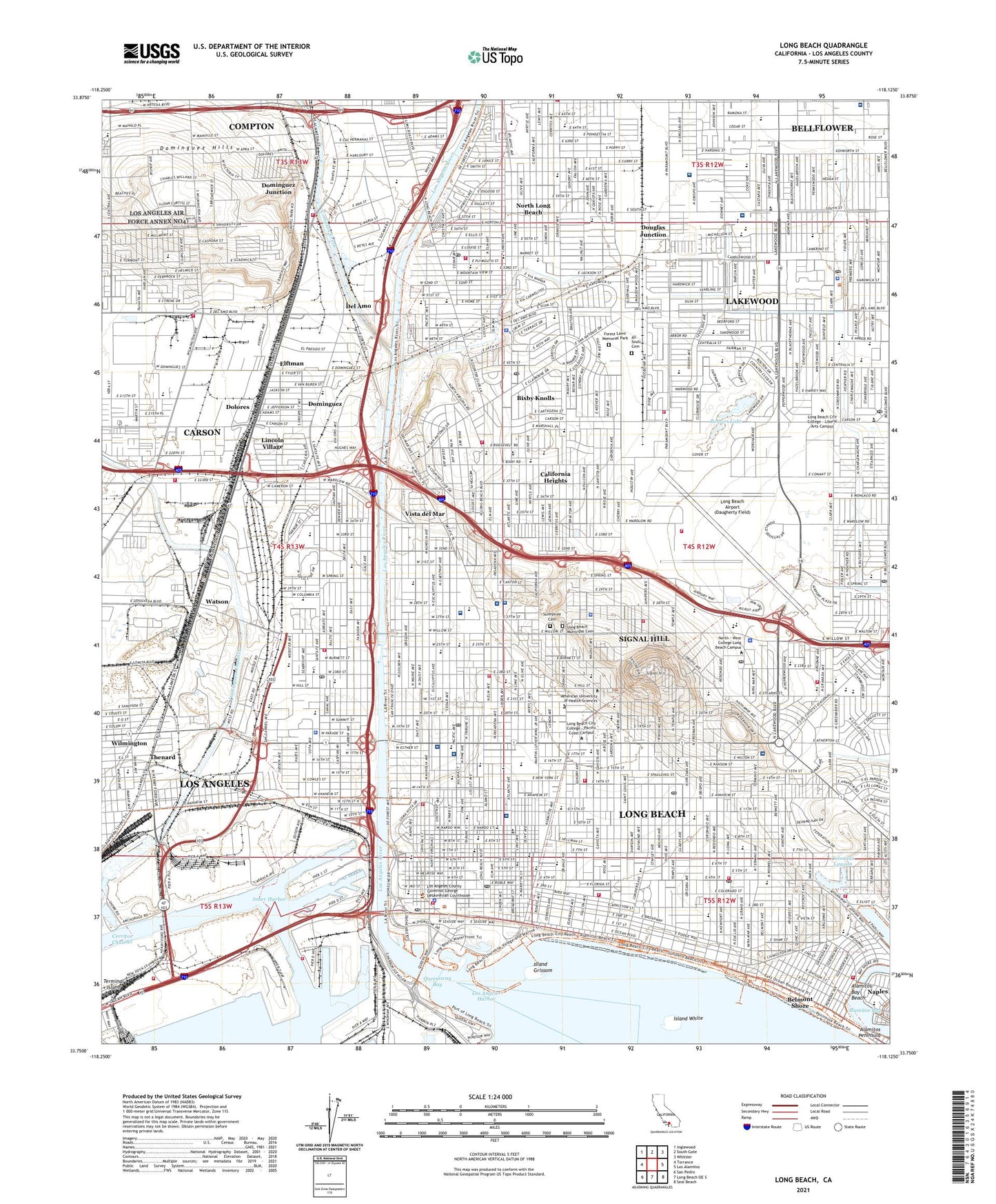
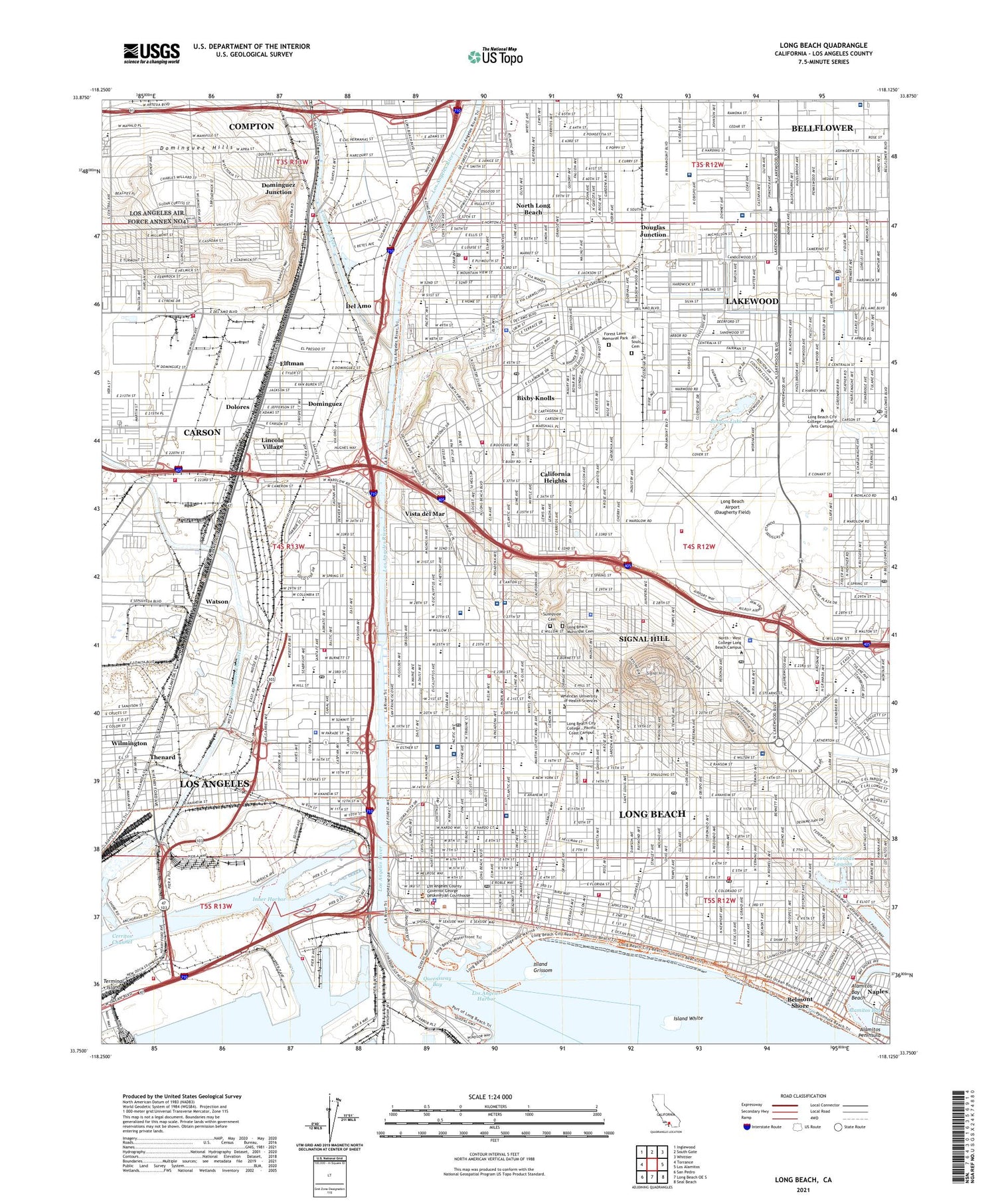
2021 topographic map quadrangle Long Beach in the state of California. Scale: 1:24000. Based on the newly updated USGS 7.5' US Topo map series, this map is in the following counties: Los Angeles. The map contains contour data, water features, and other items you are used to seeing on USGS maps, but also has updated roads and other features. This is the next generation of topographic maps. Printed on high-quality waterproof paper with UV fade-resistant inks.
Quads adjacent to this one:
West: Torrance
Northwest: Inglewood
North: South Gate
Northeast: Whittier
East: Los Alamitos
Southeast: Seal Beach
South: Long Beach OE S
Southwest: San Pedro
This map covers the same area as the classic USGS quad with code o33118g2.
Contains the following named places: Admiral Kidd Park, Alamitos Bay Beach, Alamitos Peninsula, All Souls Cemetery, Alta Bellwood Hospital, Anderson Park, Atlantic Medical Building, Atlantic Plaza Park, Back Channel, Bancroft Middle School, Bangle, Barton Elementary School, Bayshore Aquatic Playground Park, Belmont Heights, Belmont Heights Convalescent Hospital, Belmont Pier, Belmont Shore, Betsy Ross School, Bickerstaff Family Center, Birney Elementary School, Biscailuz Park, Bixby Elementary School, Bixby Knolls, Bixby Knolls Park, Bixby Knolls Shopping Center, Bixby Park, Blair Field, Bluff Heights, Bluff Park, Bouton Lake, Boyd High School, Bruin Stadium, Bryant Elementary School, Buffum Elementary School, Buffum Medical Pavilion, Burbank Elementary School, Burroughs Elementary School, California Heights, California Recreation Center, Cambodia Town, Carroll Parks, Carver Elementary School, Cerritos Channel, Cerritos Gun Club, Channel Number One, Channel Three, Channel Two, Cherry Avenue Park, Cherry Cove Park, Chittick Field Park, City College, City of Long Beach, City of Signal Hill, College Medical Center, College Medical Center - South Campus, Collins Elementary School, Color Corner Shopping Center, Colorado Lagoon, Columbia Medical Building, Commodore Schuyler F Helms Draw Bridge, Community Hospital Long Beach, Compton Creek, Compton Division, Consolidated Slip, Constitution Park, Coolidge Park, Cota, Daniel Webster Elementary School, David Burcham Field, Del Amo, Del Amo Junior Seminary, Del Amo Senior Seminary, Doctor Thomas G Mills Park, Dolores, Dolphin Park, Domineguez Valley Hospital, Dominguez, Dominguez Hills, Dominguez Junction, Dominguez Park, Dominguez Ranch, Douglas Junction, Douglas MacArthur Park, Downtown Shoreline Marina, Drake Park, East Basin, East Wilmington Park, Edison Elementary School, Elftman, Elm Avenue Medical Plaza, Eugene Field Elementary School, Fellows Marina, Forest Lawn Memorial Park, Fountain Grove Convalescent Hospital, Franklin D Roosevelt Junior High School, Gaspur, General Hospital, Gerald Desmond Bridge, Golden Park, Harriman Hospital, Harte Elementary School, Hartley Medical Building, Henry Ford Bridge, Hillbrook Park, Hillside Medical Plaza, Houghton Park, Hudson Park, Inner Harbor, Island Grissom, Island White, Jackson Park, Joe Rodgers Field, Jonathan Jaques Children's Cancer Center, KFRN-AM (Long Beach), Kilroy AC8-Long Beach Heliport, KLON-FM (Long Beach), KNAC-FM (Long Beach), KSKQ-FM (Long Beach), KSUL-FM (Long Beach), La Casa Mental Health Rehabilitation Center, Lakewood, Lakewood Center Mall Shopping Center, Lakewood Golf Course, Lakewood Hospital, Lakewood Regional Medical Center, Lakewood Square Shopping Center, Lincoln Park, Lincoln Village, Long Beach, Long Beach Airport (Daugherty Field), Long Beach Army Air Field, Long Beach City Beach, Long Beach Memorial Medical Center, Long Beach Municipal Cemetery, Long Beach Naval Shipyard, Long Beach Plaza Shopping Center, Long Beach-Lakewood Division, Los Altos, Los Angeles Community Hospital at Bellflower, Los Angeles County Sheriff Lakewood Heliport, Los Angeles River, Los Cerritos, Los Cerritos Park, Magnolia Hospital, Marine Vista Park, Martin Luther King Junior Park, Mayfair Park, Memorial Care Imaging Center, Memorial Medical Building, Memorial Medical Center Long Beach Heliport, MemorialCare Miller Children's and Women's Hospital, Michelson Street Park, Miller Children's Abuse and Violence Intervention Center, NAA Long Beach Port Helistop, Nike Site LA-40C, Nike Site LA-40L, North Long Beach, Orizaba Park, Palm Beach Park, Pan American Park, Peter H Burnett Elementary School, Pier 1, Pier 2, Pier 3, Pier 4, Pier 6, Pier 7, Pier 8A, Pier 8B, Pier A, Pier B, Pier C, Pier D, Pier E, Pier H, Pier S, Pier T, Pine Avenue Pier, Port of Long Beach, Queen Mary, Queensway Bay, Queensway Bay Heliport, Queensway Bridge, Queensway Landing, Rainbow Lagoon Park, Ramona Park, Recreation Park, Recreation Park Golf Course, Redgate Memorial Recovery Center, Reservoir Park, Rose Park, Rosie the Riveter Park, Saint Christophers Convalescent Hospital and Sanitarium, Saint Mary Medical Center, Saint Mary Medical Center Heliport, Santa Cruz Park, Scherer Park, Seaside Memorial Hospital, Shoemaker Bridge, Shoreline Aquatic Park, Shoreline Village, Signal Hill, Signal Hill Hospital, Signal Hill Park, Silverado Park, Simon Bolivar Park, Skyline Golf Course, Somerset Park, Stearns Park, Sunnyside Cemetery, Sycamore Plaza Shopping Center, Terminal Island, Terminal Island Marina, Thenard, Veterans Memorial Park, Veterans Memorial Stadium, Victory Park, Virginia Country Club, Vista del Mar, Wardlow Park, Watson, Willowville, World Trade Center Heliport, Wrigley, ZIP Codes: 90712, 90755, 90803, 90804, 90805, 90806, 90807, 90810, 90813, 90814, 90831


