MyTopo
Lopez Point California US Topo Map
Couldn't load pickup availability
Also explore the Lopez Point Forest Service Topo of this same quad for updated USFS data
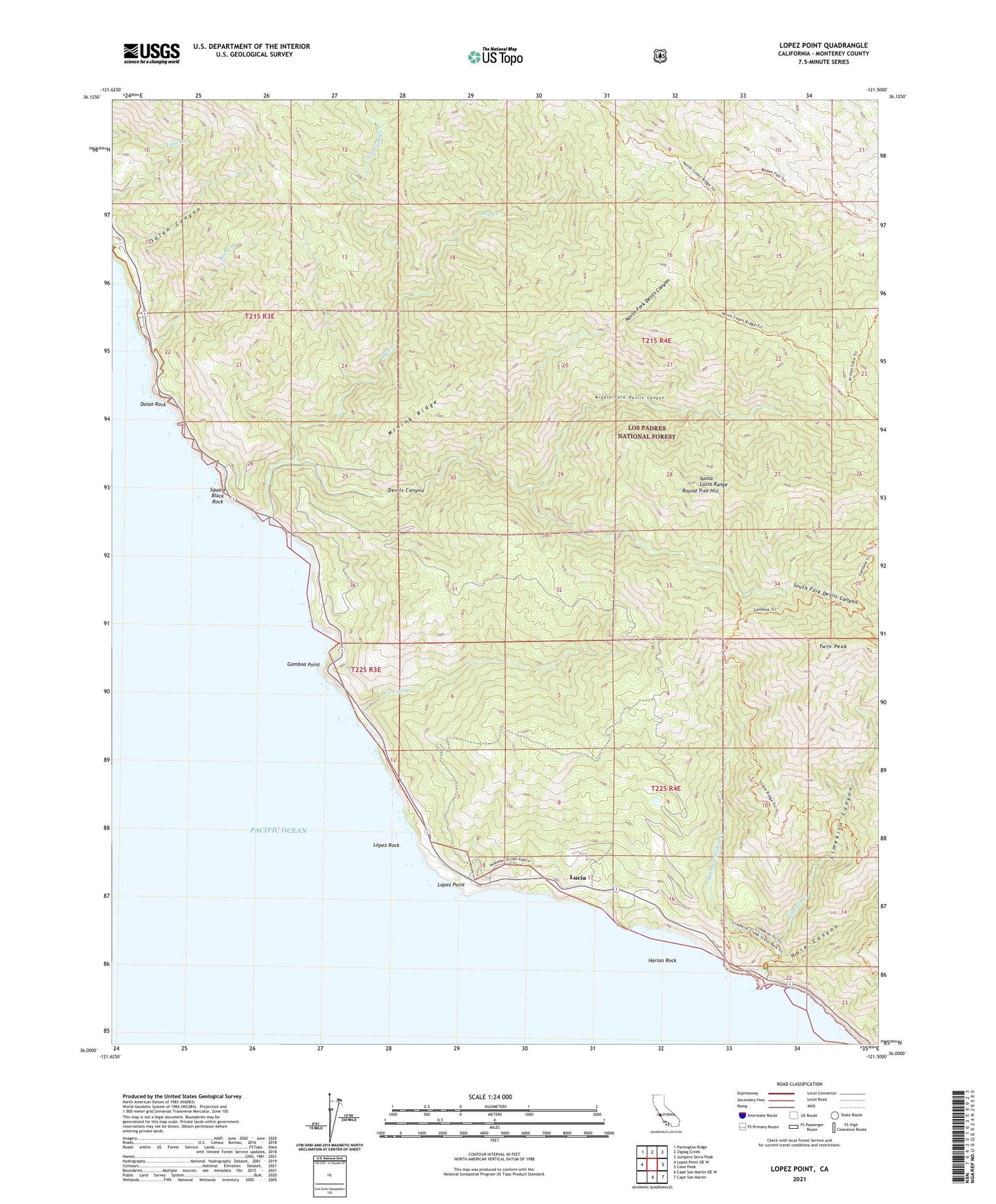
2021 topographic map quadrangle Lopez Point in the state of California. Scale: 1:24000. Based on the newly updated USGS 7.5' US Topo map series, this map is in the following counties: Monterey. The map contains contour data, water features, and other items you are used to seeing on USGS maps, but also has updated roads and other features. This is the next generation of topographic maps. Printed on high-quality waterproof paper with UV fade-resistant inks.
Quads adjacent to this one:
West: Lopez Point OE W
Northwest: Partington Ridge
North: Zigzag Creek
Northeast: Junipero Serra Peak
East: Cone Peak
Southeast: Cape San Martin
South: Cape San Martin OE W
This map covers the same area as the classic USGS quad with code o36121a5.
Contains the following named places: Big Creek, Devils Canyon, Dolan Rock, Gamboa Campground, Gamboa Point, Gamboa Trail, Goat Campground, Hare Canyon, Harlan Rock, Limekiln Beach Redwoods Campground, Limekiln Canyon, Limekiln Creek, Limekiln State Park, Limekiln State Wilderness, Lopez Point, Lopez Rock, Lower Bee Camp, Lucia, Lucia Post Office, Middle Fork Devils Canyon, Mining Ridge, North Coast Ridge Trail, North Fork Big Creek, North Fork Devils Canyon, Ojito Campground, Rat Creek, Redwood School, Rockland Landing, Round Tree Hill, South Fork Devils Canyon, Square Black Rock, Trail Spring Camp, Twin Peak, Vicente Creek, West Fork Limekiln Creek, ZIP Code: 93920